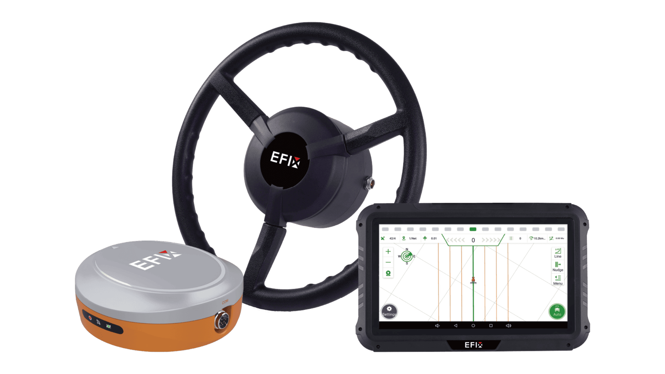
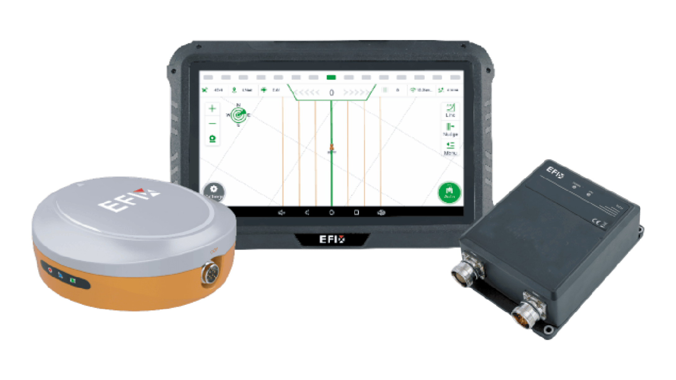
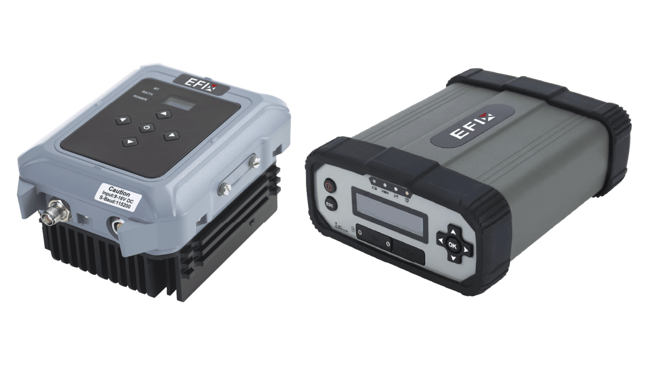
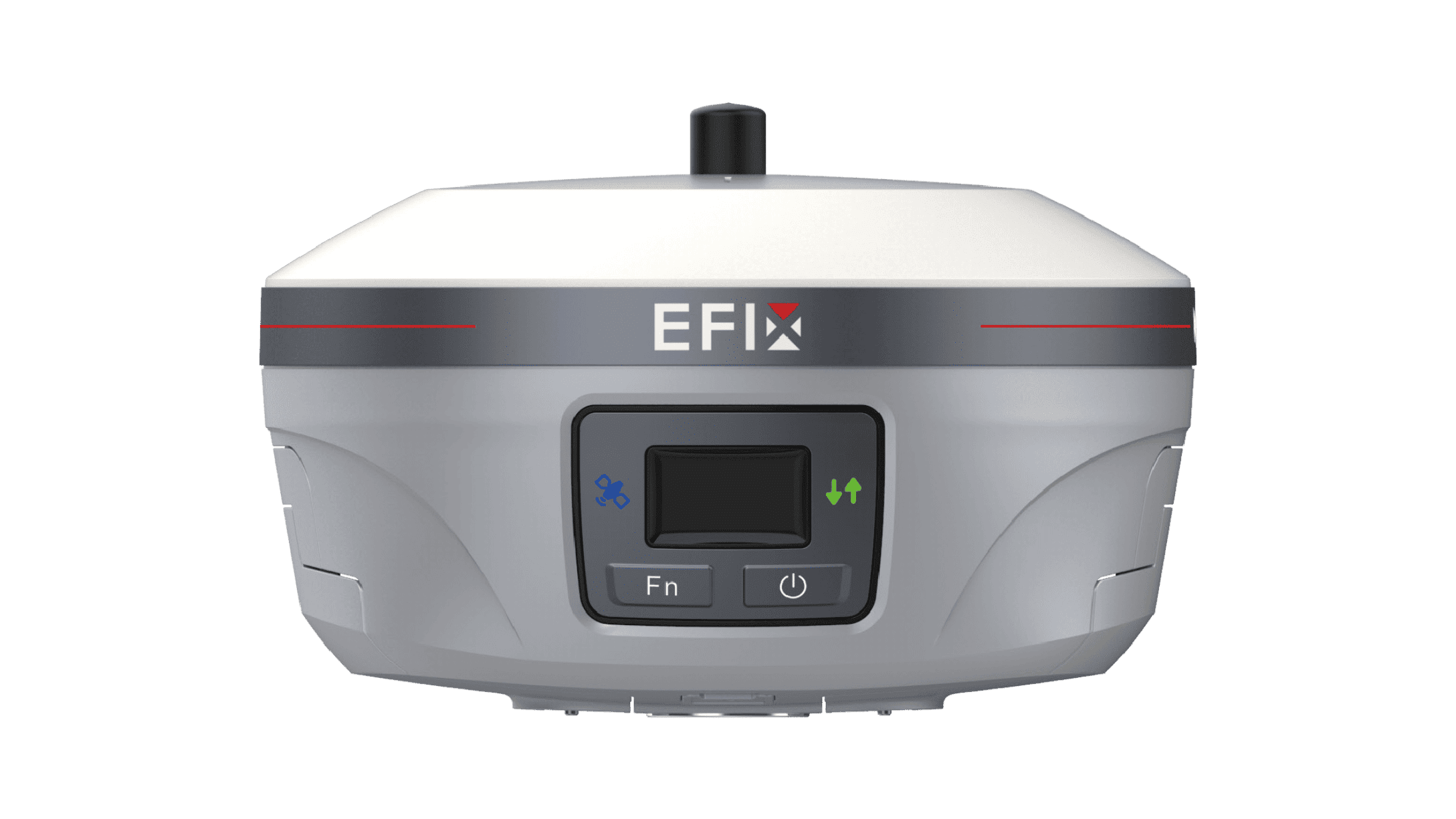
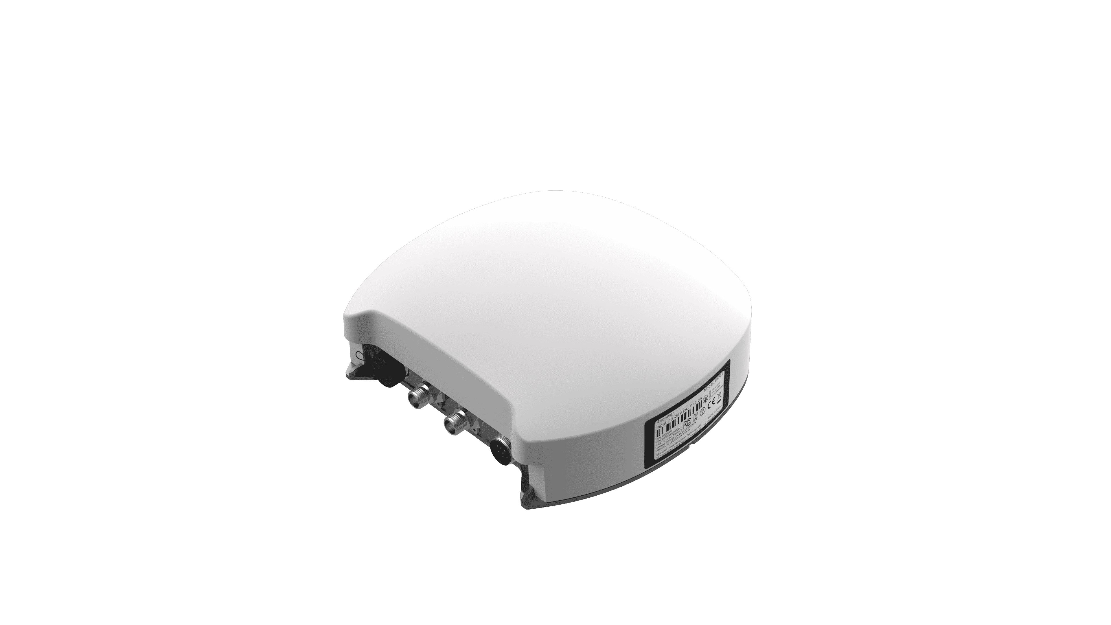
Getting the boundaries and base points right is where every successful farm season begins. We know that a general-purpose GPS unit might get you close, but a specialized gnss receiver for surveying is what actually keeps your maps and rows from drifting over time. At EFIX, we emphasize using tools like the eBase because we’ve seen how much trouble a few centimeters of error can cause when you are laying out drainage or setting up permanent boundaries. The difference between standard equipment and high-precision survey gear really shows up when you need to repeat a task year after year with the exact same coordinates.

Comparing Base Station Reliability and Standalone Fixes
A standard handheld device usually relies on a single signal source, which is fine for hiking but risky for field leveling. In contrast, using a dedicated gnss receiver for surveying like our eBase allows us to establish a local fixed point that corrects atmospheric interference in real-time. We’ve noticed that while a standard receiver might jump around based on satellite geometry, a professional RTK base stays locked on, providing a stable correction link to every tractor in the fleet. This setup means we aren't just guessing where the line is; we are working with a verified, repeatable position that doesn't change just because a few clouds rolled in.
Handling Interference and Tough Environments
We often work in areas with heavy tree lines or near metal structures that cause signal bounce, commonly known as multipath errors. A professional-grade gnss receiver for surveying is built with advanced internal filters to ignore these "ghost" signals that confuse basic receivers. In our experience, the eBase shines here because its 1608-channel high-sensitivity board tracks multiple constellations simultaneously, including GPS, GLONASS, and BeiDou. This heavy-duty tracking ensures that even if one part of the sky is blocked, the system maintains a fixed solution, preventing those frustrating signal drops that force us to stop work in the middle of a pass.
Seamless Integration and Field Versatility
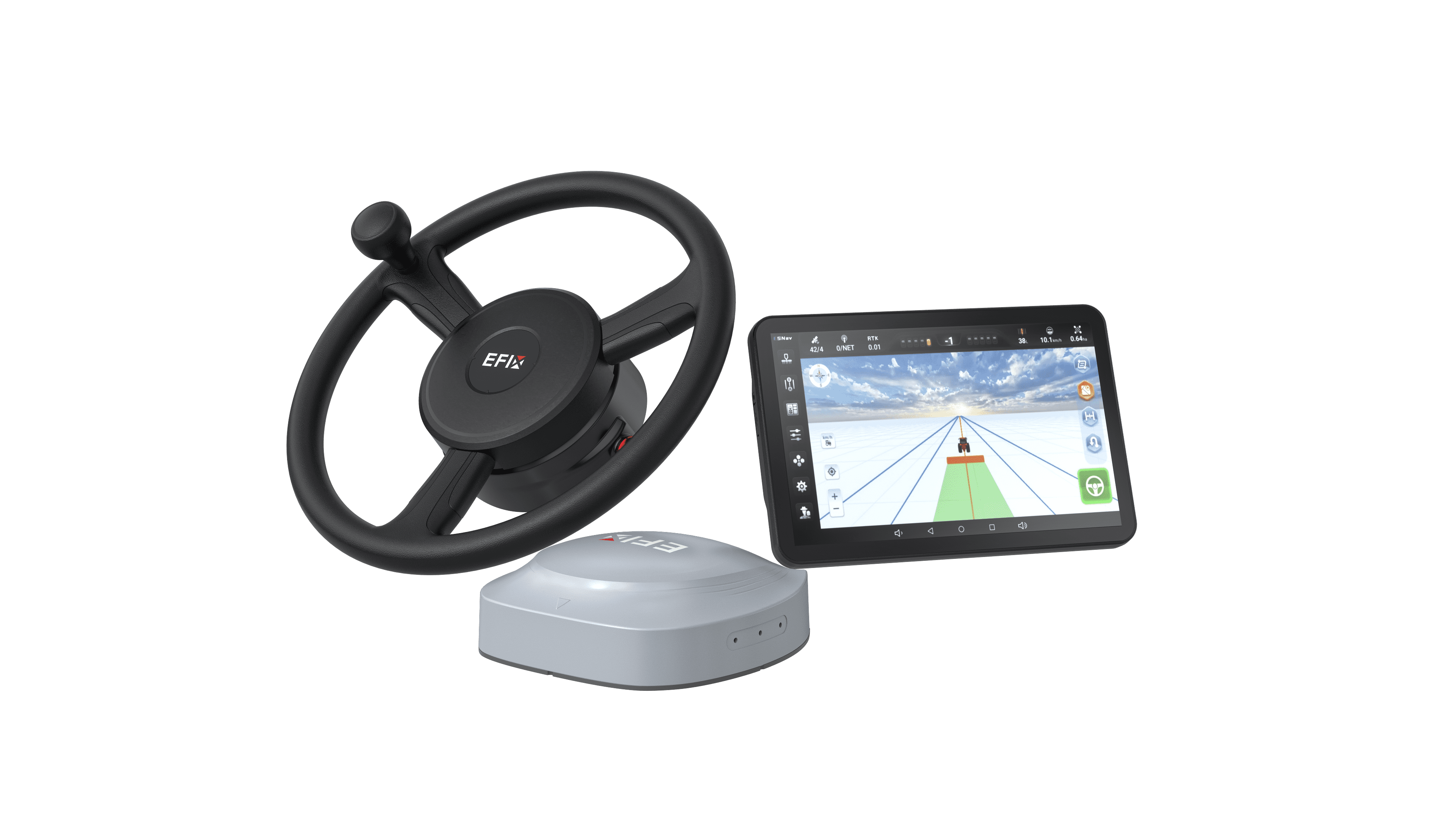
One thing we really value in the field is equipment that doesn't require a degree in computer science to operate. High-end survey receivers are now designed with built-in UHF radios and 4G modules, making them much more flexible than the old-school gear we used to carry. We find that having a web-based interface allows us to check the health of the base station right from a smartphone or the tractor cab. This connectivity ensures that the correction data flows smoothly to every rover on the farm, creating a unified network where every machine is looking at the same map with the same high level of precision.
Picking gear that can handle the stress of professional work is the first step in making sure that your farm's digital maps are solid. For basic guidance, standard receivers are fine, but they can't compare to the stability and accuracy of a base station system. We make sure that our field data stays the same from the first day of spring until the last harvest by focusing on gear that can handle multiple constellations and is tough. We at EFIX think that the only way to make sure that all of your automated tools work at their best is to start with the right parameters.