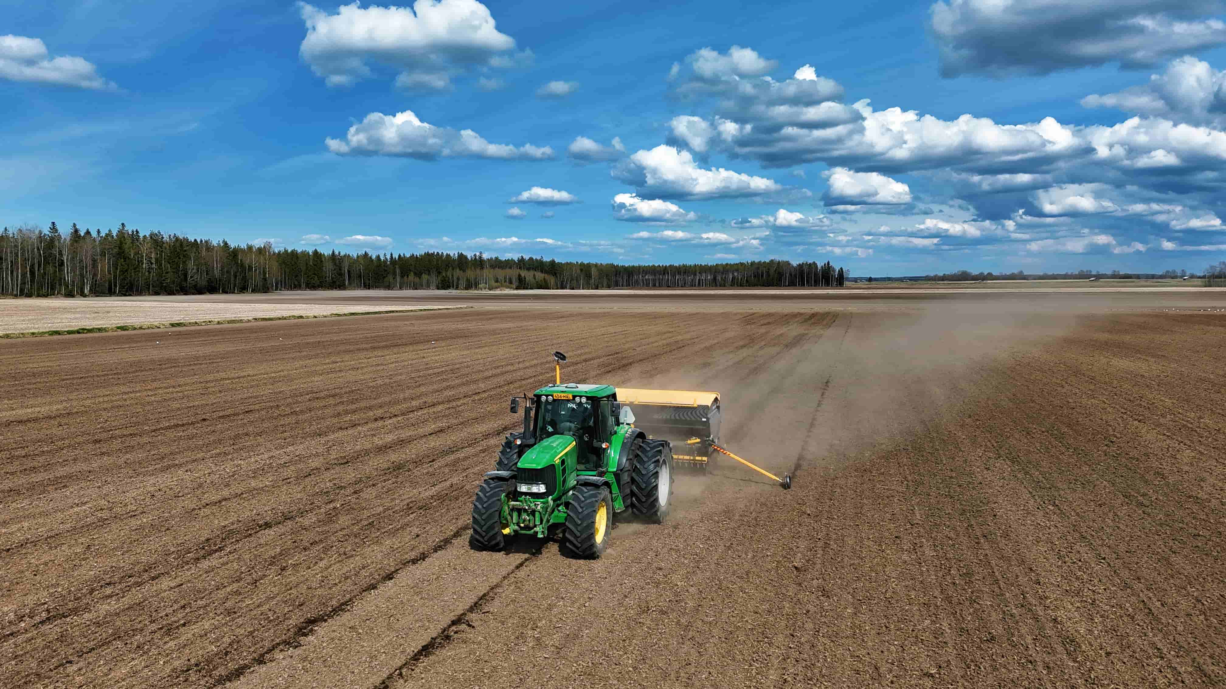
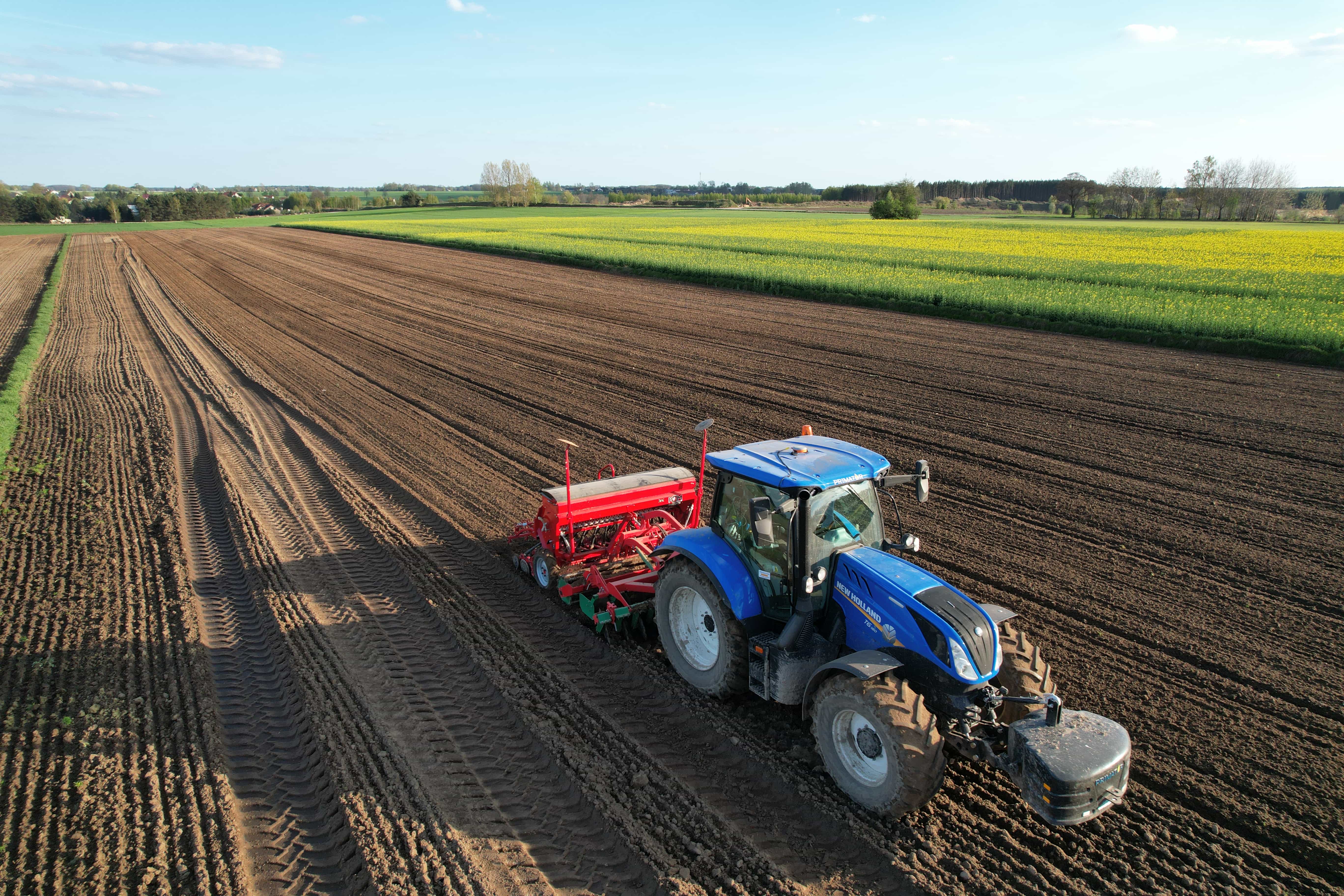
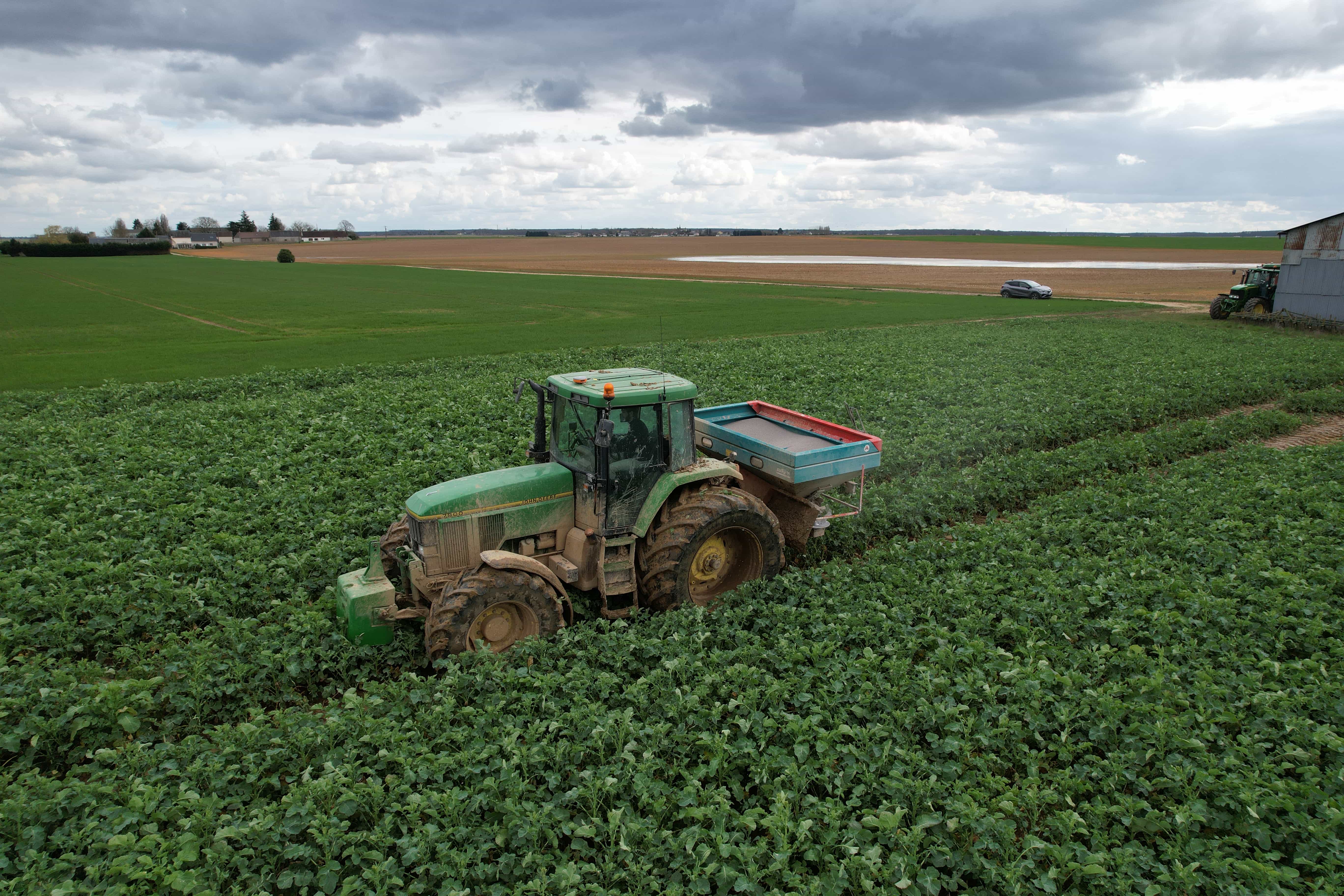
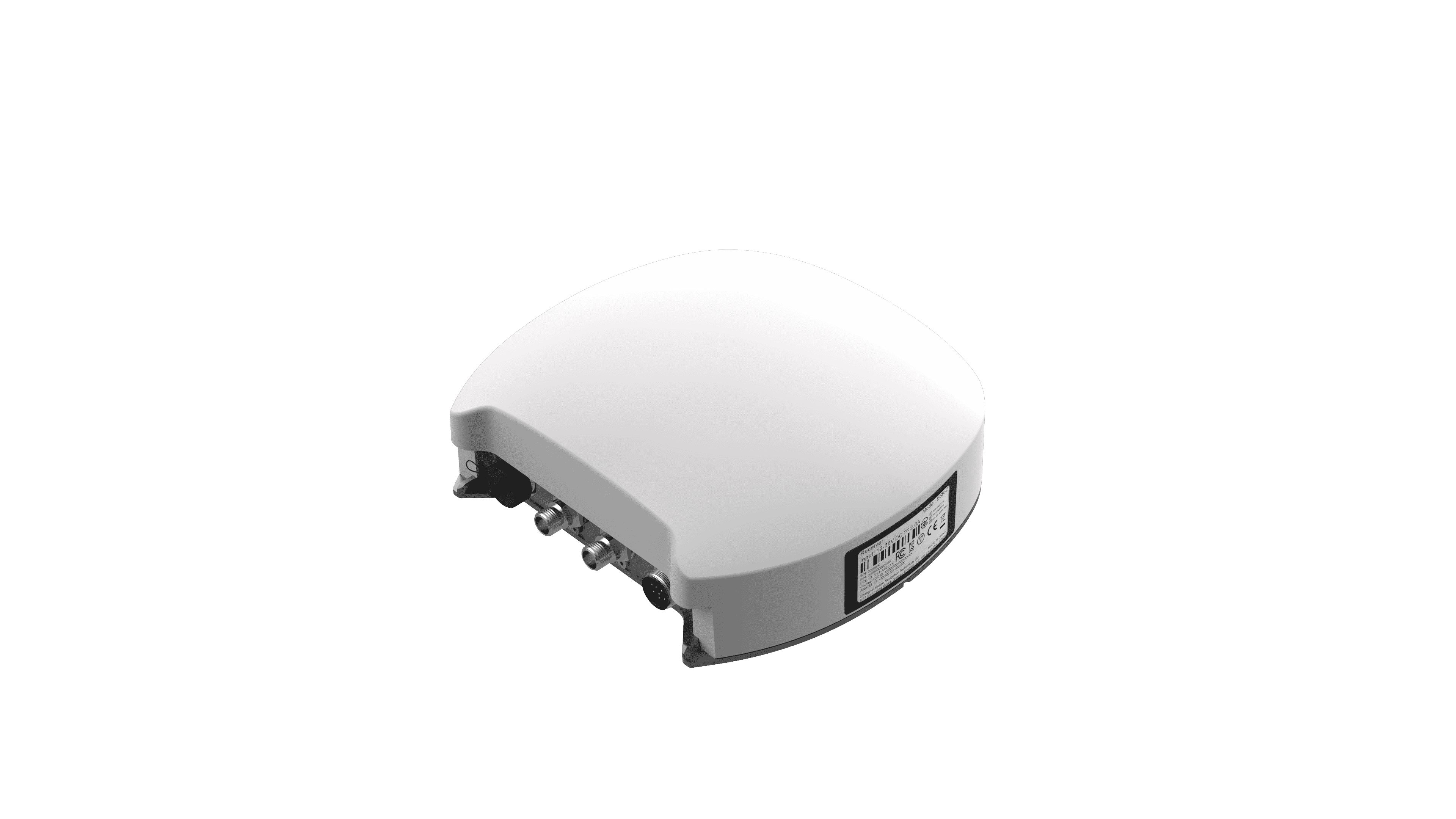
With price tags often reaching several thousand dollars, professional GNSS RTK systems represent a significant investment. But are they worth it for your farming operations? Can they truly help you overcome today’s efficiency and productivity challenges?
In this article, we are going to help farm owners and operators evaluate whether a GNSS RTK system is a financially and operationally sound investment for their specific agricultural operation.
What Is a GNSS RTK System?
To understand the value of an investment, one must first understand the technology.
GNSS in the "GNSS RTK system" expression represents the global navigation satellite system. It is the overarching term for satellite constellations such as GPS (United States), GLONASS (Russia), Galileo (Europe), and BeiDou (China).
A standard, uncorrected GNSS signal typically provides positioning accuracy within 1.5 to 10 meters. This level of error, caused by atmospheric interference, satellite clock drift, and signal multipath, is sufficient for general navigation but inadequate for precision field operations.
Then, here comes the RTK technique, the real-time kinematic. It is a correction technique that refines GNSS positioning to real-time ±2.5 cm accuracy, and there are two mainstream RTK modes:
1. Local Radio RTK (Traditional Base & Rover)
Principle:
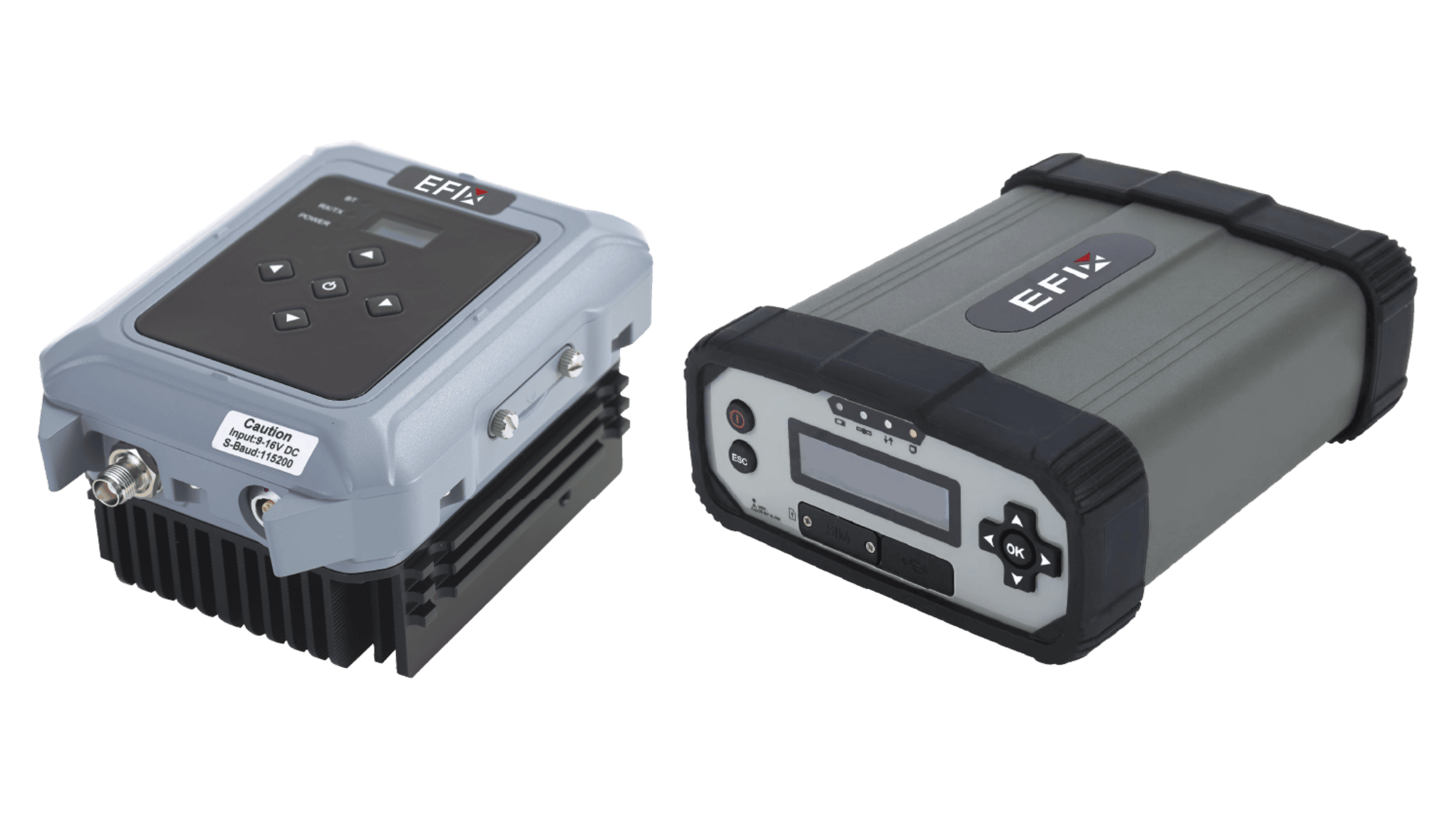
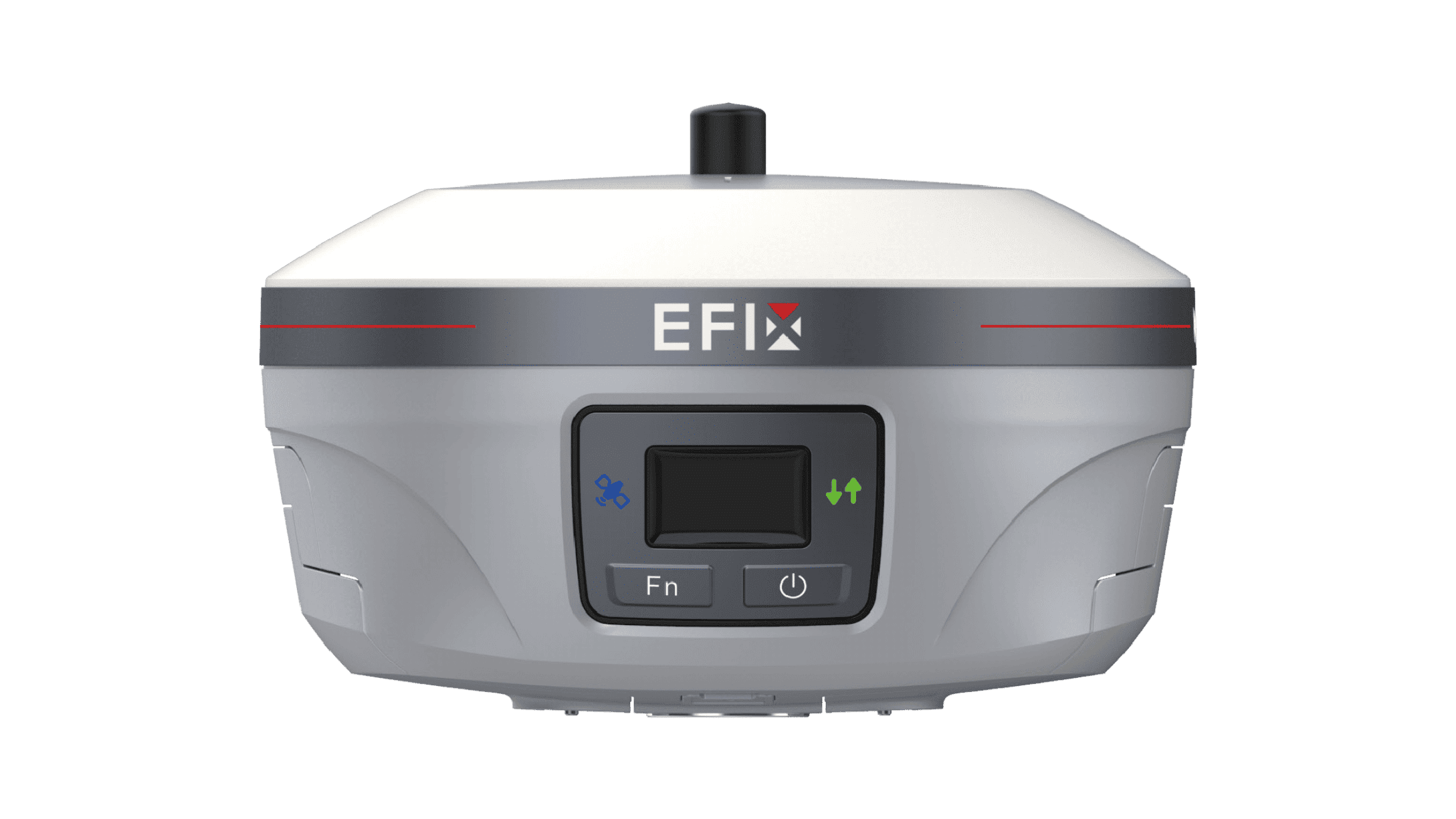
The farmer deploys their own base station and rover (e.g., a tractor or drone). The base transmits correction data via a UHF radio antenna, which is then received by the rover’s internal or external radio. The entire ecosystem is privately owned and operated.
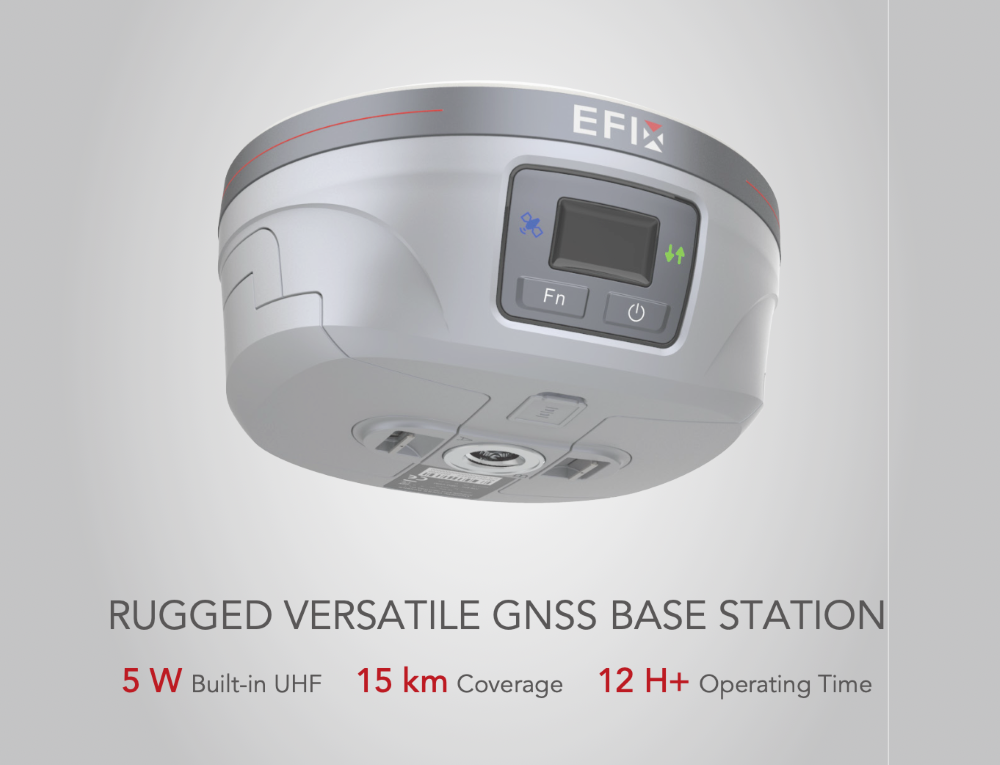
EFIX eBase provides up to 15 km of GNSS RTK operating range.
Pros:
Independent of Public Infrastructure: Does not rely on cellular networks (4G/5G), making it ideal for remote areas, deep forests, or mountainous regions.
Zero Service Fees: No need to pay for CORS subscription services.
Cons:
Range Limitations: Typically restricted to 5–15 km from the base (depending on radio power, antenna height, and terrain conditions).
Line-of-Sight Dependent: Highly susceptible to terrain obstructions (like hills and dense buildings).
Logistical Burden and High Upfront Cost: Requires transporting and setting up base equipment, adding to the overall cost.
2. Network RTK (CORS Mode)
Principle:
Farmers do not need to set up a base station. Instead, they utilize a CORS (continuously operating reference stations) network managed by government agencies or private providers. The rover sends its approximate location to a server via cellular internet (commonly NTRIP protocol). The server then calculates and transmits optimized corrections—often using VRS (virtual reference station) technology—tailored to the user’s specific position.
Pros:
Simplicity: No need to set up or calibrate a base station; "plug-and-play" efficiency.
Extended Range: Operations are not limited by distance to a physical base as long as cellular coverage is available.
Cost-Efficient: Lower upfront hardware costs.
Cons:
Network Dependency: Completely reliant on cellular signal; unusable in "dead zones" like deep canyons or uninhabited deserts.
Recurring Costs: Often requires a monthly or annual subscription fee for CORS access. Yet, free CORS networks are available in some regions. You may check local agricultural extension offices or equipment dealers for information on accessing government-funded RTK corrections.
Is a GNSS RTK System Worth the Investment?
After learning about its technology, what benefits can you get from investing in a GNSS RTK system? For many operations, the return on investment from RTK technology extends far beyond simple guidance. The value is realized through measurable gains across five key areas.
1. Reduced Input Use
Unassisted machine operation can result in 5–10% overlap in field passes. RTK guidance eliminates this by maintaining consistent pass-to-pass cm-level accuracy. When combined with section control technology, the system automatically shuts off planter or sprayer sections at headlands, irregular boundaries, or areas that have already been covered. This precision directly reduces waste of seeds, fertilizers, and crop protection products.
2. Higher Yield Gains
Precision planting supported by RTK ensures seeds are placed at consistent depths and spacings, optimizing emergence and stand uniformity. Strip-till operations guided by RTK allow fertilizers to be placed precisely where roots can access them most effectively, improving nutrient uptake.
Additionally, by confining machinery to exact paths, RTK helps prevent soil compaction in the root zone and avoids damage to emerging crops. These factors collectively support higher and more consistent yields.
3. Fuel and Labor Savings
By eliminating overlap and reducing unnecessary travel, total field time decreases significantly. This translates directly into lower fuel consumption—some documented cases show reductions of 20% or more.
RTK guidance also allows less experienced operators to work with the precision of a veteran, expanding labor flexibility. Moreover, RTK automation also accelerates tasks, cutting equipment runtime and labor costs.
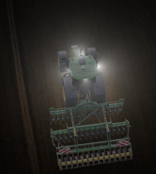
Perhaps most significantly, reliable RTK guidance reduces dependence on daylight, enabling tractors to work at night, in fog, or through dusty conditions. This all-weather capability extends operating hours while easing the labor burden on farm owners.
4. Operational Efficiency and Flexibility
One of the most cited benefits among farmers using RTK is the reduction in operator fatigue. The system handles steering, allowing the operator to focus on implement performance and field conditions. More importantly, centimeter-level guidance enables productive work during low-visibility conditions—nighttime, fog, or dust—extending the effective workday during critical planting or harvest windows.
5. Better Data and Decision-Making
RTK provides accurate spatial positioning for yield maps, soil EC scans, and elevation data. This high-quality georeferenced information allows for the creation of variable-rate prescription maps, where inputs such as seed, fertilizer, and water can be adjusted within a single field based on specific zones. Over time, this data supports more informed decisions about field management and long-term improvements.
Which Farmers Benefit Most From GNSS RTK Systems?
While RTK technology can add value to many operations, certain farming systems and conditions yield particularly high returns.
1. High-Value Row Crop Farmers
Crops such as potatoes, peanuts, cotton, and vegetables require precise planting, strip-till, and harvest operations. The ±2.5 cm accuracy of RTK prevents costly overlapping applications and reduces the risk of crop damage from misaligned passes.
2. Large-Scale Broadacre Farmers
For operations spanning thousands of acres, the cumulative savings in fuel, labor, and inputs are substantial. RTK also allows for 24-hour operation during optimal weather windows, which can be critical for timely planting and harvesting.
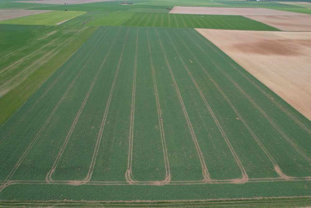
3. Farmers Practicing Controlled Traffic Farming (CTF)
Controlled traffic farming depends entirely on repeatable, year-over-year precision to confine machinery to permanent lanes. RTK provides the consistent accuracy required to keep equipment on those lanes, preserving soil structure and improving water infiltration across the rest of the field.
4. Farmers in Water-Scarcity Regions
In areas where water availability limits production, RTK enables precise installation of subsurface drip irrigation and supports variable-rate irrigation (VRI). Combined with laser-leveling guided by RTK, these techniques maximize water use efficiency and reduce runoff.
Other GNSS Correction Services and Their Accuracy Levels
While RTK GNSS accuracy reaches ±2.5 cm, RTK is not the only GNSS correction method. There are other technologies, and understanding them helps clarify why RTK is preferred for certain agricultural applications.
1. SBAS (Satellite-Based Augmentation System)
Systems like WAAS (North America) and EGNOS (Europe) provide wide-area corrections via geostationary satellites. SBAS offers instant convergence and improves standard GNSS accuracy to sub-meter levels. It is suitable for broad navigation tasks but does not achieve the centimeter-level precision required for controlled traffic or high-accuracy planting.
2. PPP (Precise Point Positioning)
PPP uses satellite orbit and clock corrections to achieve accuracy without a local base station. It requires only a single receiver, offering high scalability. However, PPP generally has a convergence time of 10 to 30 minutes, with post-convergence accuracy of the dm level (approx. 20 cm). This makes it less suitable for operations requiring immediate centimeter-level precision.
3. PPP-RTK
PPP-RTK combines the wide-area coverage of PPP with regional atmospheric corrections, significantly reducing convergence times to seconds or tens of seconds. Its accuracy can reach 2.5–10 cm, approaching that of traditional RTK. This method is particularly valuable for applications where local base station infrastructure is unavailable but rapid, high accuracy is needed.
EFIX Offers Precision GNSS Guidance Systems for Modern Agriculture
For farmers and equipment operators seeking reliable, high-performance guidance, EFIX provides solutions designed to meet the demands of modern agricultural environments.
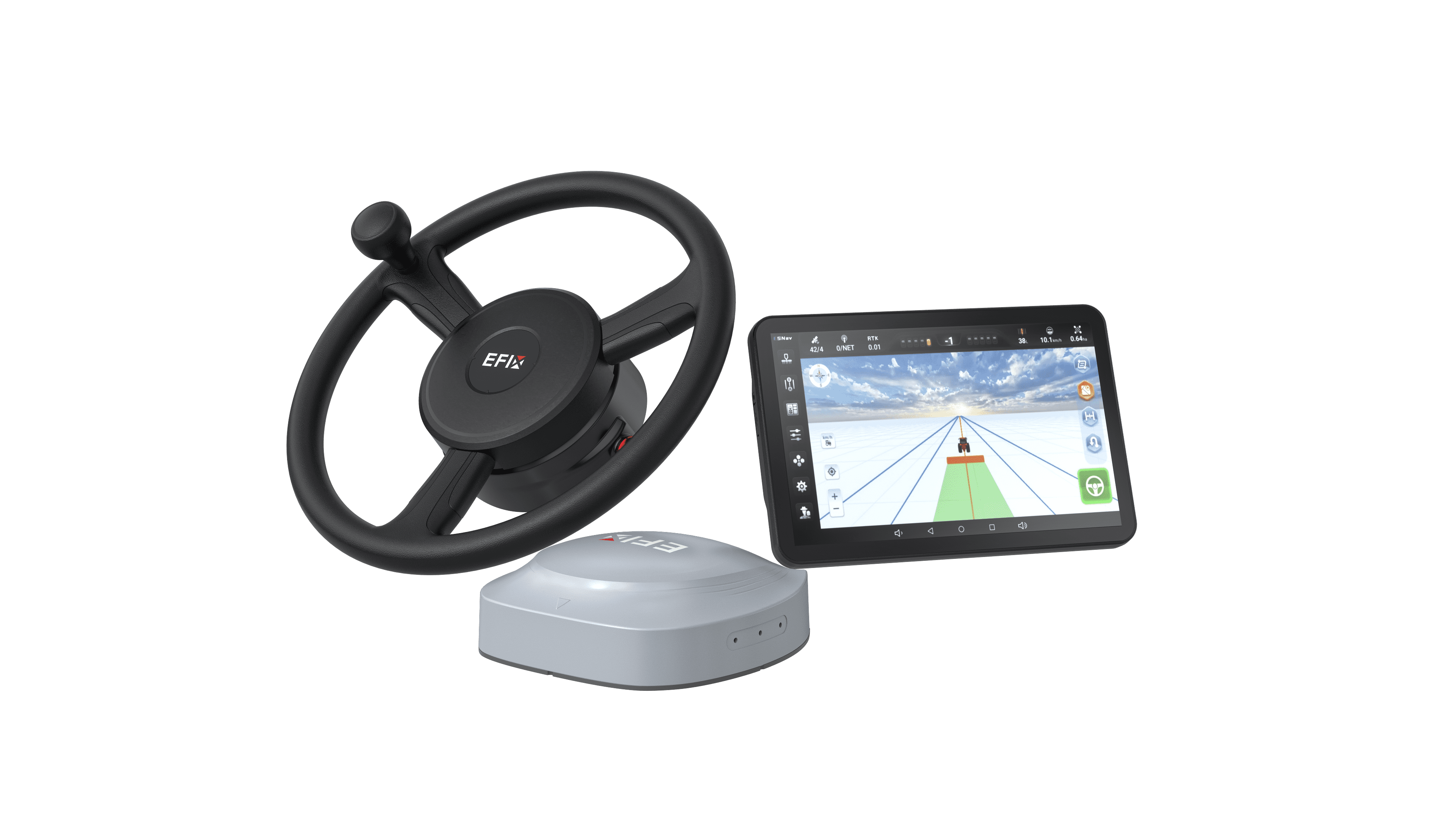
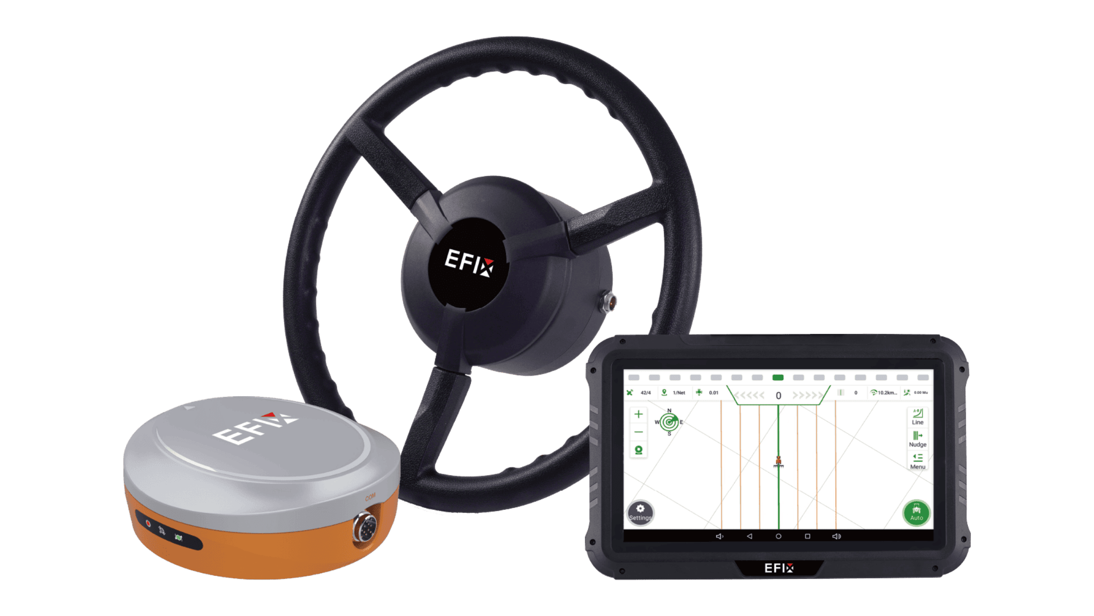
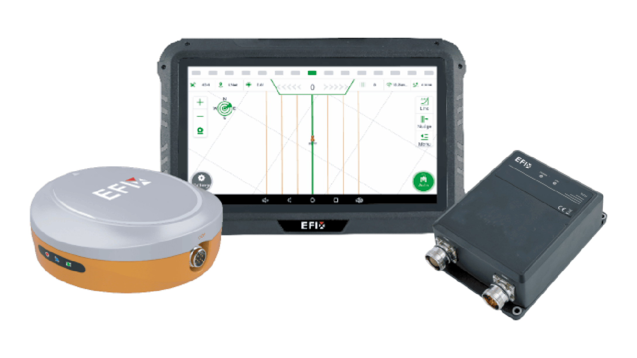
The eSteer20 Max auto steering system is a notable example. The automated steering and guidance system achieves high precision—up to ±2.5 cm—over an operating speed range of 0.1 to 30 km/h. This high accuracy level makes it suitable for diverse tasks, including planting, spraying, and tillage.
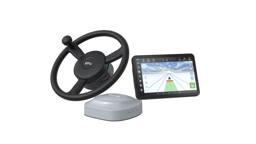
A key feature of the eSteer 20 Max is its support for multiple GNSS correction modes. In addition to traditional RTK, it is also compatible with H-PPP (Galileo E6-HAS) and EFIX-PPP satellite correction (PointSky) services. These options allow operators to maintain high accuracy even in remote areas without cellular network coverage, with convergence times under 5 minutes for EFIX-PPP-based modes.
The system is equipped with a 12.1-inch industrial-grade terminal (750 nits brightness) that is fully AEF-certified for ISOBOS compatibility. This enables single-screen control of various implement functions, including UT (Universal Terminal), AUX-N, TC-BAS, TC-SC (section control), and TC-GEO (variable rate application). Operators can manage prescription maps and control different brands of ISOBOS implements from a unified interface.
Furthermore, the path planning options include AB lines, A+ lines, curves, and custom headland patterns, with automated turn features that reduce operator workload. The inclusion of four-channel camera support provides enhanced visibility for implement guidance and row-crop work.
Conclusion
Whether a GNSS RTK system is worth your investment ultimately depends on your specific operation, cropping system, and long-term goals. For many farms, the combination of input savings, yield improvements, and operational flexibility makes an RTK auto-steer system a well-justified investment.
With options like the eSteer20 Max and its support for both RTK and satellite-based correction services, EFIX offers adaptable solutions that can meet the precision needs of diverse agricultural enterprises.
To learn more about EFIX and our full range of precision guidance products, visit our website or contact our team for details tailored to your operation!
Relevant information:
1. https://spacefinland.fi/en/accuracy-of-gnss-location-data
2. https://www.euspa.europa.eu/eu-space-programme/egnos/what-sbas