Let's examine the technology that allows farmers to work their fields with new precision. Agricultural GPS guidance systems are tools that use satellite signals to direct machinery with accuracy. This method moves beyond simple straight lines, creating a framework for efficient field management. At Efix, we see these systems as foundational components for contemporary operations.

The Core Technology Behind Precision Steering
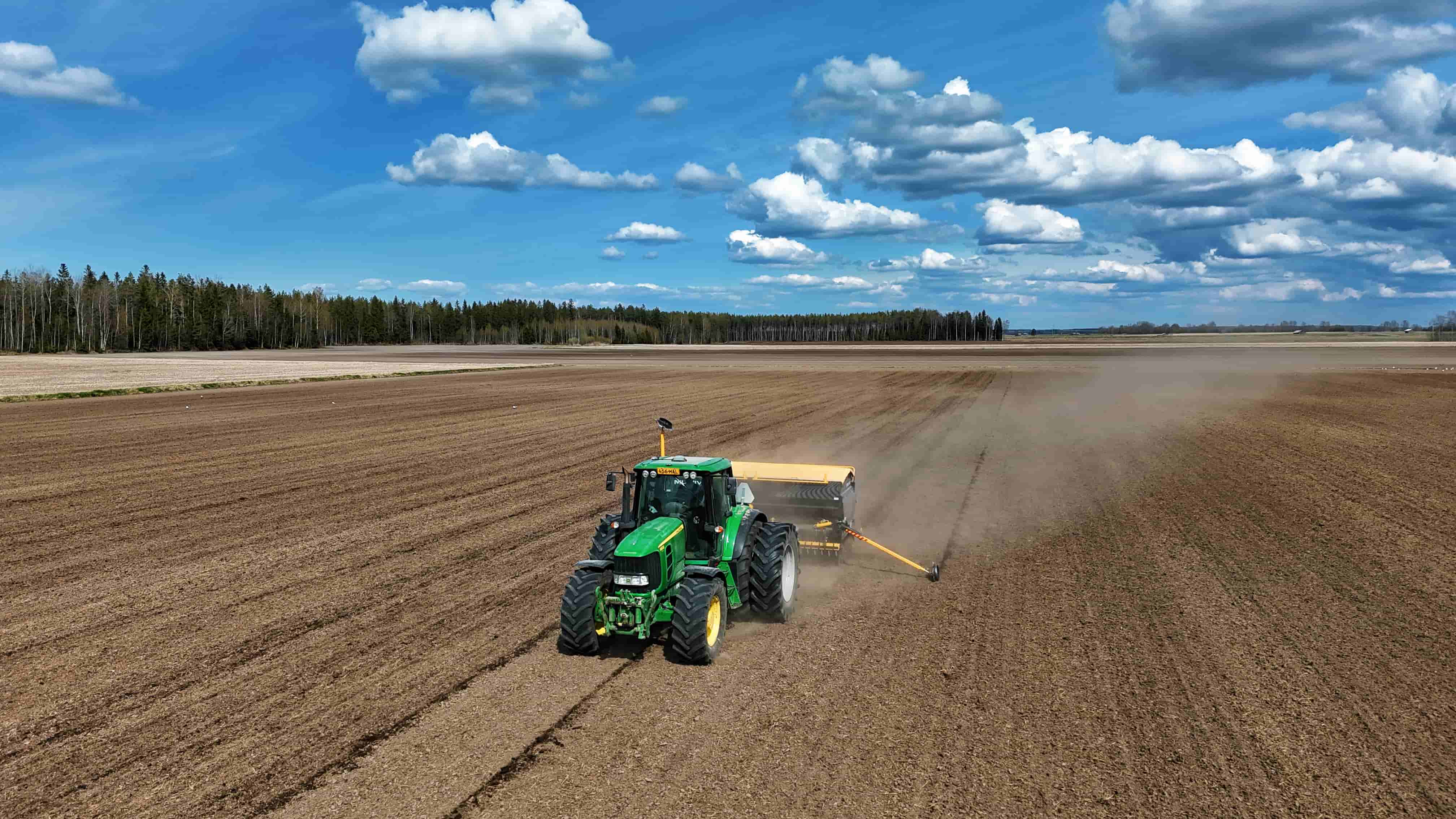
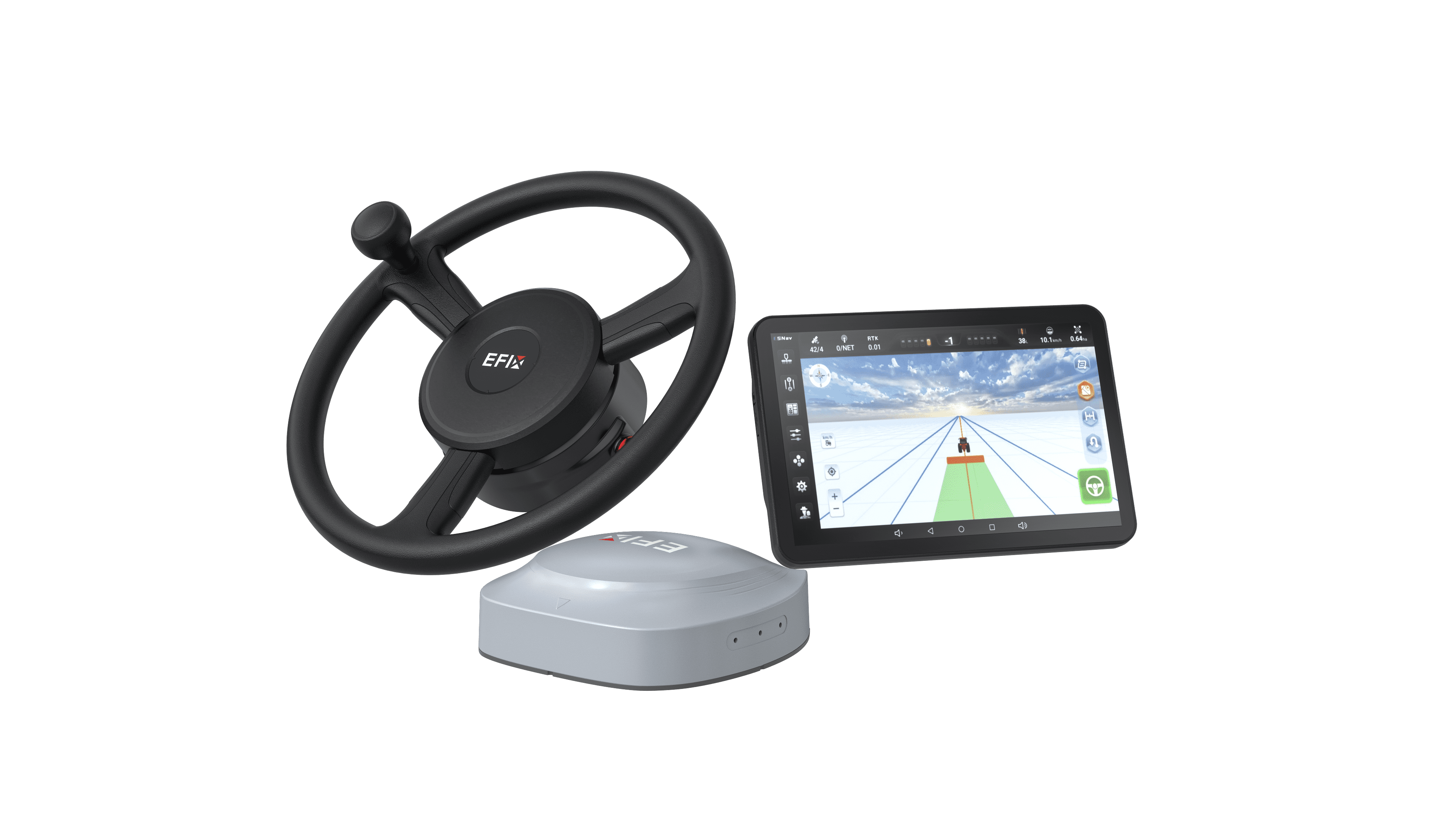
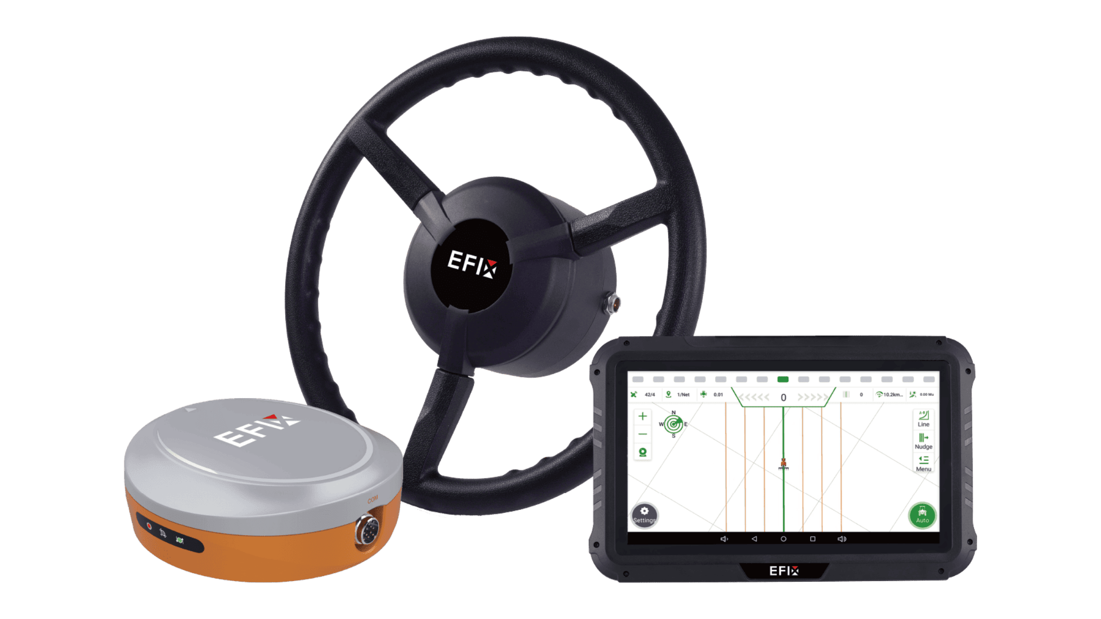
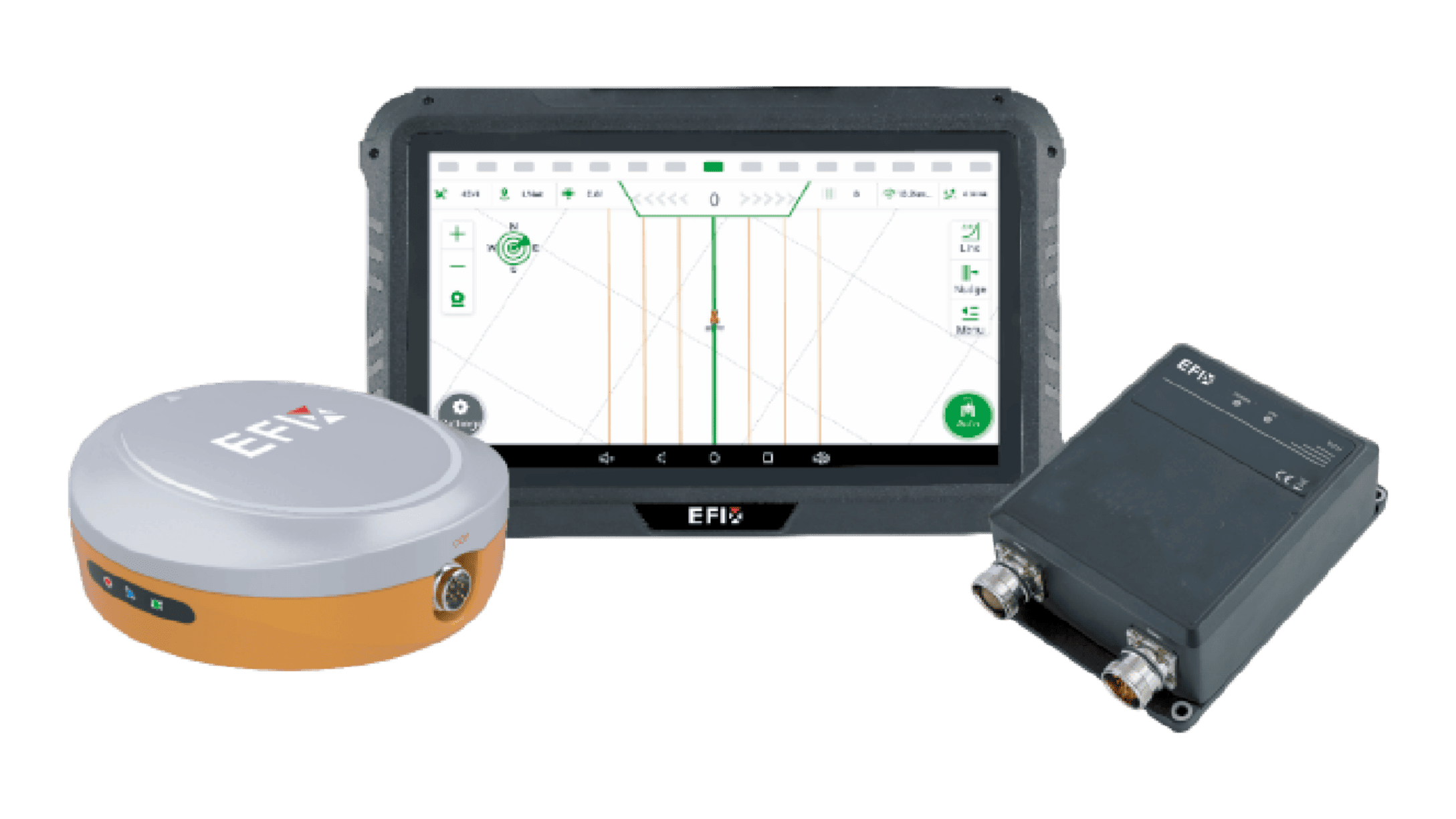
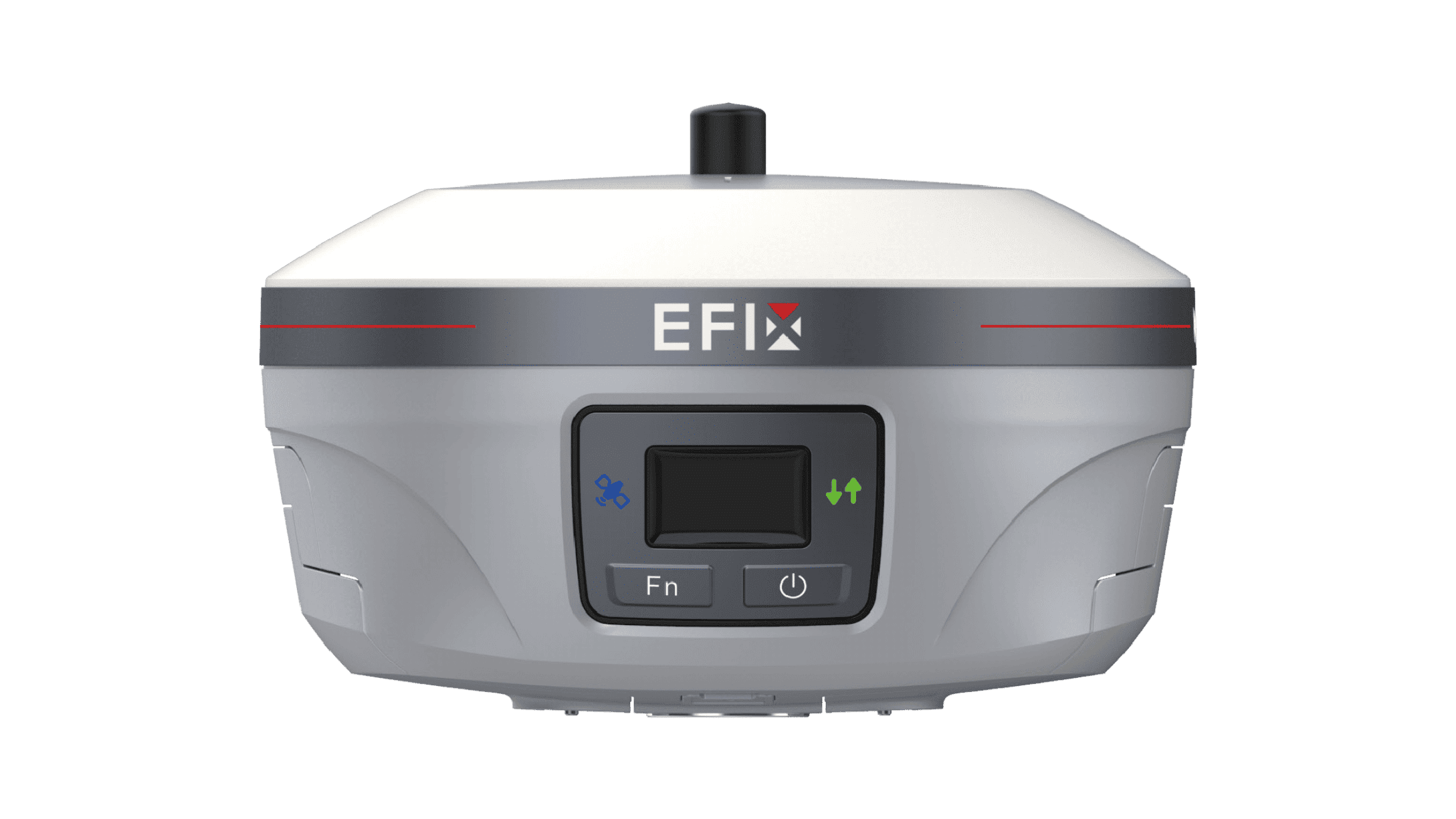
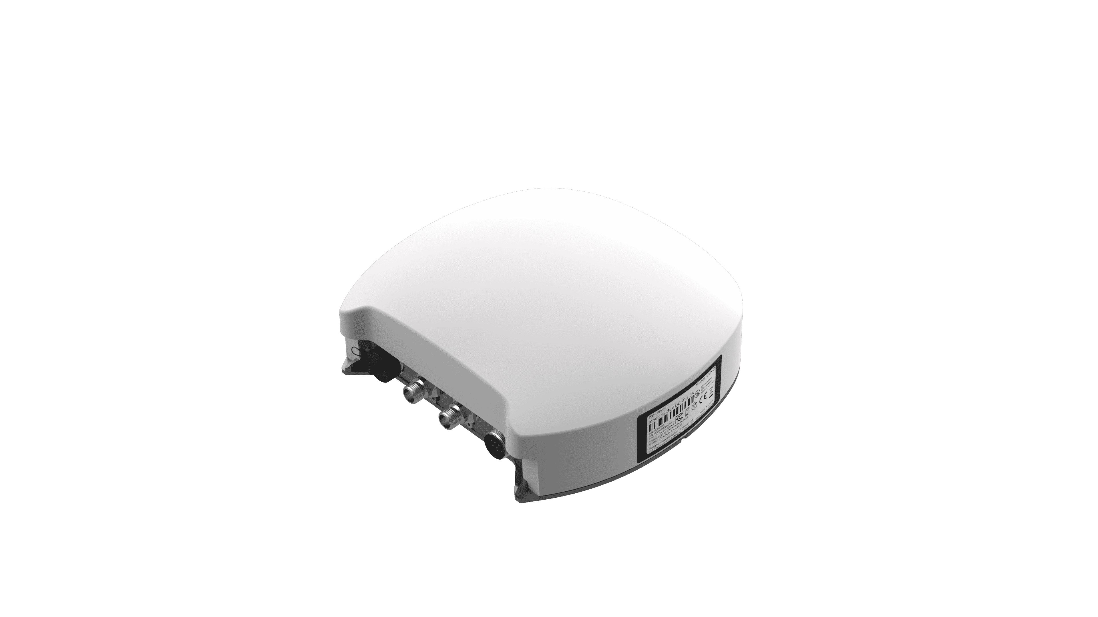
The operation of agricultural GPS guidance systems centers on receiving signals from a satellite constellation. Receivers on farm equipment calculate position by measuring the time it takes for signals to arrive. This establishes real-time location data. More advanced systems use correction signals to improve positional accuracy down to the centimeter range. This precise geolocation is the primary data point that enables automated steering, allowing machinery to follow a pre-defined path with minimal overlap or missed areas. The result is a direct application of geospatial science to the task of driving across a field.
Practical Outcomes for Field Operations
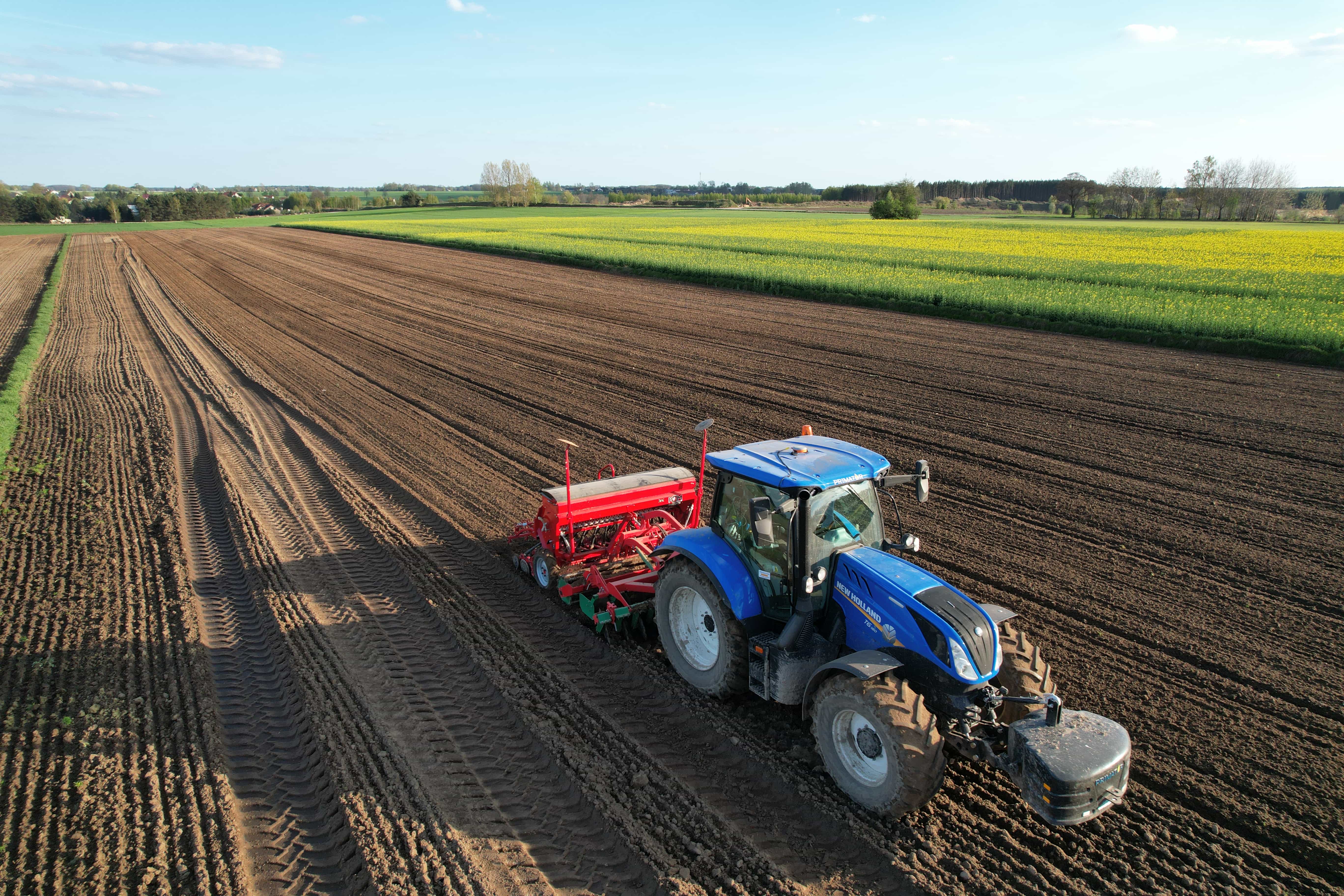
Integrating these systems brings several concrete advantages to daily work. A primary benefit is the reduction of input overlap during tasks like seeding, spraying, and fertilizing. By following consistent paths, operators can avoid applying product where it has already been placed, which supports resource management. Furthermore, the automation of steering reduces operator fatigue, allowing for greater focus on monitoring implement performance. This consistency in machine operation also contributes to more uniform crop establishment, which can influence harvestability. The data collected during passes creates a record of field activity, forming a basis for further analysis.
Important Factors for Effective Implementation
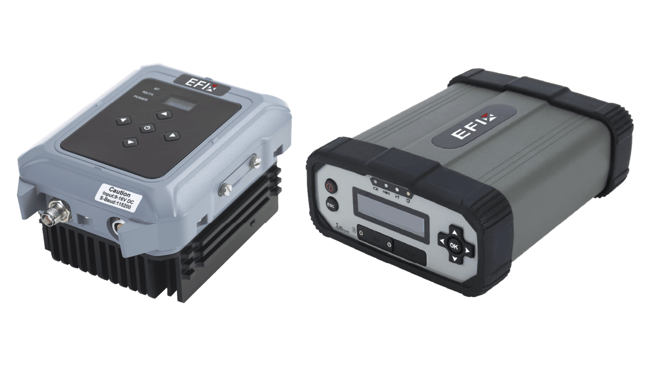
Success with this technology involves considering a few key elements. Signal reliability is paramount; understanding the coverage and required accuracy for different tasks guides system selection. The compatibility of the agricultural GPS guidance systems with existing machinery is another practical point, involving displays, receivers, and hydraulic steering components. Operator training is also essential, as effective use requires an understanding of creating guidance lines, contour following, and managing field boundaries. The decision should align with the specific scale and cropping practices of the operation to ensure the technology addresses actual challenges.
Adopting GPS-based guidance is a step toward methodical field management. It provides a tangible way to increase the repeatability and accuracy of machine movement, which influences input use and operational planning. The value comes from leveraging detailed positional data to inform the mechanics of fieldwork.
For farms interested in the measured application of this technology, our team at Efix provides information on system options and integration support. We focus on connecting the functional capabilities of guidance with the specific objectives of your operation.