Modern farming relies heavily on spatial positioning to optimize daily field operations. At the heart of this operational evolution is the integration of GPS in agriculture, which works alongside broader Global Navigation Satellite Systems (GNSS) to deliver real-time location tracking across farms worldwide. As a foundational technology within precision agriculture, satellite navigation enables machinery to operate with exceptional consistency.
This guide explores how satellite positioning functions on the farm, its practical applications, and how varying accuracy levels match specific field tasks.

How Is GPS/GNSS Used in Agriculture? How Accurate Can It Be?
To understand how satellite navigation operates on the farm, it is helpful to distinguish between basic signals and corrected positioning. When evaluating GPS in agriculture, the term "GPS" refers specifically to the United States Navstar satellite network, whereas "GNSS" is the umbrella term covering all global constellation systems, including GPS, GLONASS, Galileo, and BeiDou.
1. The Basic Mechanism: Satellite to Tractor
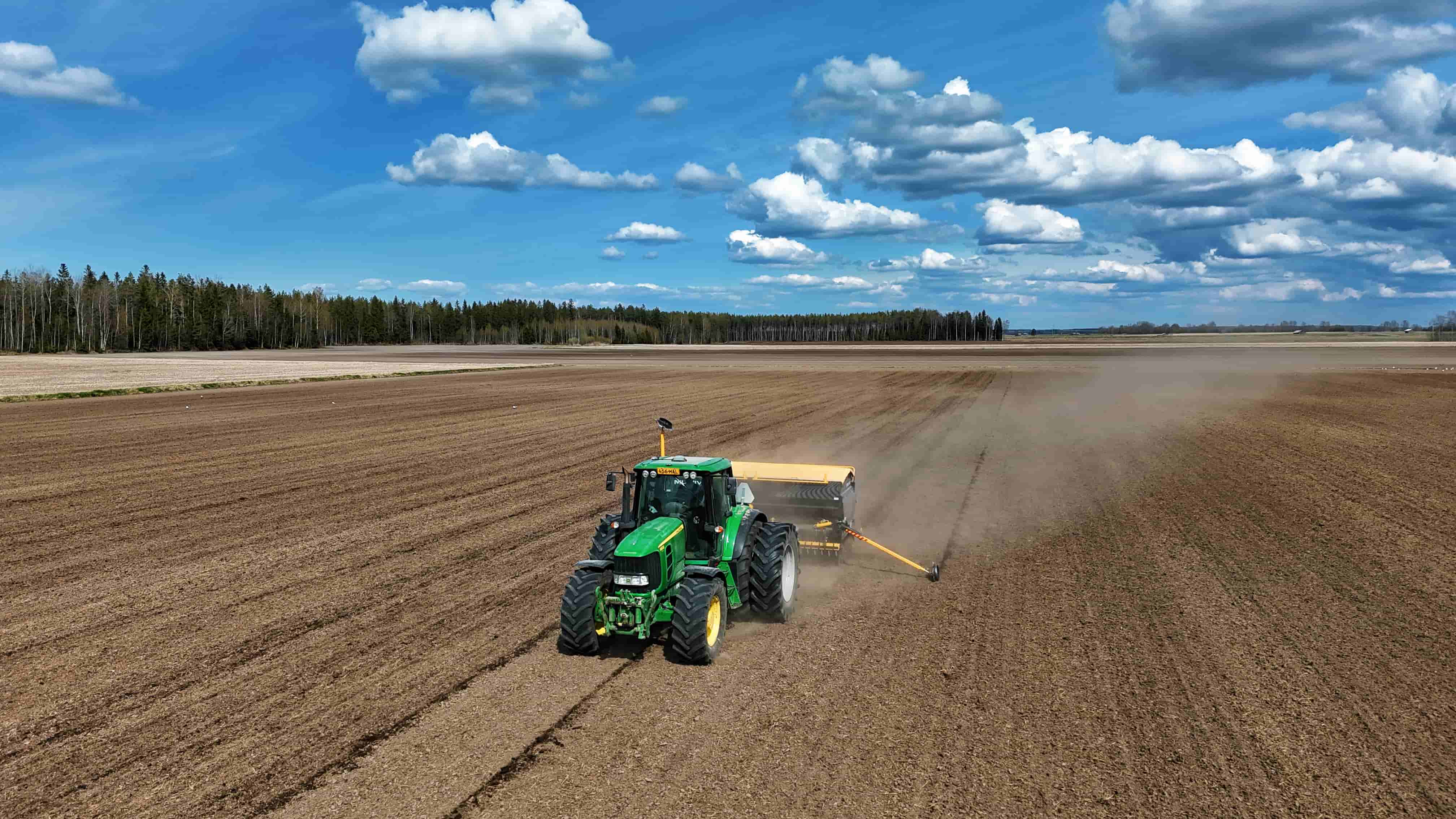
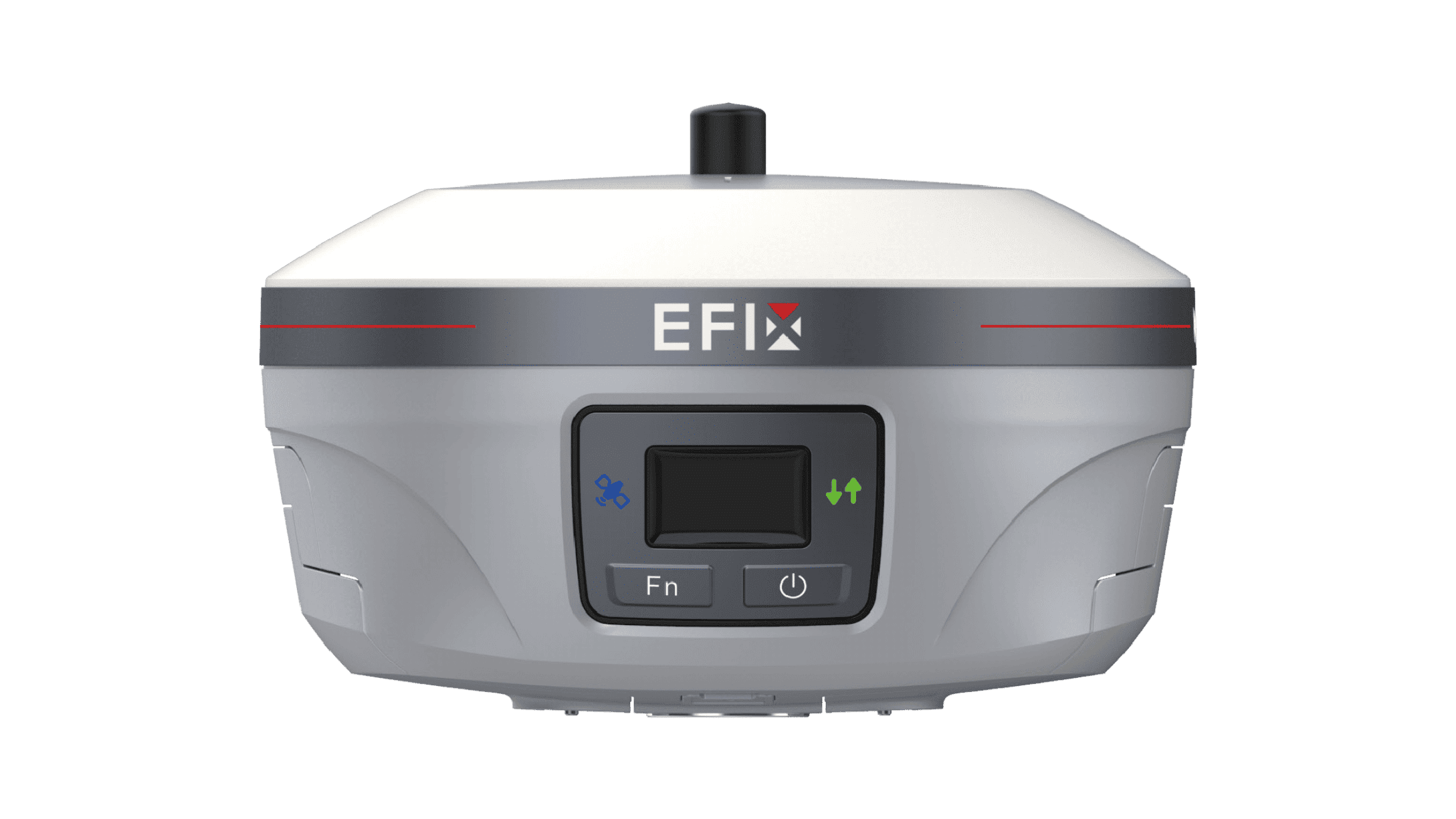
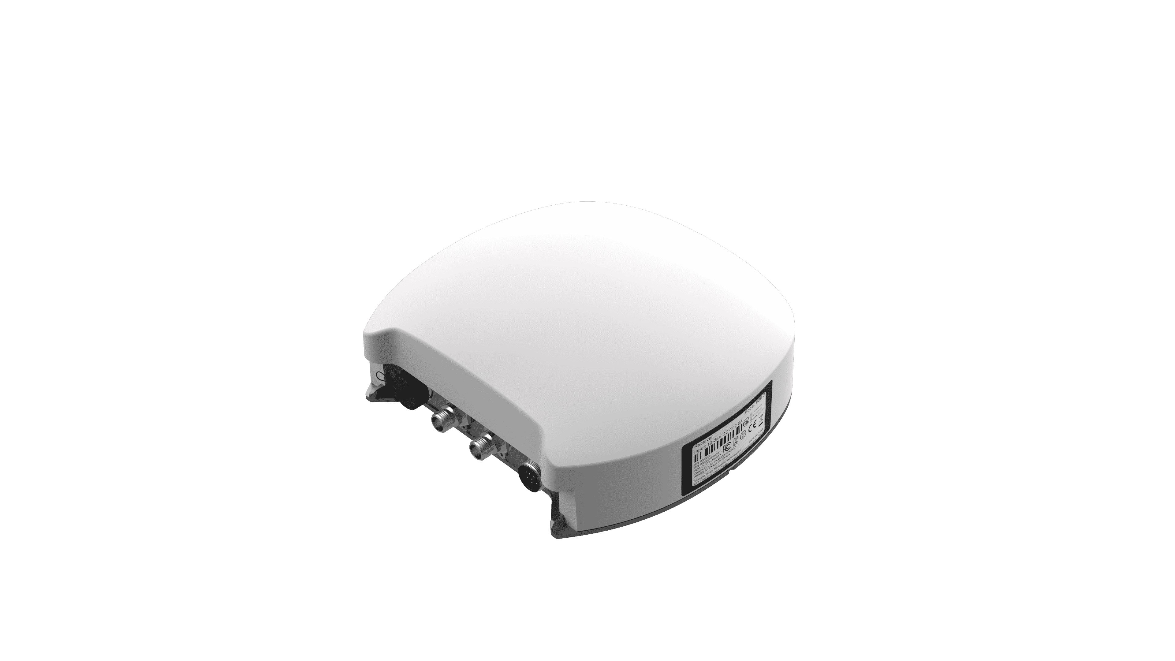
Agricultural machinery, such as tractors, is outfitted with a specialized GNSS receiver and an antenna mounted high on the cab or vehicle midline. This position gives the receiver an unobstructed view of the sky.
•Signal Reception: The antenna continually receives timing and orbital data broadcast by multiple satellites.
•Position Calculation: By measuring the precise time a signal takes to travel from a satellite to the receiver, the system uses trilateration to calculate its three-dimensional location multiple times per second.
•Software Guidance & Data Tagging: Integrated guidance or farm management software uses these real-time coordinates to steer equipment along pre-planned paths or geotag operational data—such as soil sample locations or yield metrics—creating spatially accurate field records.
2. The Role of Position Corrections
Uncorrected, raw GNSS signals are subject to atmospheric delays, orbital clock drift, and satellite location variations. Consequently, standard standalone GNSS position accuracy generally ranges between 1 and 3 meters. While sufficient for basic mapping, meter-level deviation is too broad for tight field passes.
To achieve greater precision, modern GNSS (including GPS) and agriculture workflows rely on differential correction systems that refine raw satellite data down to decimeter or centimeter accuracy:
•Satellite-Based Augmentation Systems (SBAS): Free regional correction signals broadcast via geostationary satellites (such as WAAS in North America or EGNOS in Europe). SBAS typically delivers sub-meter accuracy, which works well for large-scale tilling and basic mapping.
•Paid Subscription Services: Commercial satellite- or cellular-delivered correction feeds (including PPP and PPP-RTK services). These subscription models offer decimeter-to-sub-decimeter positioning without requiring local base stations on the property.
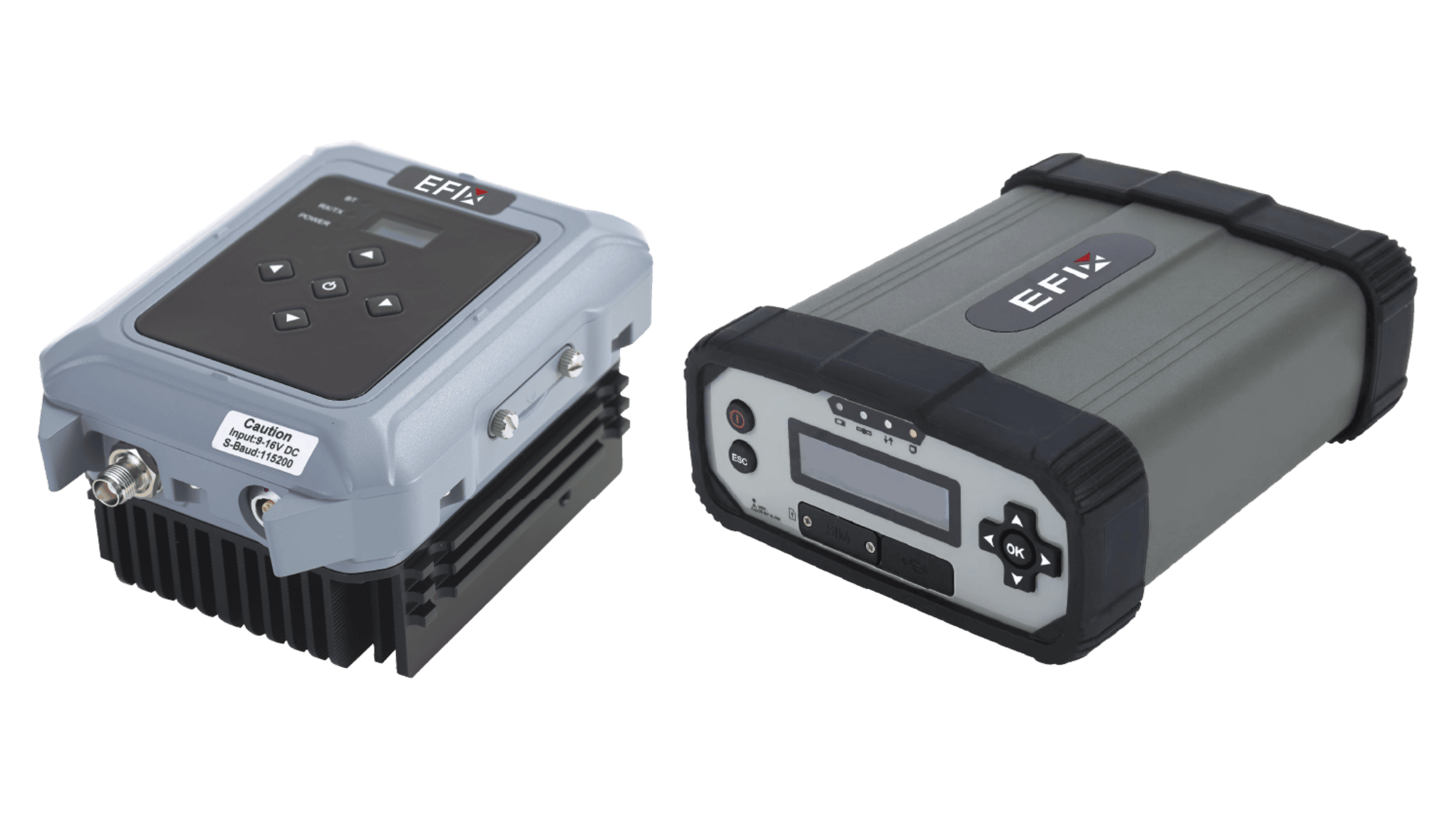
•Real-Time Kinematic (RTK): RTK utilizes a stationary local base station at a fixed, known location or a networked base station array. By comparing the base station's known physical coordinates with incoming satellite signals, real-time corrections are transmitted to the field machine via radio or internet. RTK yields pass-to-pass accuracy of approximately ±2.5 centimeters, making it the benchmark for high-precision operations.
7 Key Uses of GPS/GNSS in Agriculture
1. Field Mapping and Farm Planning
One of the most accessible uses of GPS in agriculture is field mapping. GNSS can record field boundaries, roads, irrigation infrastructure, and locations that require attention. Soil sampling or crop scouting data can also be tagged with coordinates, making it easier to return to the same locations or compare conditions over time.
Guidance systems show operators where to steer relative to an AB line, curve, or other planned path. Auto-steering goes a step further by controlling the steering system so that the tractor follows that path automatically.
With suitable correction, auto-steering can help reduce overlaps and skips between passes. It can also support consistent operation in dust, darkness, or other conditions where visual references are difficult to follow.
3. Precision Seeding and Planting
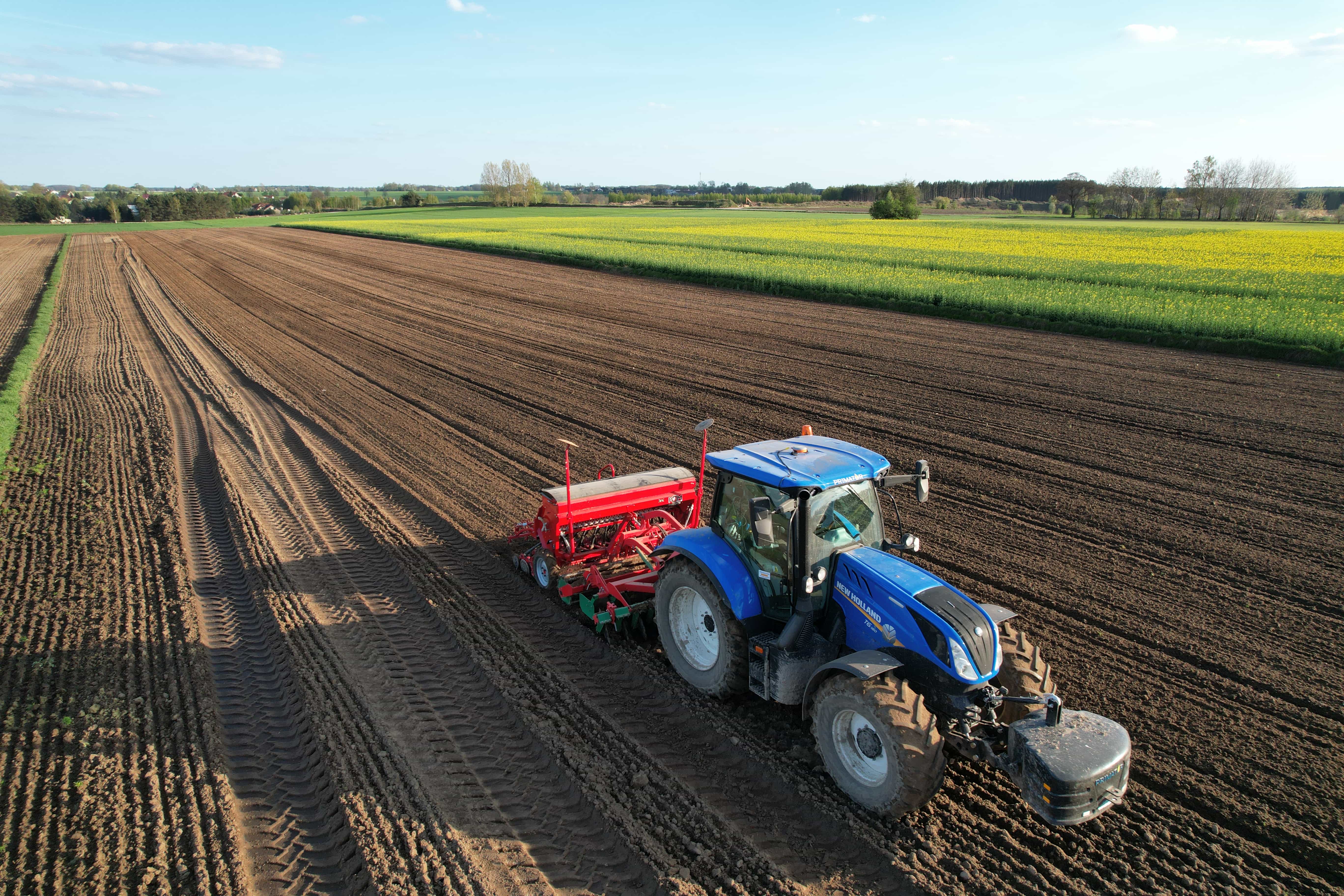
Accurate positioning helps the tractor and planter follow consistent passes, while compatible planter controls can use location information for functions such as automatic section shutoff. Avoiding unnecessary double planting at headlands and previously covered areas can improve operational consistency.
GNSS can connect a machine's current location with a prescription map. As the tractor moves through different management zones, compatible controllers can adjust application rates for seed, fertilizer, or other inputs according to the prescription. The purpose is not simply to apply less input everywhere, but to apply a planned rate according to the needs assigned to each zone.
5. Spraying, Spreading, and Section Control
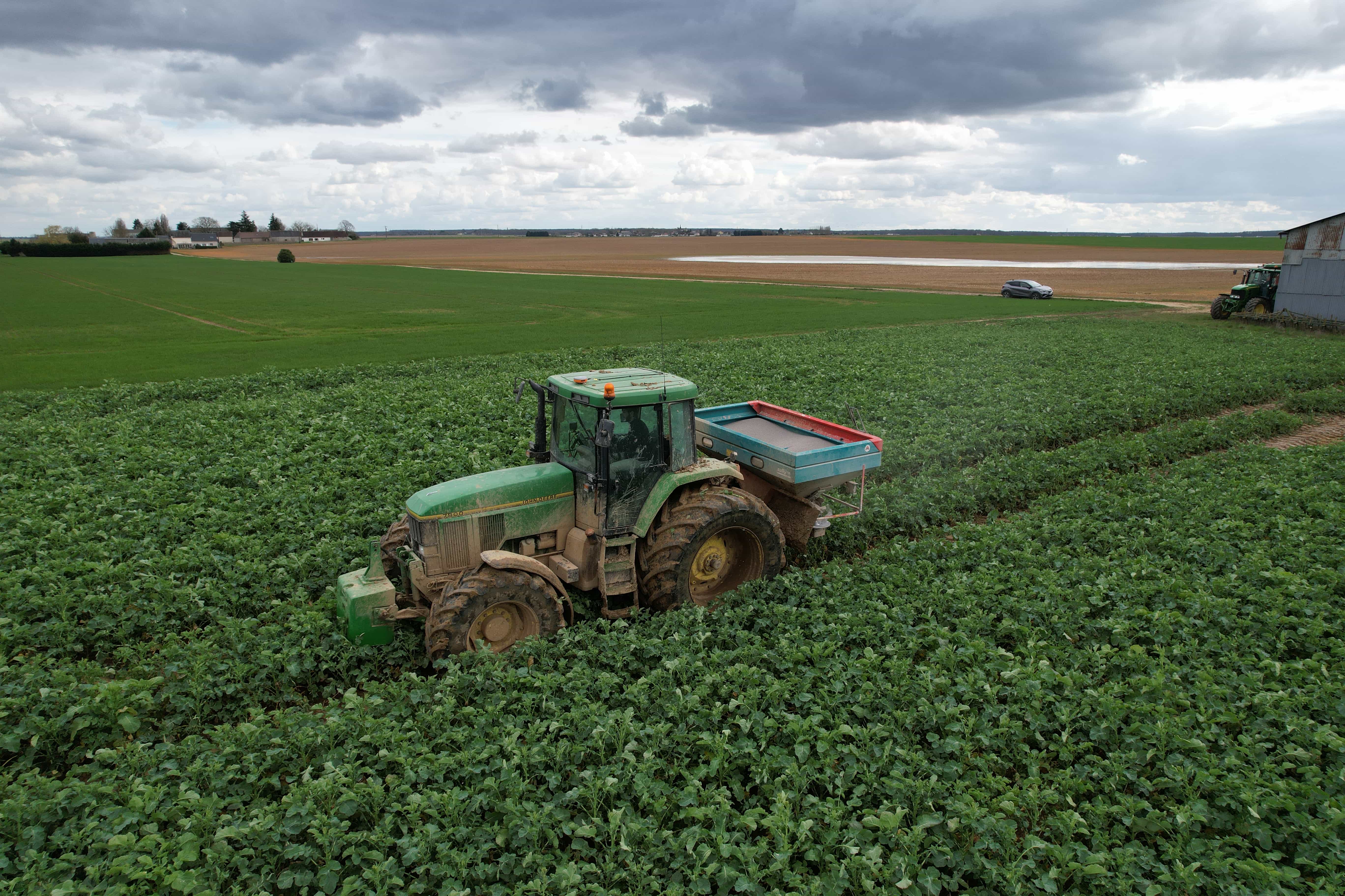
Sprayers and spreaders can use GNSS to determine whether individual sections are entering an untreated or previously treated part of the field. With compatible section-control equipment, sections can switch on or off automatically around headlands, boundaries, and overlaps. Utilizing GNSS in agriculture for field navigation is specifically associated with reducing redundant applications and skipped areas.
6. Harvesting, Yield Monitoring, and Data Collection
During harvest, position information can be combined with measurements from a compatible yield-monitoring system to create spatial yield maps. These maps help show how crop performance varies across a field. When compared with soil maps, elevation, application records, and other data, they can support better-informed management decisions for later seasons.
7. Drones, Robots, and Autonomous Equipment
GNSS is also used on agricultural drones, robotic platforms, and increasingly automated machinery. A drone may use satellite navigation for flight positioning and georeferencing imagery, while an autonomous ground machine may combine GNSS with cameras, inertial sensors, obstacle detection, and other sensing technologies.
Factors That Affect GPS/GNSS Accuracy on the Farm
Even high-end positioning hardware can experience accuracy variations due to external variables. Maintaining consistent precision requires an understanding of these contributing factors:
•Satellite Constellation and Geometry: A receiver requires signals from at least four satellites to compute a 3D position. Accessing multi-constellation networks increases signal availability, particularly when obstructions block part of the horizon.
•Antenna Quality and Physical Placement: The antenna should be mounted firmly on the machine's centerline at a high point with an unobstructed line of sight to the sky. While high mounting improves sky visibility, steep slopes can introduce cabin roll.
•Correction Signal Reliability: RTK, satellite-based corrections and network corrections rely on correction data reaching the receiver. Loss of radio, cellular, satellite or other required links can affect the positioning mode or accuracy available.
•Local Environmental Conditions: Trees, buildings and terrain can block or reflect satellite signals. Severe ionospheric disturbances driven by solar activity can also distort signal travel times through the upper atmosphere.
•Machine Calibration and Physical Offsets: Machine configuration and calibration also affect GNSS accuracy in field operations. Incorrect implement offsets, vehicle dimensions, antenna height, or steering settings can create positioning errors. Wheel slip and inaccurate measurements may reduce guidance performance, even when the GNSS signal itself provides high precision.
Matching GPS/GNSS Accuracy to the Farm Task
Not every field application requires centimeter-level precision. Choosing the appropriate accuracy tier helps farm operators align technology costs with practical farming needs.
| Accuracy Tier | Typical Pass-to-Pass Accuracy | Primary Correction Source | Recommended Farm Applications |
|---|
| Meter Level | 1 m to 3 m | Uncorrected Autonomous GNSS | Basic field boundary mapping, soil sampling tagging, general scouting, simple fleet tracking |
| Decimeter-to-Meter Level | Around 1 m | SBAS (such as WAAS and EGNOS) | Primary tillage, discing, broad-acre fertilizer spreading, pasture maintenance |
| Centimeter-to-Decimeter Level | ±2.5 cm to around 10 cm | Paid PPP Services and Free PPP Services (such as BeiDou's B2b and Galileo's HAS) | Commercial grain spraying, top-dressing, haying, harvesting, general mapping |
| Centimeter Level | ±2.5 cm | Local RTK Base, Network RTK, Advanced PPP | Precision row-crop planting, strip-till, inter-row cultivation, drip tape installation, Controlled Traffic Farming (CTF), automatic section control |
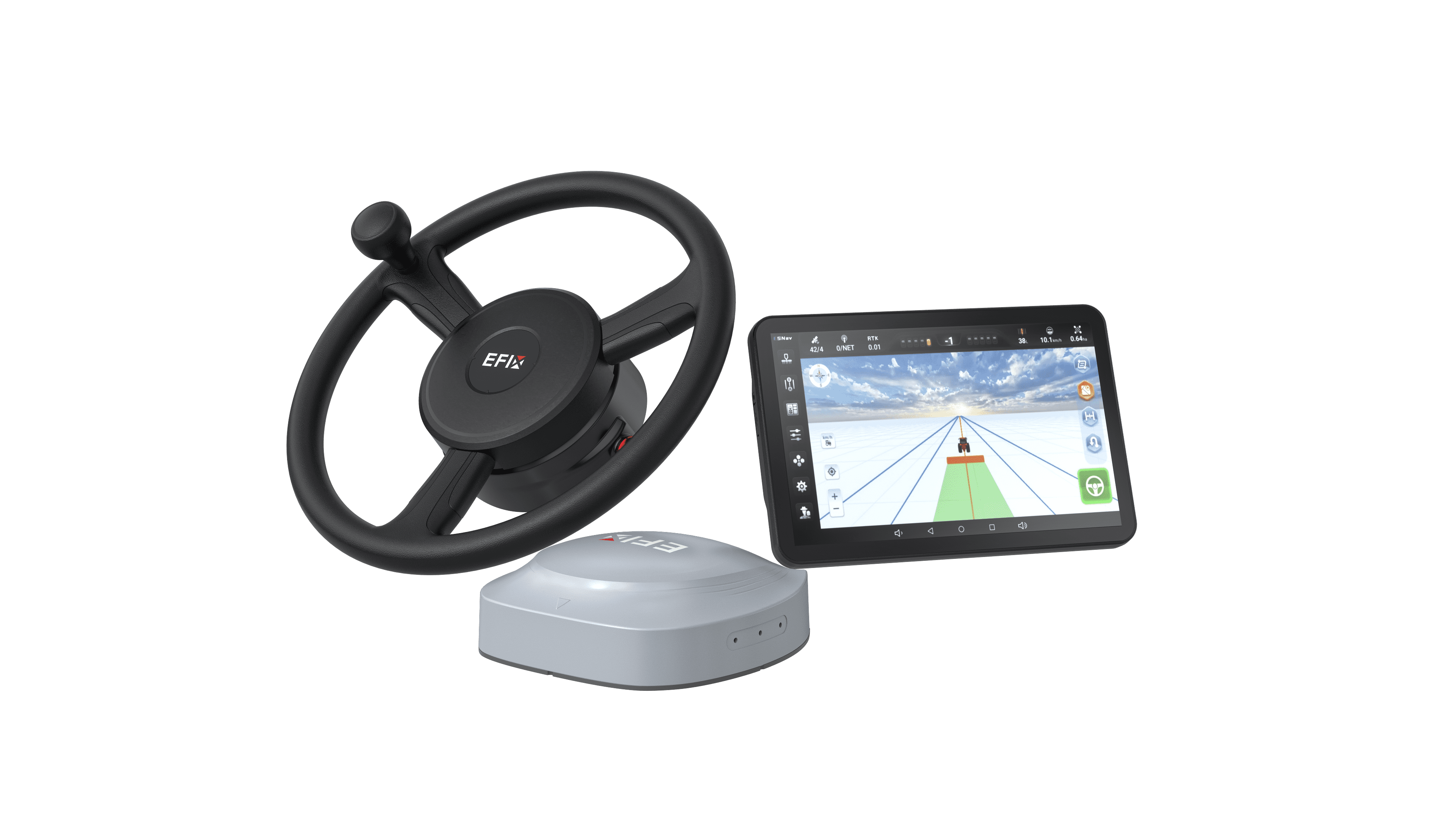
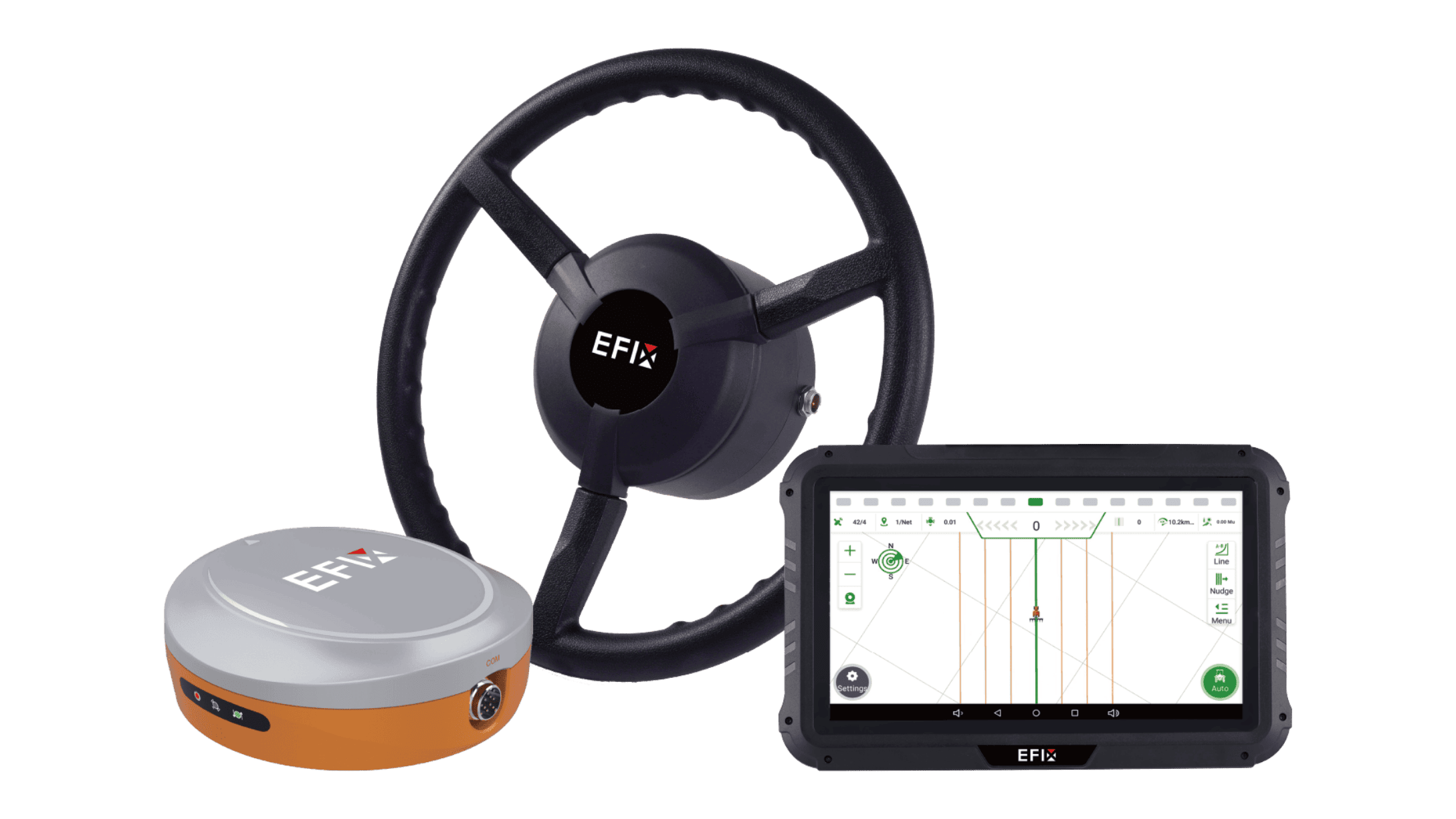
EFIX eSteer20 Max for High-Precision GNSS Guidance
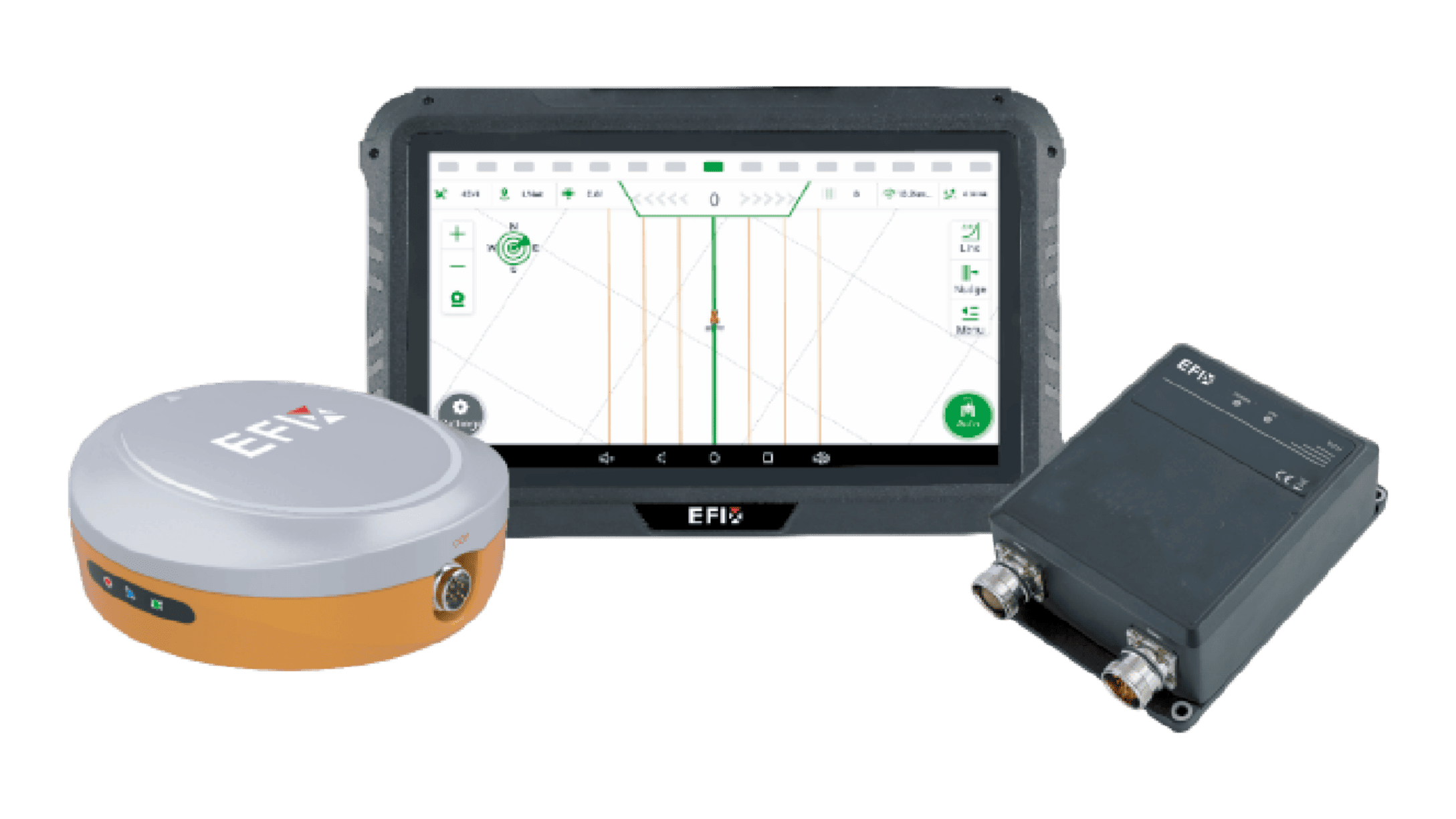
For operations seeking reliable, high-precision auto-steering without unnecessary complexity, EFIX delivers advanced GNSS guidance technology engineered for diverse agricultural environments.
Key Technical Highlights of the EFIX eSteer20 Max:
•±2.5 cm Centimeter-Level Precision: Delivering ±2.5 cm accuracy in RTK and PointSky modes, the system maintains straight rows and exact spacing for planting, spraying, and land preparation.
•Wide Speed Range: Engineered to maintain stable and precise guidance across speeds from 0.1 km/h to 30 km/h, supporting slow creeping speeds for delicate seeding as well as higher speeds for large-scale field spraying.
•Multi-Constellation Satellite Support: Tracks signals across GPS, BDS, GLONASS, Galileo, and QZSS constellations to secure strong satellite geometry, even near dense tree lines or field borders.
•EFIX-PPP PointSky Technology: Utilizes EFIX's proprietary satellite augmentation service, achieving high-precision convergence in under 5 minutes without relying on a local RTK base station or cellular coverage.
•Smart Navigation & Flexible Turning: Supports a wide range of guidance patterns, including AB lines, A+ lines, curves, circles, 90-degree angles, and full-field path planning. Integrated U-turn modes streamline end-of-row maneuvers.
•Full ISOBUS Capability: Features comprehensive ISOBUS support on a single screen, allowing operators to run smart implements without extra displays.
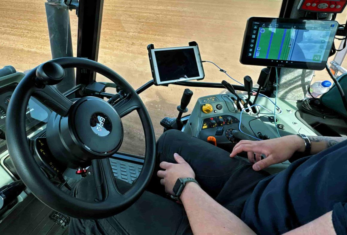
Picture shown: EFIX eSteer20 Max
Conclusion
GPS is used in agriculture in different ways, supporting applications such as field mapping, tractor guidance, precision planting, variable-rate application, and autonomous farming. As part of the broader GNSS ecosystem, GPS works together with other satellite constellations to improve satellite availability and positioning reliability.
Different correction methods, including SBAS, PPP, and RTK, provide various levels of accuracy at different costs. Understanding how GPS/GNSS is used in agriculture and how correction solutions work can help you choose the right system for your specific operations.
If you have any further questions, please feel free to contact EFIX’s professional team. We offer industry-leading tractor auto steer systems and customized solutions for farming machinery manufacturing needs.