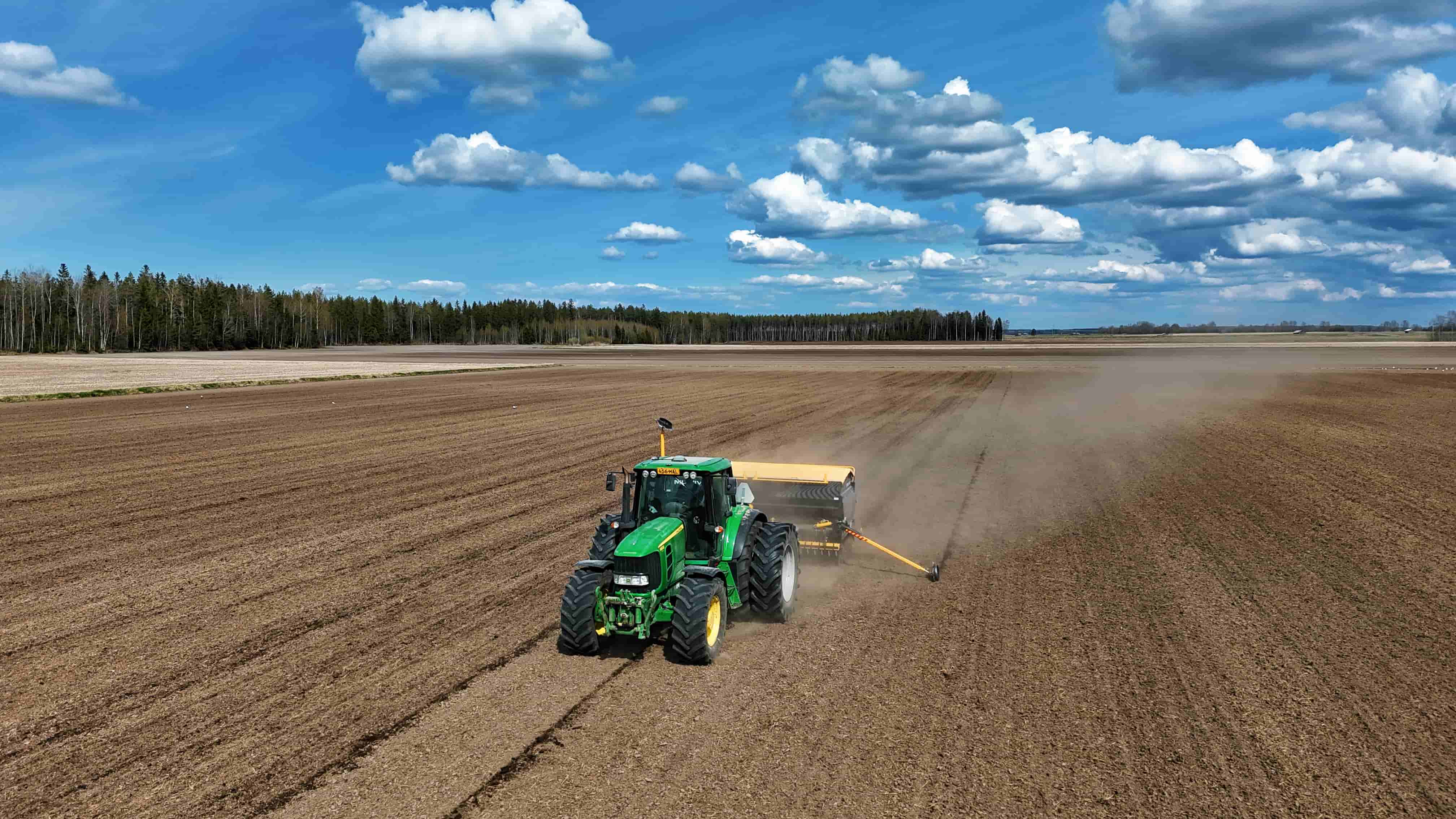
To grasp the mechanics behind high-accuracy guidance, it's helpful to understand a key component in the correction chain: the GNSS base station. This fixed installation is central to delivering the centimeter-level precision that modern farming relies on. We'll look at the operational principles that allow this equipment to enhance field-ready signals.

Establishing a Known Point of Reference
A GNSS base station functions by being permanently set up at a surveyed location with exact, known coordinates. It does not move. Its primary job is to continuously receive positioning signals from satellite constellations overhead, just like a mobile receiver on a tractor would. However, because its precise position on Earth is already established and stored in its system, it can perform a critical calculation. It compares the position calculated from the raw satellite signals against its own certified, fixed location. The difference between these two positions represents the total error present in the satellite signals at that specific moment and location. This error arises from atmospheric delays, satellite clock inaccuracies, and orbital deviations.
Calculating and Formatting Correction Data
Once the error is determined, the station's processing unit gets to work. It doesn't send its known position to rovers. Instead, it generates a stream of correction data that mathematically describes the discrepancy it has observed. This data is packaged into a standard format, such as RTCM (Radio Technical Commission for Maritime Services). These correction messages are essentially instructions that tell a rover receiver how to adjust its own raw satellite calculations to achieve a more accurate fix. The process is continuous, with the GNSS base station calculating and transmitting updated corrections multiple times per second to account for the dynamic nature of signal errors as satellites move across the sky.
Distributing Signals for Field Application
The generated correction data must then reach mobile equipment in the field. This distribution occurs through various methods. A common approach is via radio link, where the base station uses a UHF radio modem to broadcast the correction signal within a defined radius, typically covering an entire farm. Alternatively, the data can be sent through a cellular network to a server, where it is then made available to subscribers over the internet. This allows a rover with a cellular connection to receive corrections, which is the foundation of subscription-based correction services. In both cases, the rover—like a receiver on a tractor—applies these real-time corrections to its own signal calculations, effectively cancelling out the shared errors and pinpointing its true location with remarkable fidelity.
In essence, a GNSS base station acts as a stationary sentinel, constantly measuring inaccuracies in the global satellite signals from its trusted vantage point. By calculating these errors and broadcasting corrective information, it enables mobile receivers to determine their position with a degree of precision far beyond what standalone satellite signals permit. This infrastructure is fundamental to achieving the repeatable accuracy required for tasks like automated steering and variable rate applications. At Efix, we recognize the importance of robust correction sources. Our solutions are designed to integrate seamlessly with reliable correction networks, ensuring your equipment operates on a foundation of verified positional data.