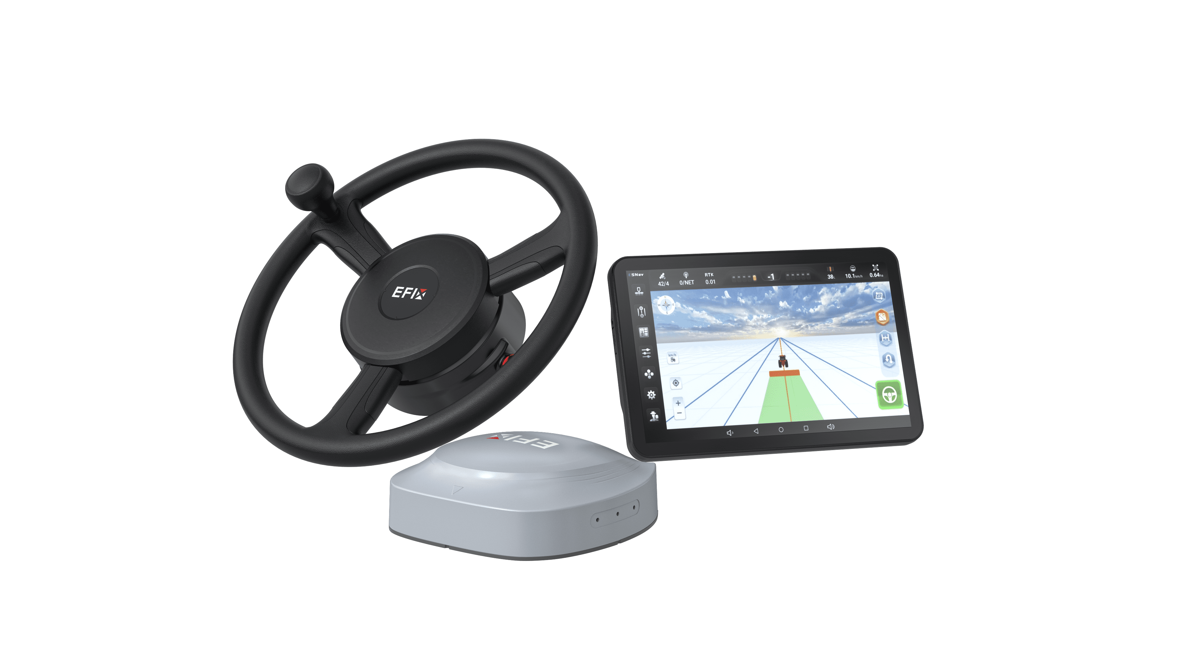
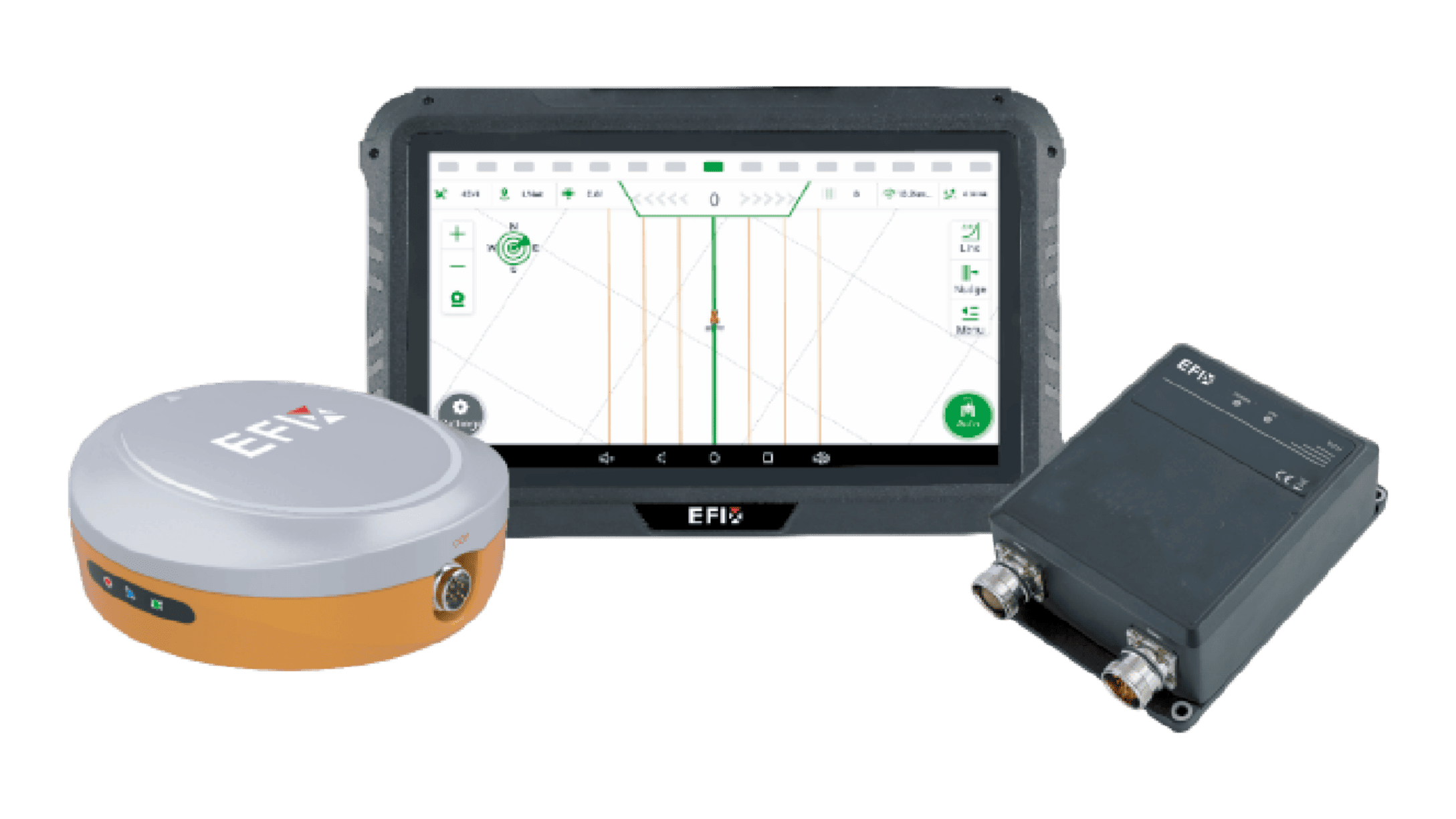
Implementing a reliable correction network often begins with establishing a fixed ground-based point of reference. This cornerstone of precision fieldwork, known as a GNSS reference station, provides the localized data needed to achieve centimeter-level accuracy for mobile equipment. While the technical principles are sophisticated, the setup process itself follows a logical sequence. We will outline the key phases involved in creating a stable foundation for high-precision guidance and data collection on your operation.

Evaluating and Selecting the Optimal Installation Site
The permanent location of the station is its most critical attribute. The primary objective is to secure a position with a complete, unobstructed view of the sky. This means identifying a site clear of tall trees, buildings, or silos that could block satellite signals from any horizon. The mounting point must be extremely stable; even minor settling or movement of the base over time will introduce errors into the correction data it broadcasts. A dedicated concrete pillar or a robust metal mast anchored to a substantial structure are common solutions. Furthermore, the site requires continuous power and a reliable method for data transmission, such as a cellular network connection or radio modem link, to broadcast corrections to rovers in the field.
Executing the Physical Mounting and Connection
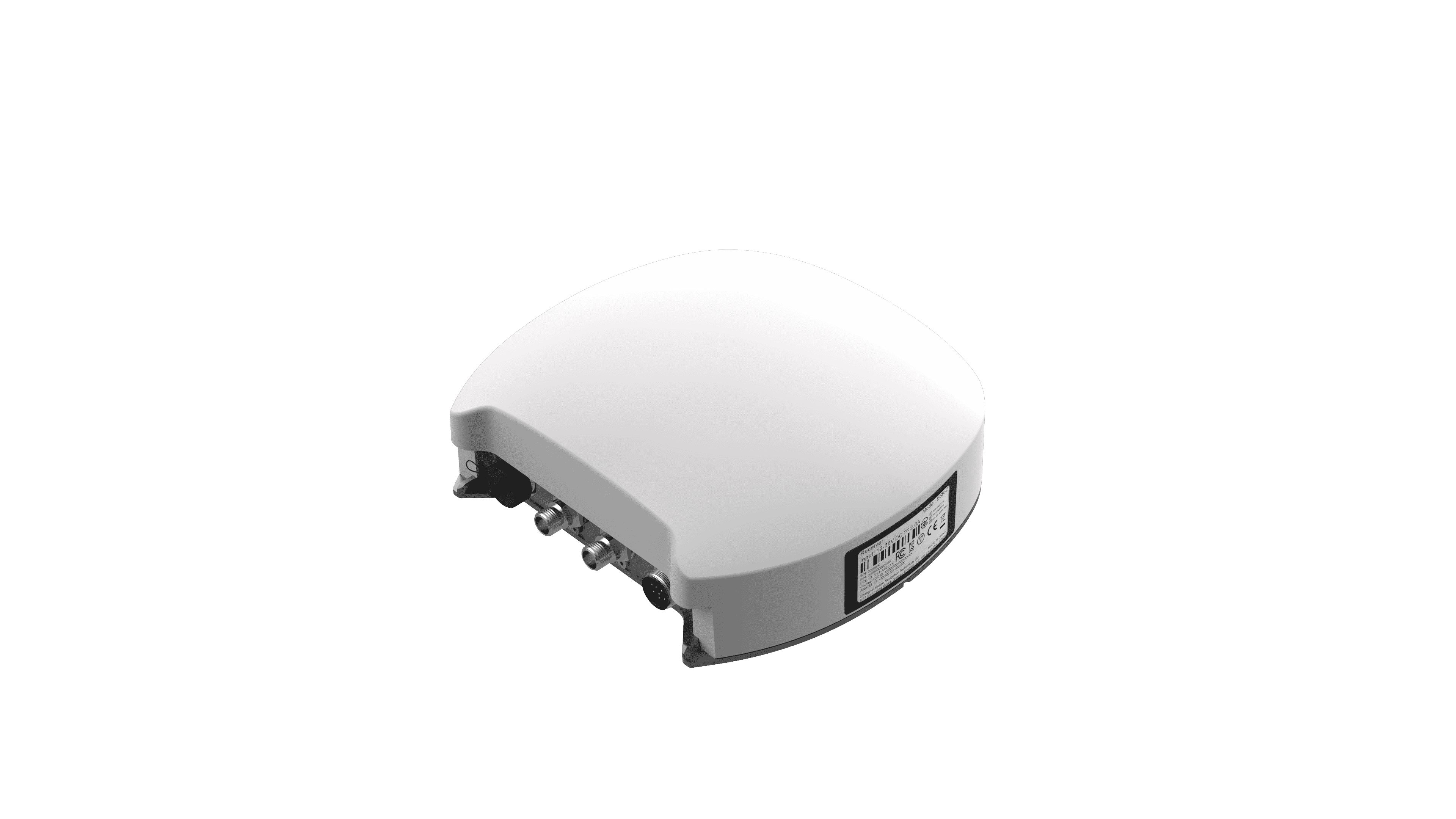
Once the site is prepared, the physical installation of the station components demands careful attention. The GNSS reference station itself consists of a high-quality antenna and a receiver/processor unit. The antenna must be mounted precisely level and oriented correctly, typically according to the manufacturer's specifications, on the stable platform. It is then connected via a protected cable to the receiver unit, which is housed in a secure, weatherproof enclosure. This enclosure also safeguards the power supply and communication hardware. All cabling should be routed to avoid damage from environmental factors or wildlife. Proper grounding of the entire installation is a non-negotiable safety and performance step to protect against electrical surges.
Configuring the System and Validating Performance
With hardware installed, the configuration process begins. This involves inputting the exact, surveyed coordinates of the antenna's phase center into the receiver's software—this known position is what allows the station to calculate corrections. Network settings for internet or radio communication are established to create a reliable data link. Following initial setup, a validation period is essential. The station must collect data over an extended timeframe, often 24 hours or more, to confirm its positional stability and the integrity of its correction signals. Operators verify this by checking the broadcast corrections with a separate rover receiver in the field, ensuring the system delivers the expected accuracy before relying on it for critical operations.
A properly installed GNSS reference station transforms from a piece of hardware into a consistent source of truth for all connected machinery. The procedure hinges on meticulous site selection, secure mounting, and precise configuration. When these steps are followed, the station provides a dependable stream of correction data, forming the backbone for accurate auto-steering, repeatable field passes, and trustworthy spatial records. For operations where reliability is paramount, this local control over correction quality is a significant advantage. At Efix, we provide the core components and support for these systems, offering the technology and guidance to help establish this permanent asset, ensuring your precision infrastructure is built on a solid and accurate foundation.