To begin, many users of satellite-guided equipment encounter the term "base station" but may not fully grasp its operational role. In essence, a GPS base station is a critical component for achieving high-precision positioning. It functions as a known, stationary point that continuously collects satellite signals. By comparing its fixed location to the data from orbiting satellites, it can calculate errors and generate correction signals. These corrections are then broadcast to nearby mobile receivers, enabling them to determine their own positions with far greater exactness. This system is fundamental for tasks requiring centimeter-level guidance.

Core Function: Generating Reliable Correction Data
The primary purpose of a GPS base station is to produce real-time correction information. It achieves this by leveraging its precisely surveyed, unchanging coordinates. As satellite signals pass through the atmosphere, they are delayed and bent, introducing small but significant errors into position calculations. The stationary unit detects these discrepancies by comparing the satellite's reported location against its own known location. It then formulates a correction model, which is transmitted via radio or cellular networks. This process transforms a standard satellite signal into a tool for highly accurate navigation.
Key Components and Operational Setup
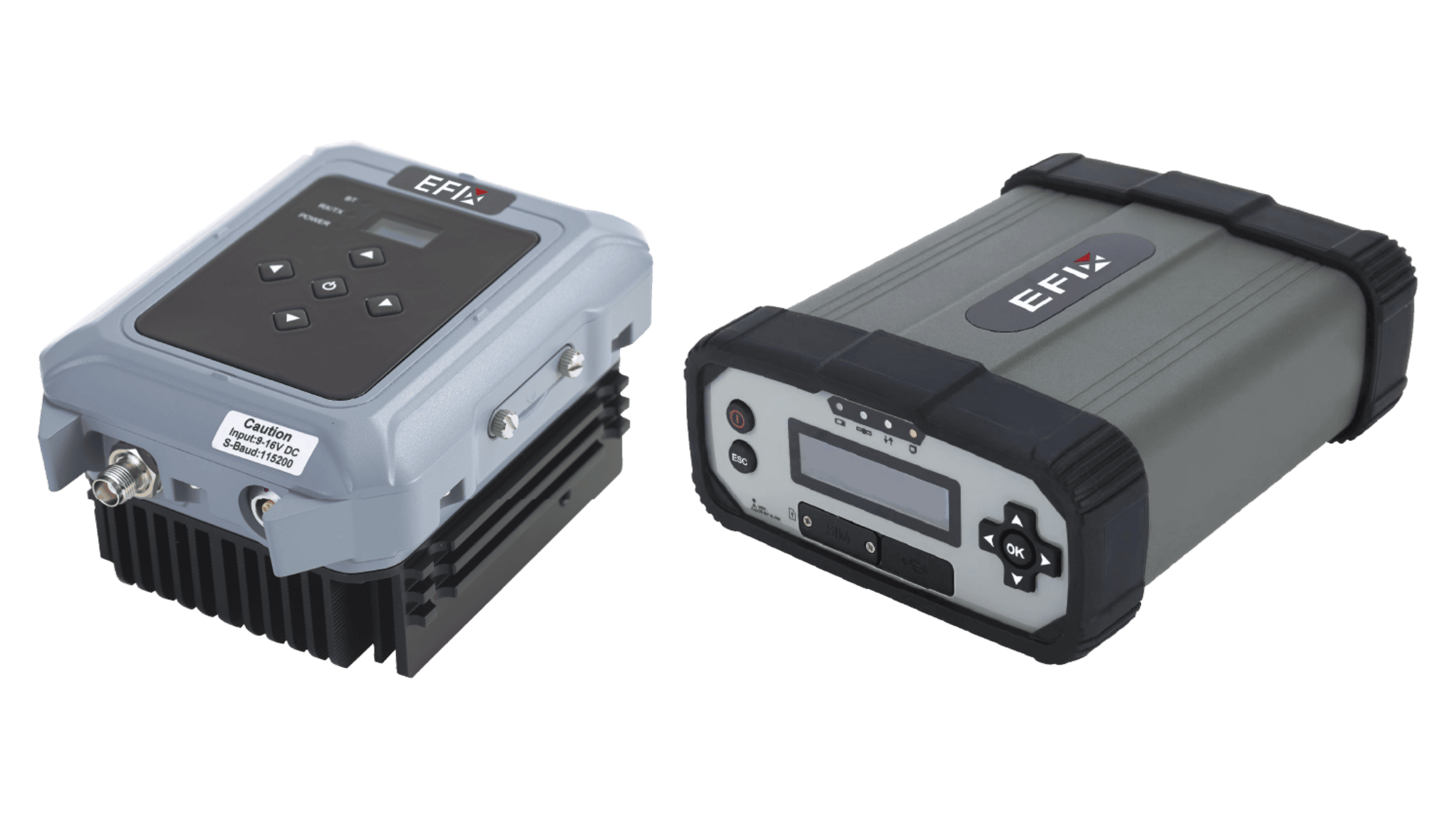
A typical GPS base station consists of several integrated hardware elements. The system is built around a high-quality GNSS antenna and receiver, securely mounted on a stable monument or tower. A reliable power source, often with battery backup, ensures continuous operation. A communication module, such as a radio transmitter or cellular modem, broadcasts the generated correction stream. Finally, processing software manages the data flow and corrections. Proper installation requires a clear view of the sky and a location free from major interference, establishing a foundation for consistent signal integrity.
Practical Benefits for Field Operations
Implementing a local GPS base station delivers measurable advantages in consistency and control. It provides a dedicated correction source, eliminating reliance on third-party subscription services or distant public networks, which can sometimes be unavailable. For agricultural applications, this means guidance and implementation systems can maintain their specified accuracy for activities like planting, spraying, and tilling. The result is improved operational efficiency through reduced overlap and input waste, along with better alignment of field records from season to season.
Understanding this technology clarifies its value in precision applications. A local GPS base station acts as a fixed reference anchor, enabling mobile equipment to navigate with enhanced reliability. It directly addresses the inherent variables in satellite signals, providing a tailored solution for positional accuracy. The investment centers on gaining independence and consistency for critical field operations. At Efix, we support this infrastructure by supplying robust and user-friendly base station solutions, giving operators direct command over their correction data for more dependable outcomes.