When we examine positioning technology, the intended use defines the tool. A GNSS receiver for surveying and a receiver designed for agricultural guidance may share a technological foundation, but are engineered for divergent professional objectives. At Efix, we recognize that clarity on these distinctions prevents mismatched expectations. The core difference lies not in basic function, but in the required degree of accuracy, the nature of data output, and the operational environment. Understanding this separation is key to selecting the right technology for the task, whether mapping a property line or guiding a wide implement.

Divergence in Accuracy and Correction Methods
The most pronounced contrast is in the accuracy specification. Survey-grade receivers are engineered for centimeter or even millimeter-level precision. This is non-negotiable for creating legal land boundaries, topographic maps, or construction layouts. To achieve this, they often utilize complex, dual-frequency technology and require longer observation times to resolve carrier-phase ambiguities. They typically rely on precise correction services from permanent base stations or require a dedicated, local base receiver. An agricultural GNSS receiver for surveying-grade tasks would be inadequate here. Conversely, agricultural guidance systems commonly prioritize real-time, sub-inch to pass-to-pass accuracy, using less expensive single-frequency receivers and subscription correction services optimized for constant movement, a balance of performance and cost for field-scale operations.
Functionality and Data Output Requirements
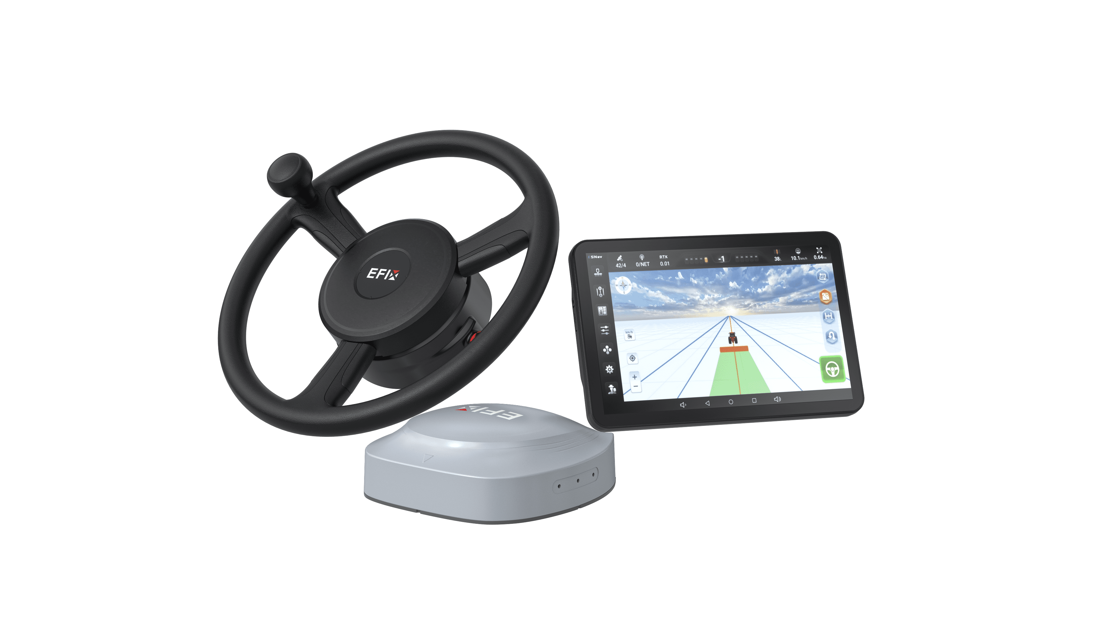
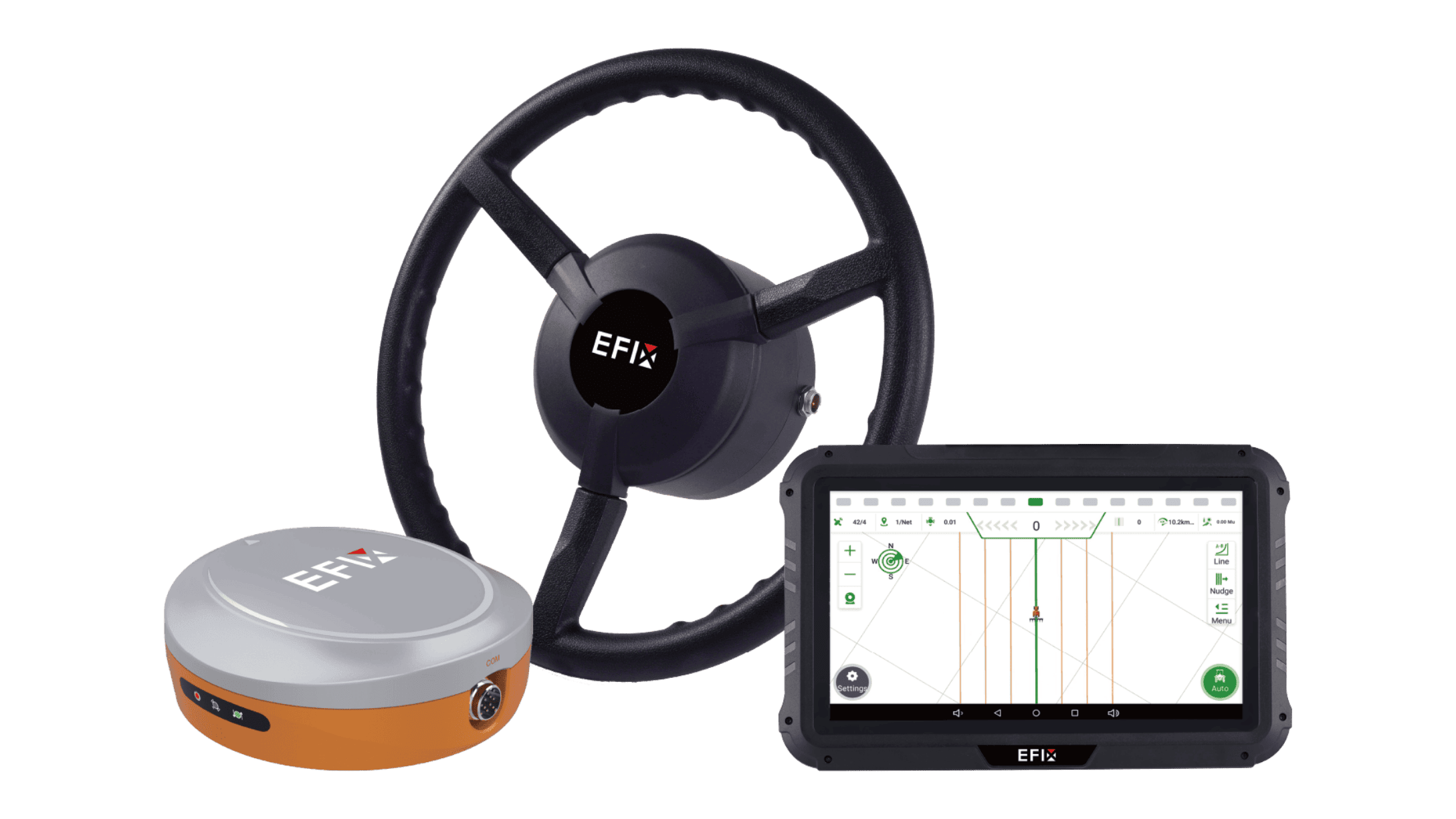
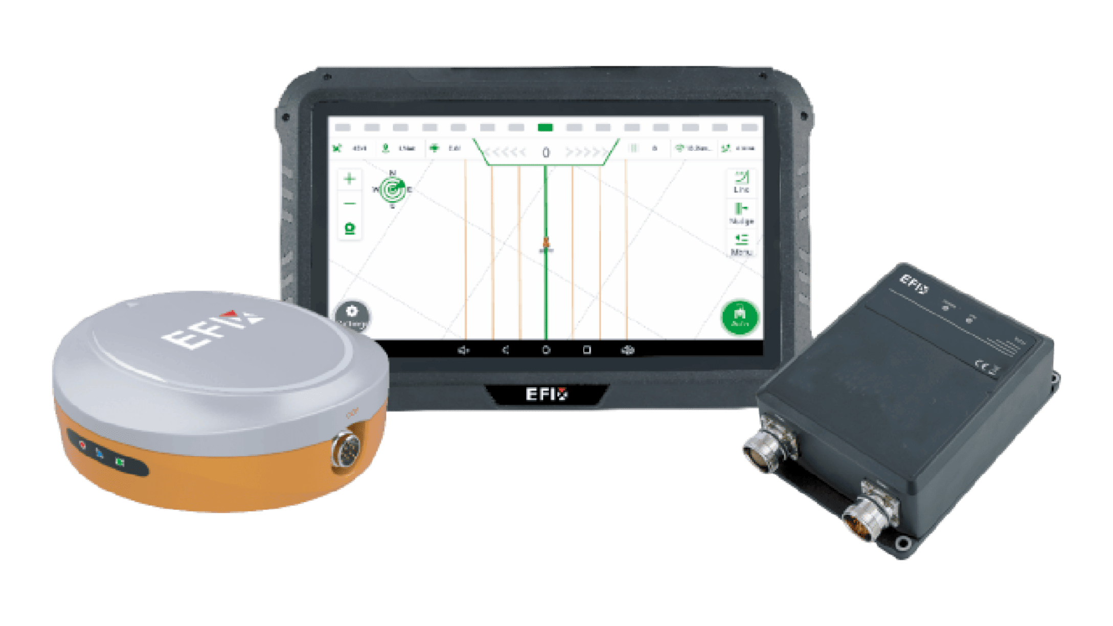
The operational workflow dictates the receiver's functionality. A surveying receiver's primary role is to collect highly accurate point, line, and area data for post-processing or integration into CAD and GIS software. The data output itself is the final product—a map, a plot, or a set of coordinates with legal standing. The receiver is a meticulous data-collection device. In agriculture, the receiver is a real-time control sensor. Its primary output is not a static map for a client, but a continuous stream of position and heading data fed instantly into a vehicle's steering controller or implement control system. The focus is on actionable guidance and application control during an ongoing process, not on creating a definitive archival record.
Operational Environment and System Durability
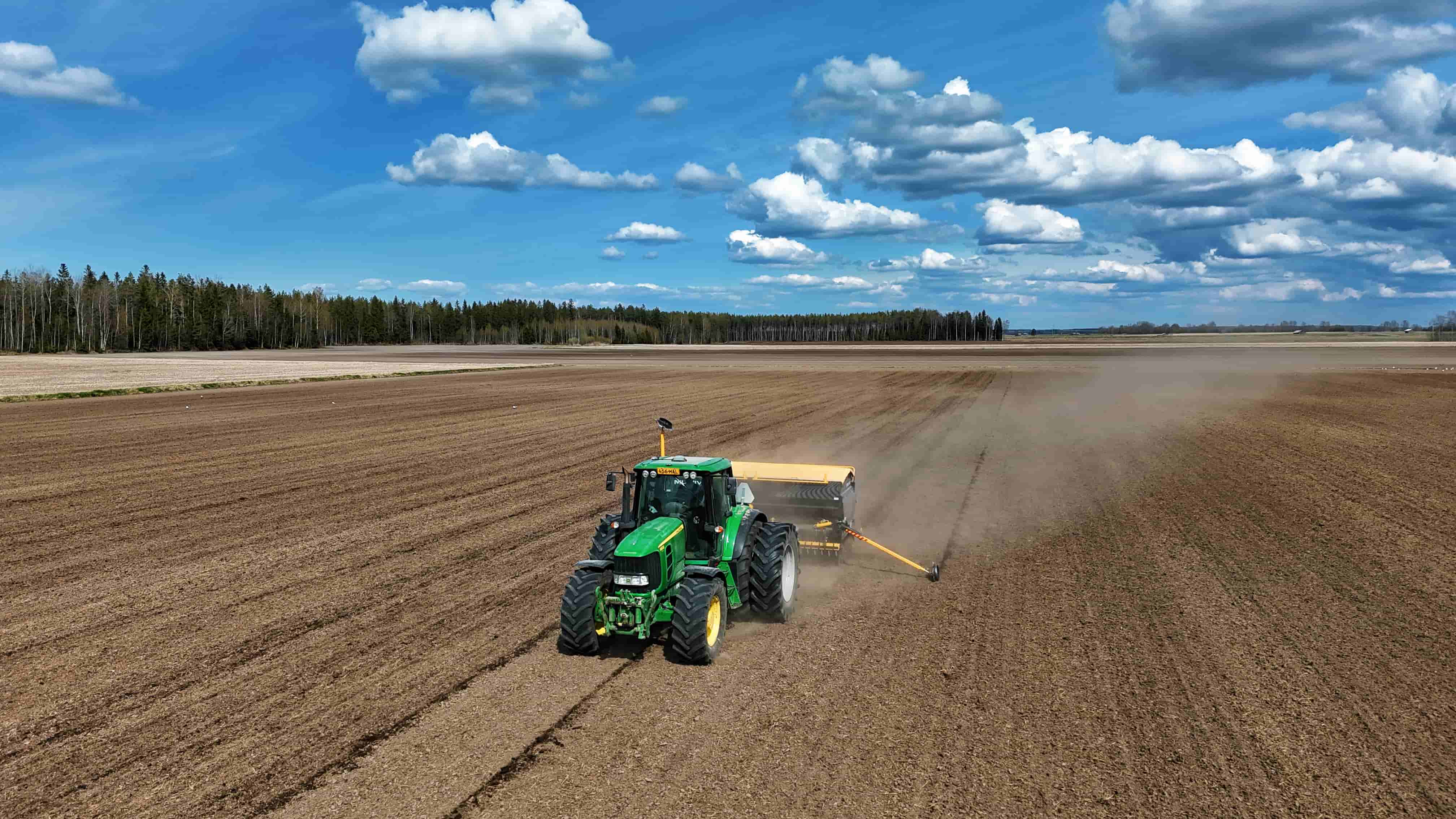
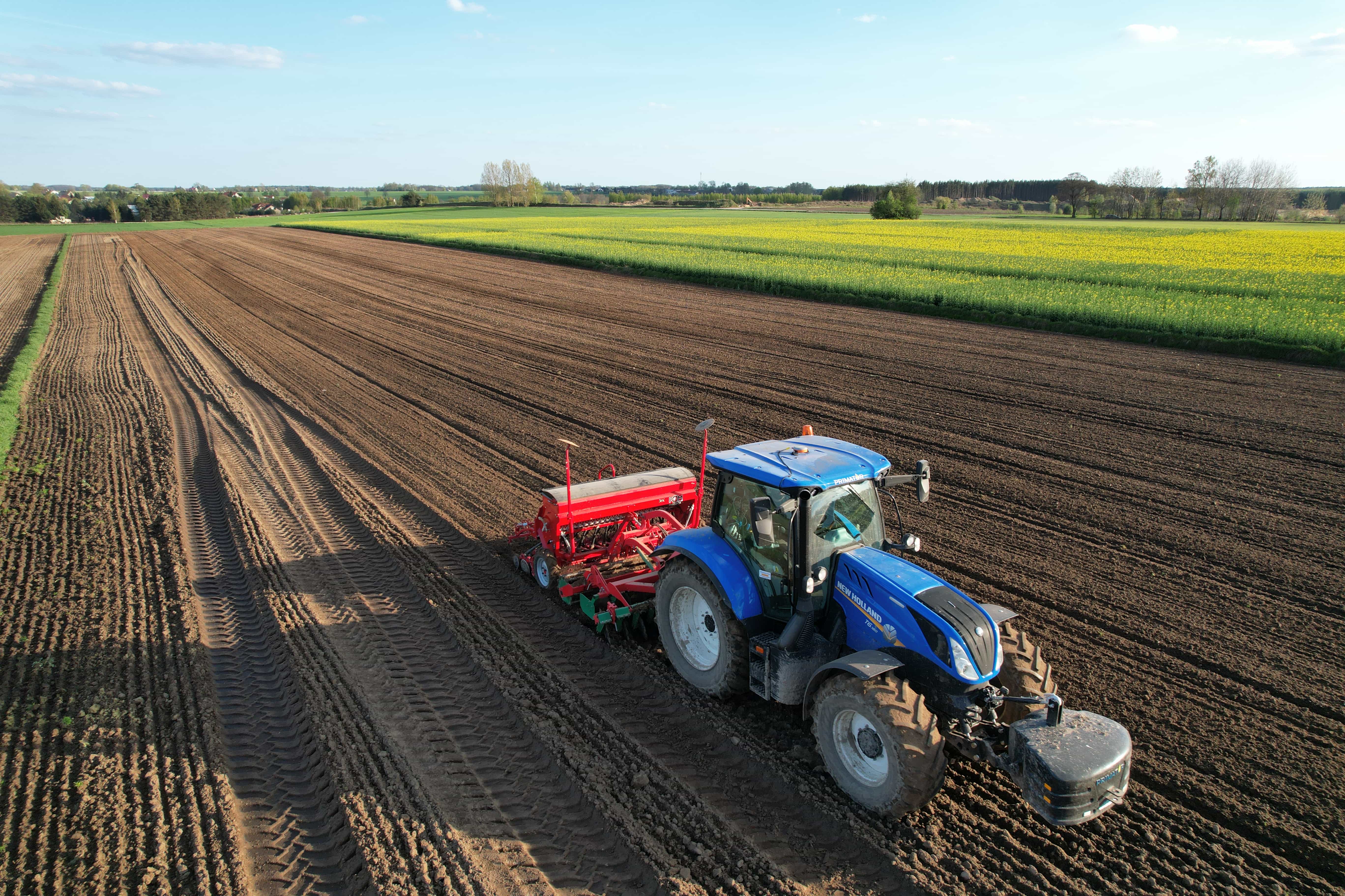
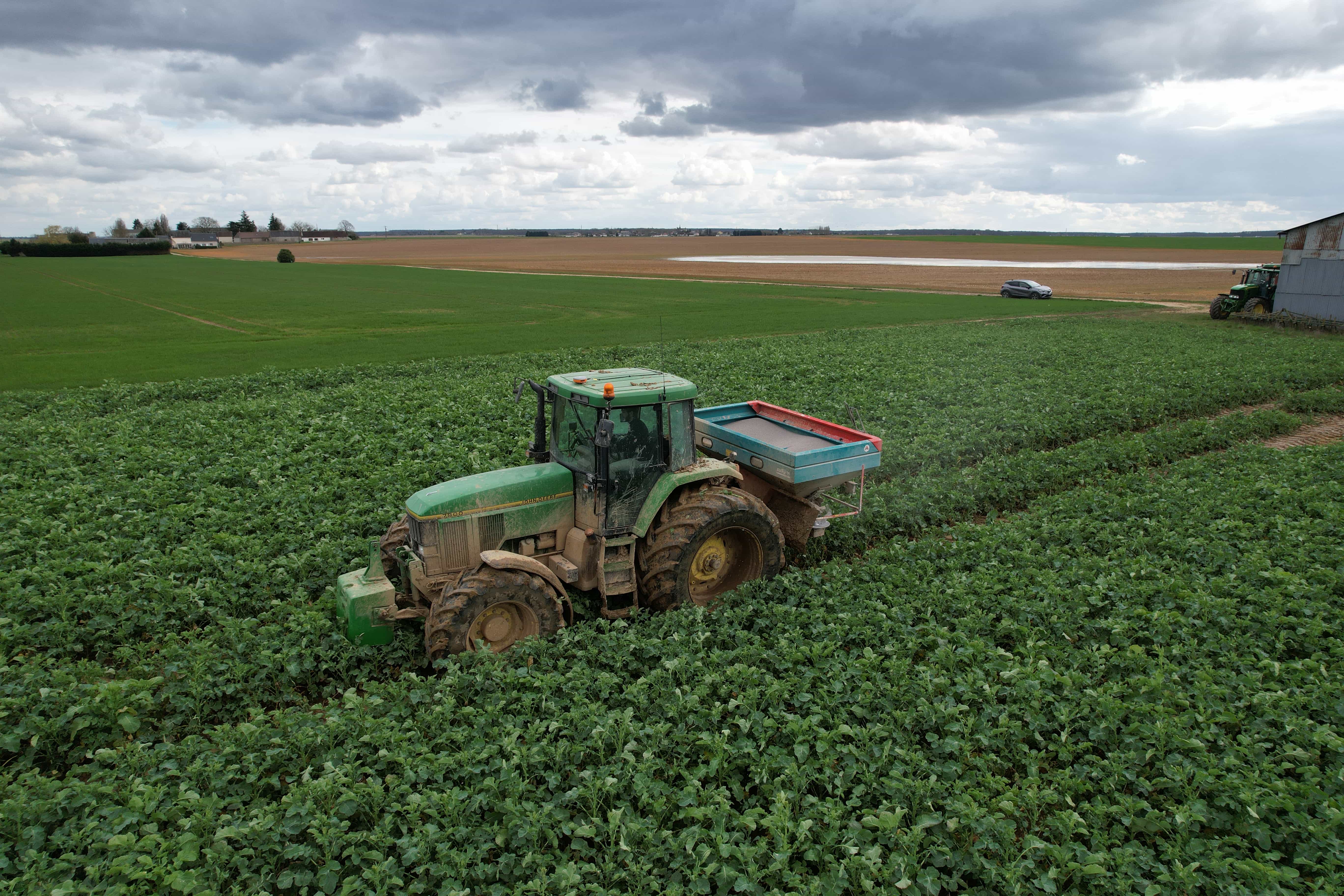
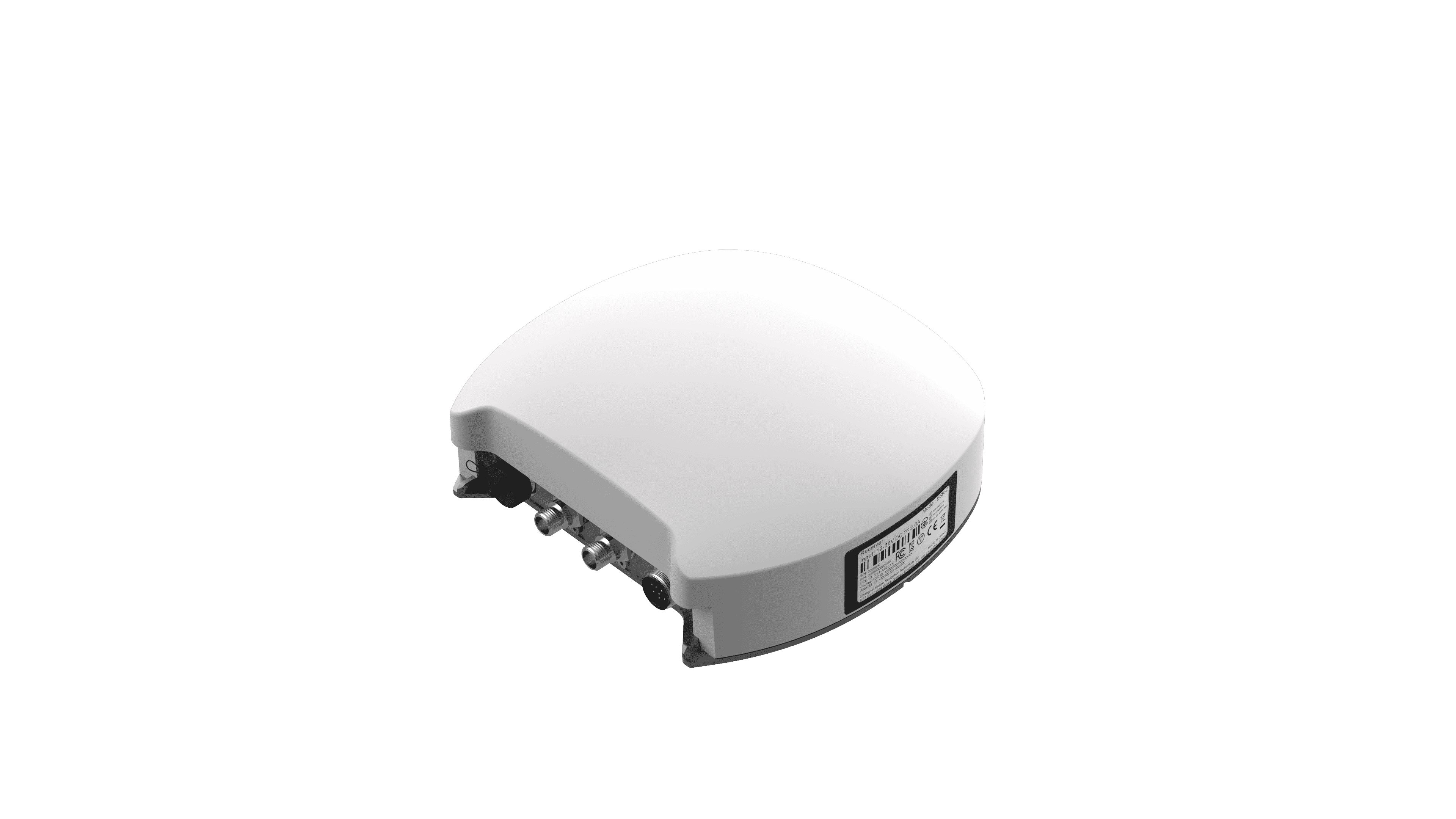
The physical demands on the equipment differ. Survey receivers are used in varied, sometimes rugged terrain—from urban canyons to dense forests—and are often carried by a person. They are built for portability, with components like a pole and data collector, and must maintain accuracy despite potential signal obstructions. While durable, they are not typically designed for permanent, high-vibration mounting on heavy machinery. Agricultural receivers are fixtures. They are built into a vehicle's architecture, engineered to withstand constant vibration, dust, moisture, and temperature swings inherent to farm machinery operation. Their design prioritizes reliable, hands-free operation over months of continuous use in the open field.
The distinction between a survey-grade receiver and an agricultural guidance unit is therefore a matter of engineering priority. One is a precision measurement instrument where data integrity is paramount; the other is a robust, real-time control sensor where consistent operational accuracy is the goal. Each excels in its domain because its design is shaped by fundamentally different end-uses. Our role at Efix involves understanding these specific technical requirements, ensuring that the positioning solutions we discuss are aligned with the true needs of the project, whether it demands the meticulous data of a GNSS receiver for surveying or the durable guidance required in agricultural production.