A common consideration when implementing precision technology involves the level of positional accuracy required. Two primary pathways exist: conventional satellite-based guidance and solutions built around an RTK auto steer system. The distinction between them is not merely incremental; it defines the scope of possible field operations. We will clarify how these systems diverge in capability and application.

The Fundamental Measure: Accuracy and Repeatability
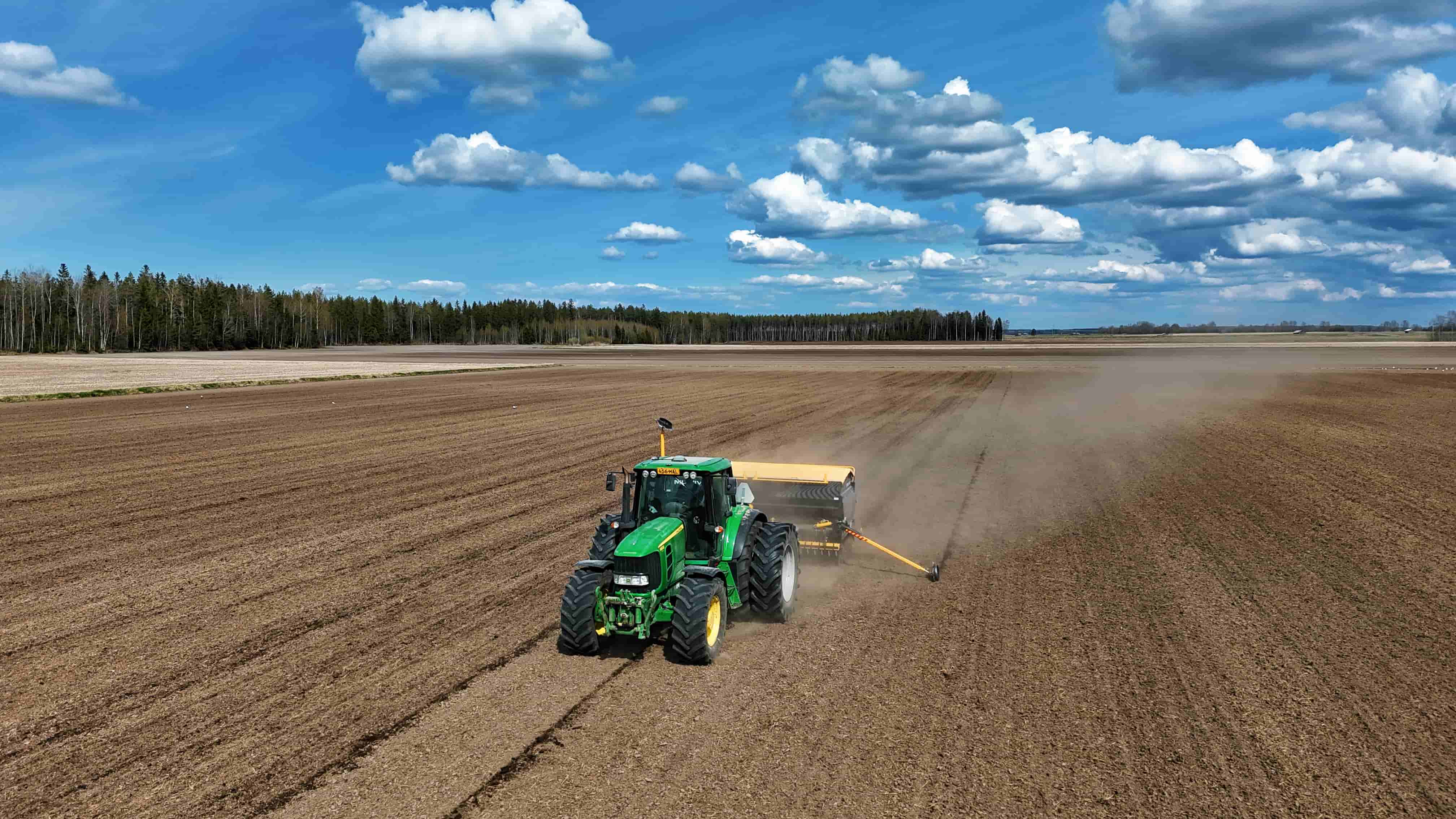
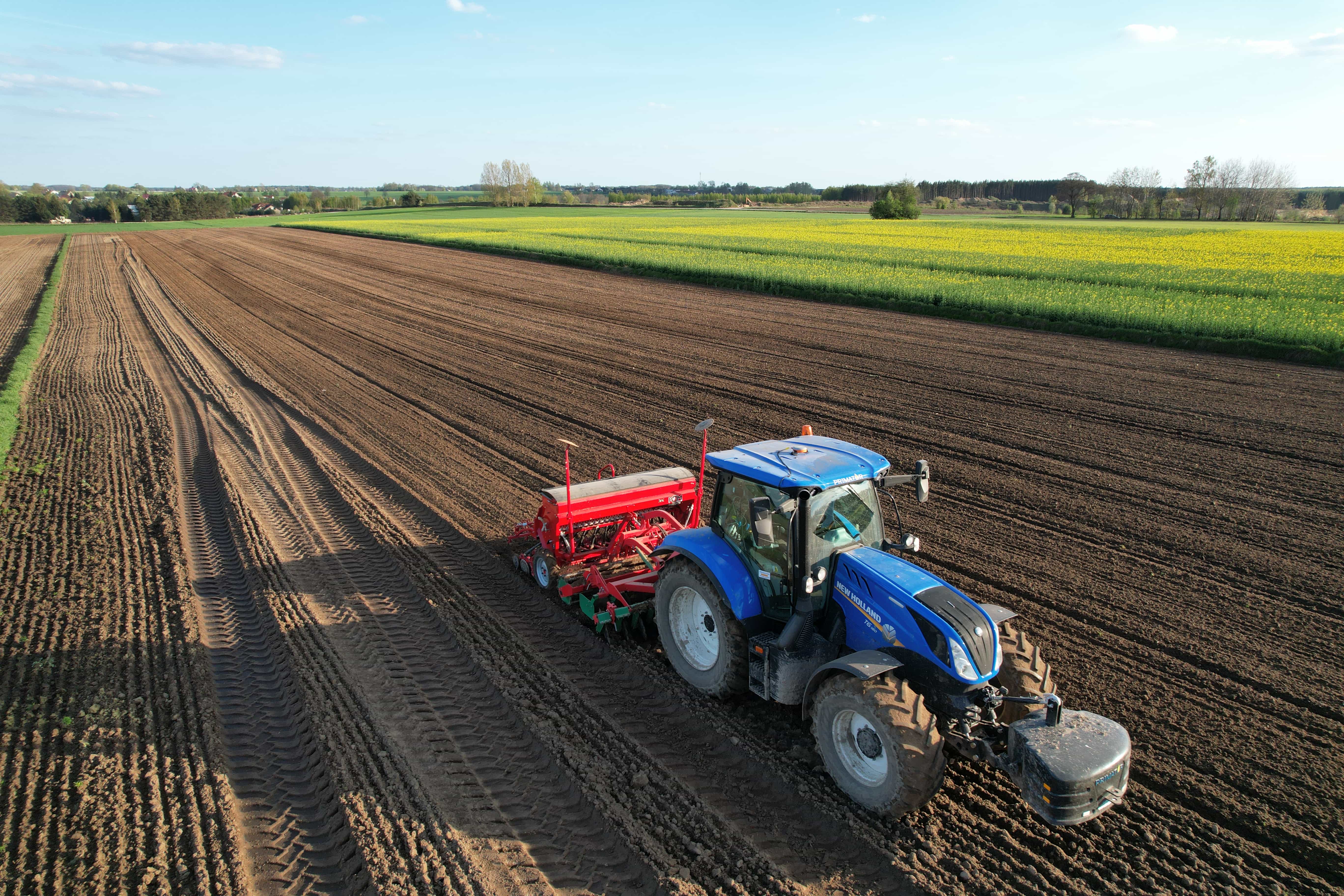
The most significant difference lies in the degree of positional fidelity each system provides. Standard GPS guidance typically offers accuracy within a range of several feet to a meter. This is suitable for broader applications like basic field mapping or lightbar-assisted manual steering. An RTK auto steer system, in contrast, achieves consistent centimeter-level accuracy. This precision is not just about where you are, but about being able to return to that exact same point across different seasons or years. This repeatability is critical for operations like controlled-traffic farming, inter-row cultivation, or sub-inch accuracy planting, where even small deviations can have notable consequences.
Infrastructure and Signal Correction Methods
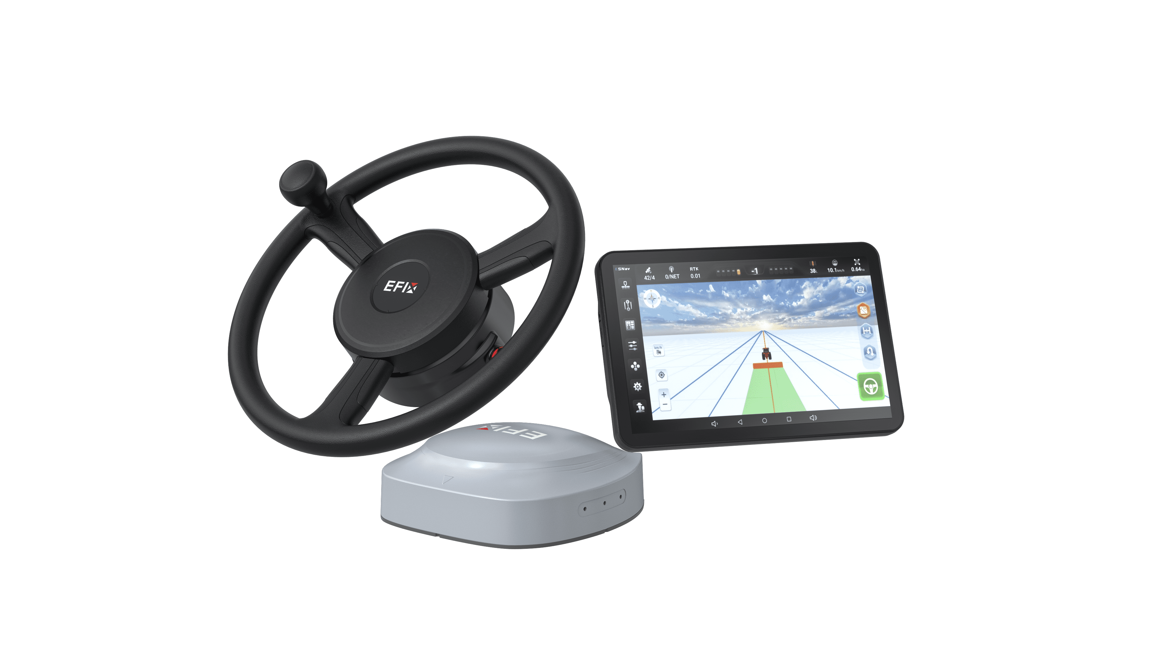
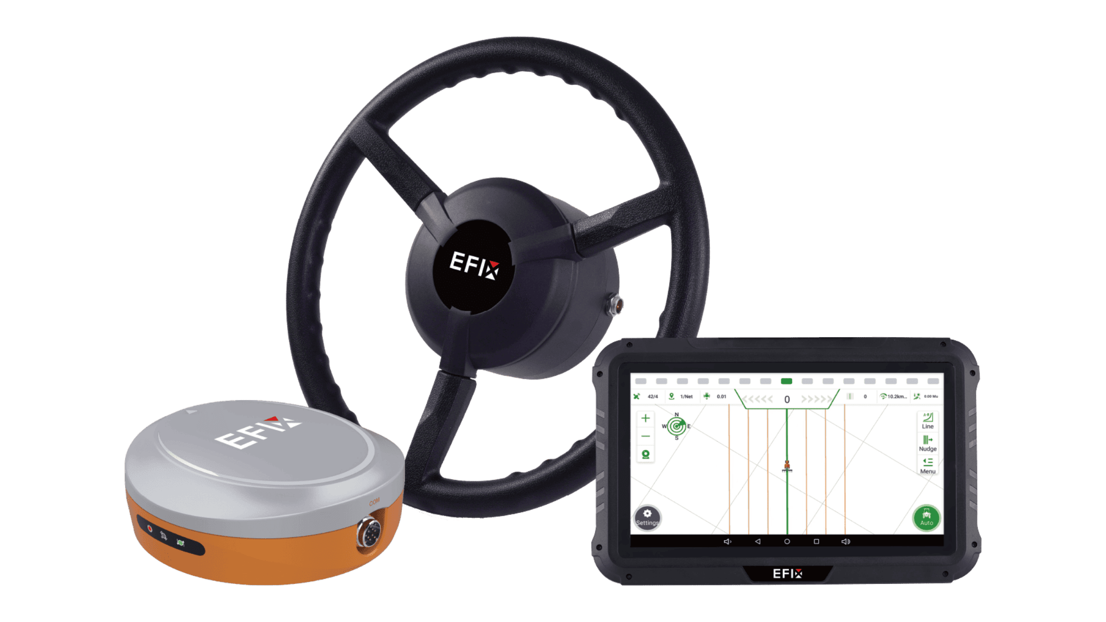
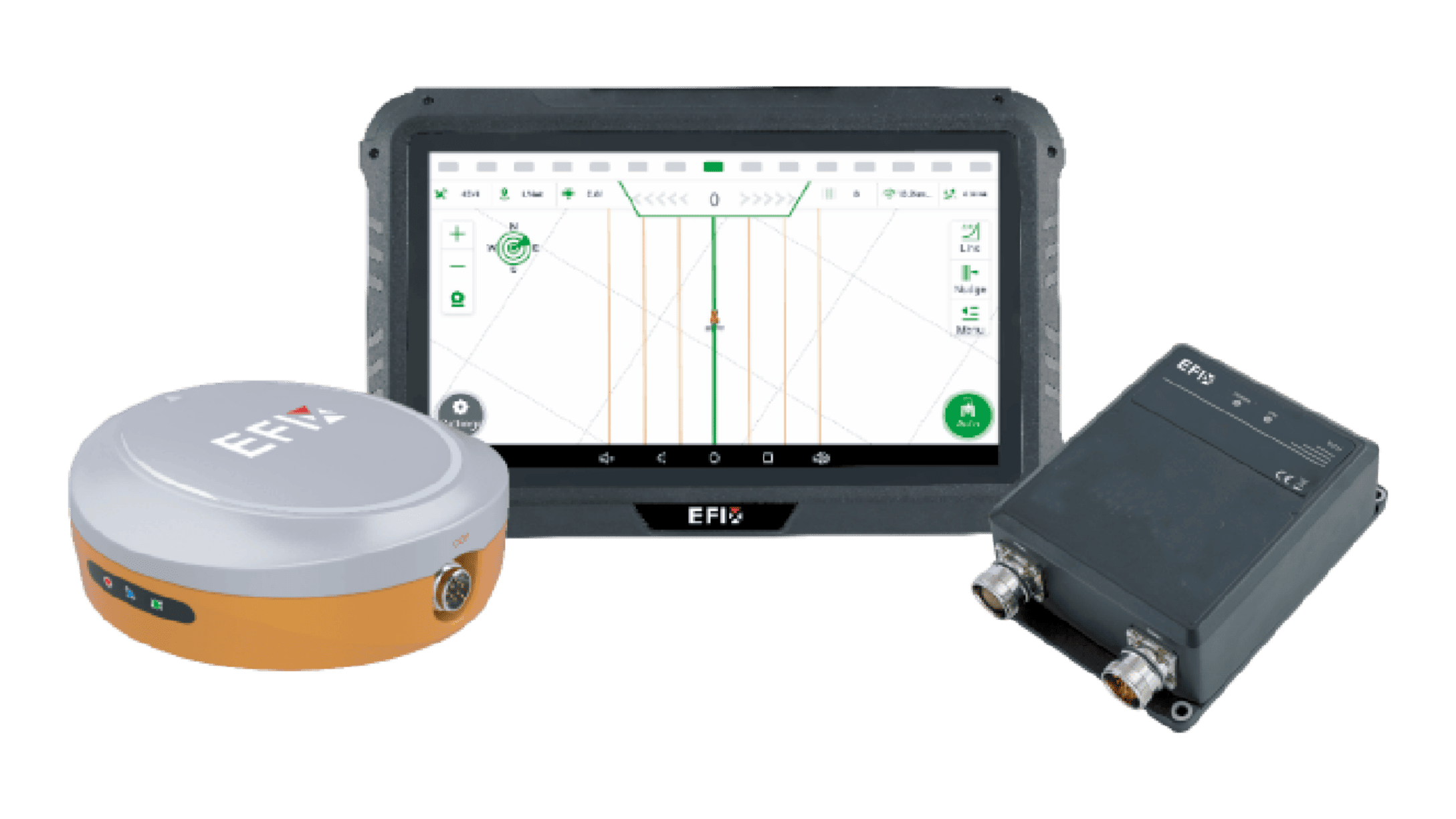
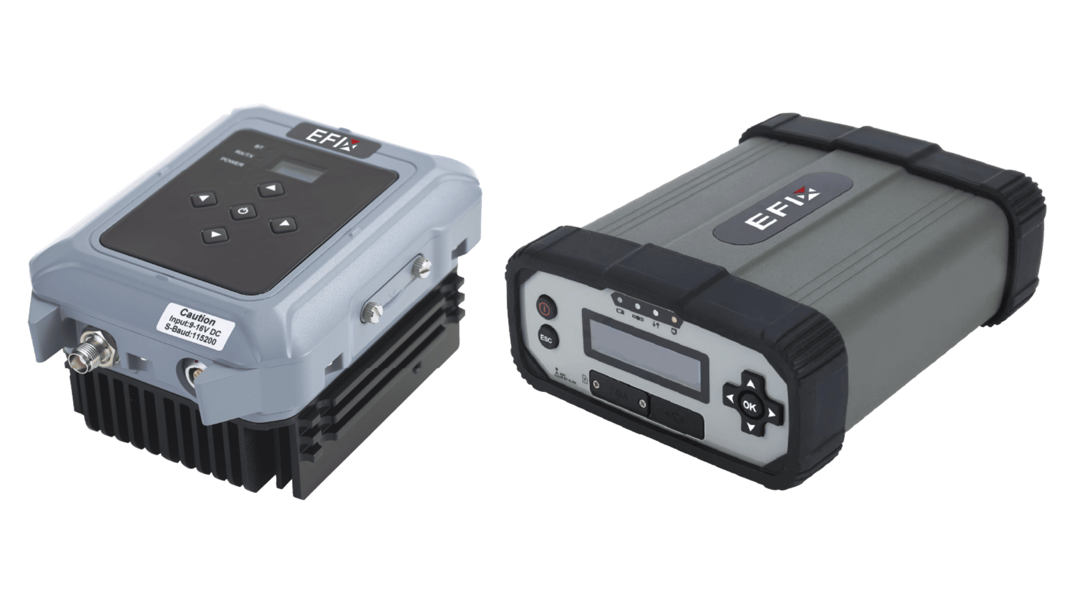
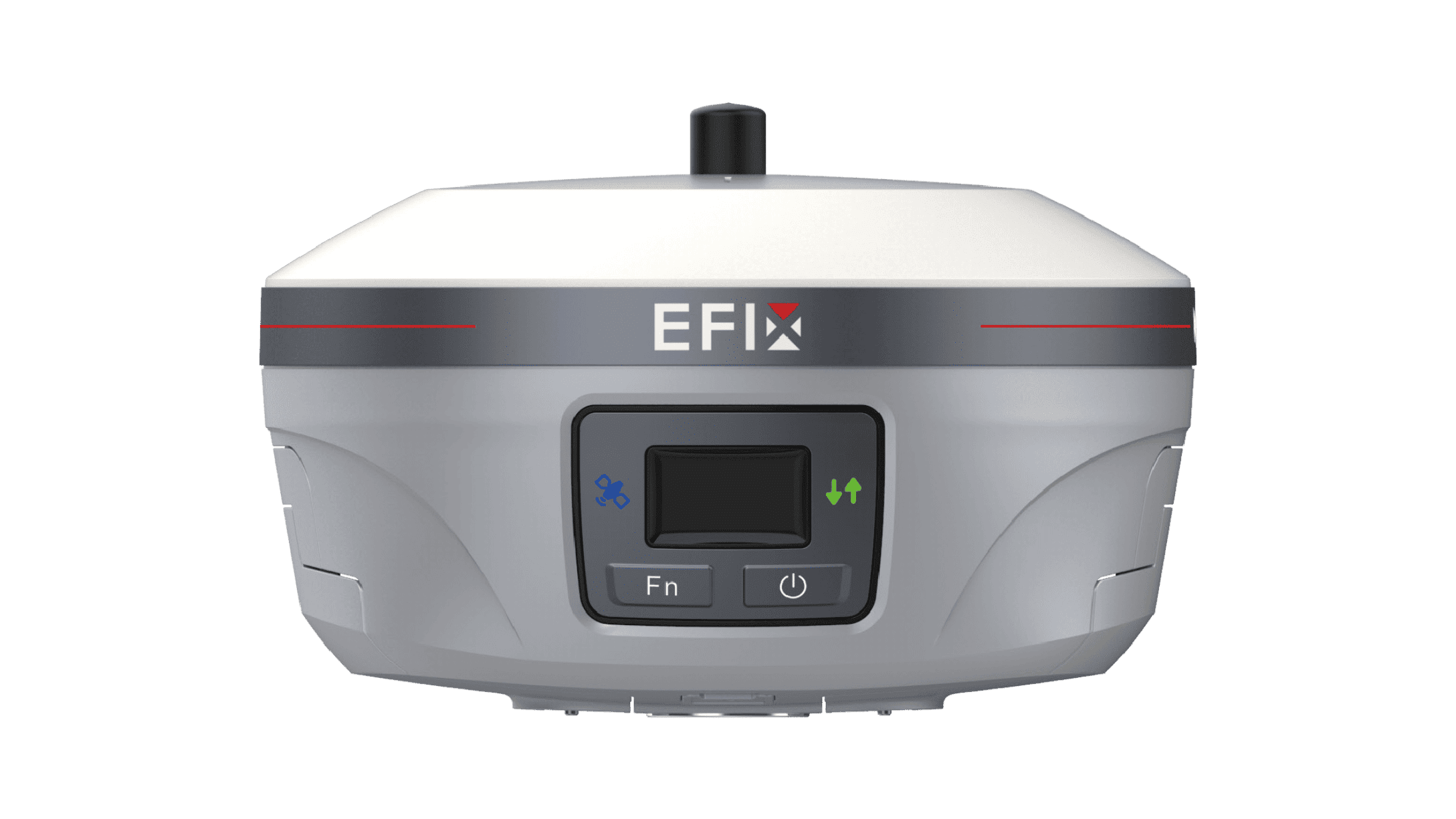
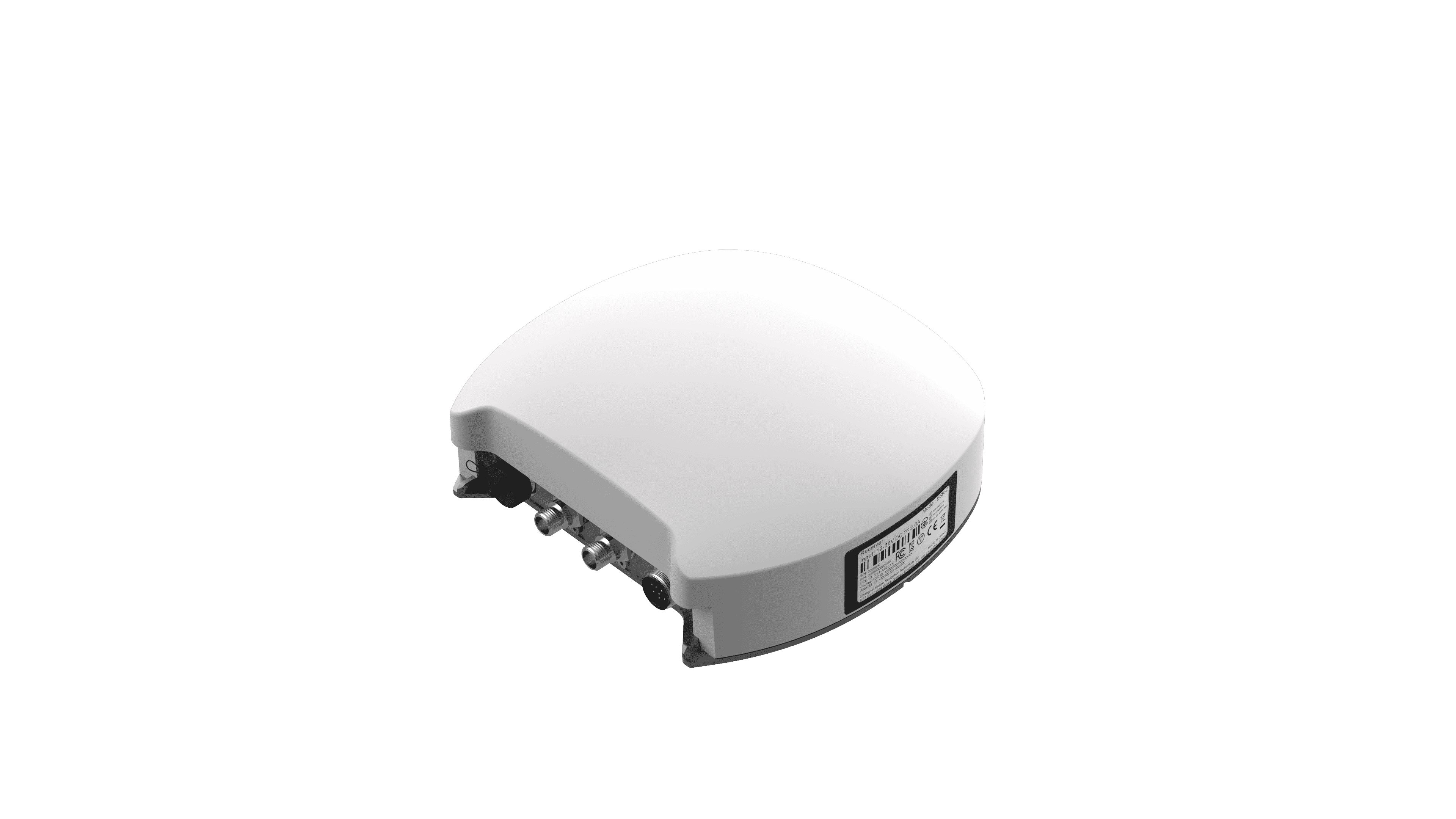
This disparity in performance stems from how each system corrects the inherent errors in global satellite signals. Standard GPS systems often use free, satellite-broadcast corrections or subscription-based wide-area networks. These corrections improve raw signal accuracy but are designed to cover vast regions, which limits their fineness. An RTK auto steer system operates on a different principle. It relies on a fixed, local base station that calculates errors in real-time by comparing its known position to the satellite signals it receives. It then broadcasts these highly precise, localized corrections directly to the field equipment. This localized approach is what enables the centimeter-level consistency, but it requires establishing and maintaining that base station infrastructure, either on the farm or through a nearby network.
Operational Implications and Practical Fit
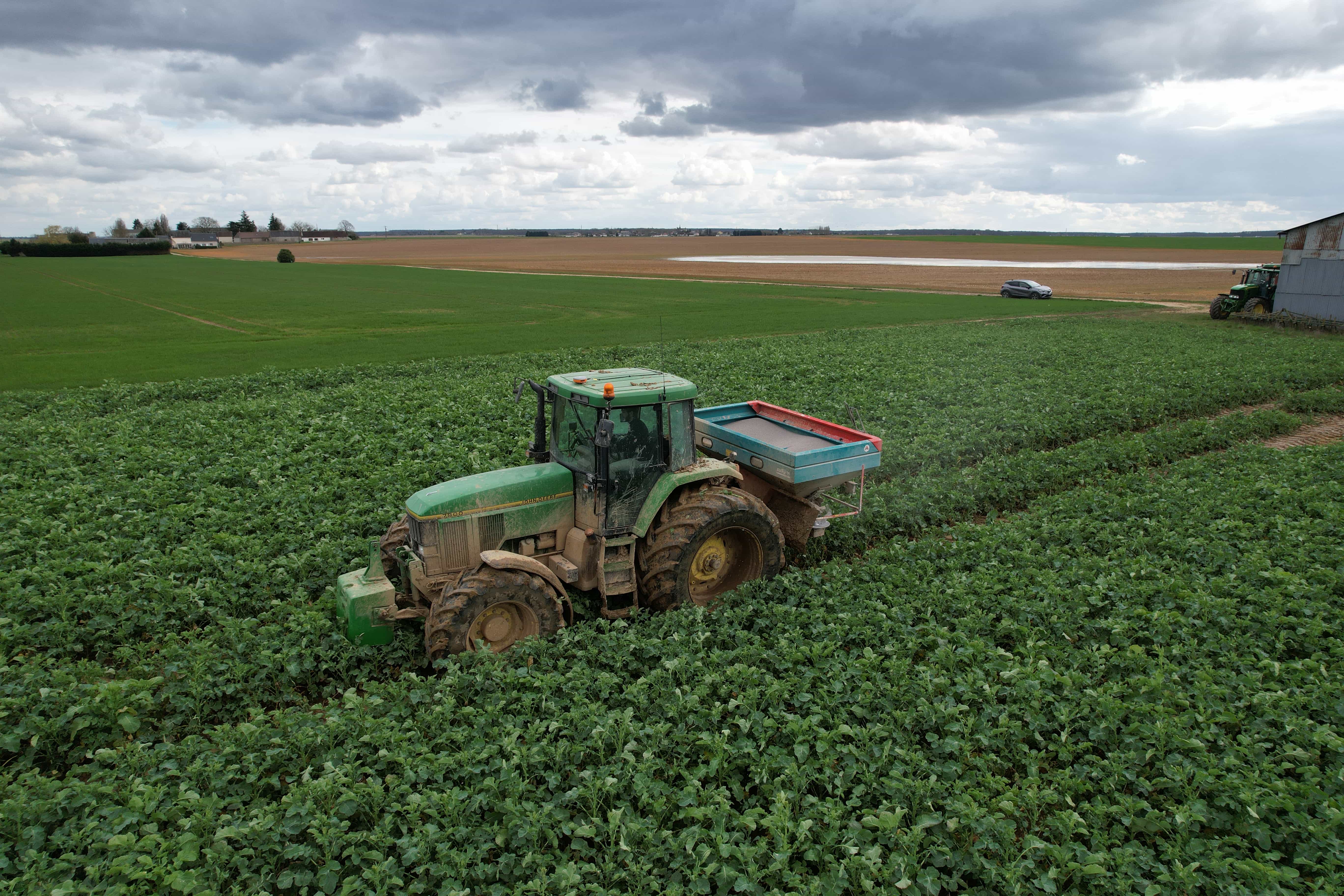
Choosing between these paths depends largely on the tasks at hand. For operations where broad-accuracy is sufficient—such as certain broadcast spraying, manure application, or general field documentation—a standard GPS system provides a valuable and cost-effective layer of guidance. However, for operations demanding tight tolerances, such as placing seed precisely in relation to previous years’ rows, automating passes for high-value crops, or conducting detailed topographic surveys, the capabilities of an RTK auto steer system become necessary. The investment correlates directly with the need for ultra-fine accuracy, repeatability, and the potential input savings that such control enables.
In summary, the selection hinges on matching the tool's capability to the job's requirements. Standard GPS guidance enhances efficiency and reduces overlap for many tasks. When operational plans require pinpoint accuracy and long-term positional consistency, the technical advantages of a dedicated correction network become essential. At Efix, we provide clarity on these options. Our focus is on ensuring you have access to guidance technology that aligns with your specific operational goals, whether that involves robust standard solutions or the high-fidelity performance of advanced steering systems.