Establishing an RTK GPS base station in the field is crucial for professionals seeking high-accuracy positional data. Understanding the steps involved in this process can significantly enhance your ability to capture precise measurements for various applications, from surveying to agriculture. Here’s a comprehensive guide on how to efficiently set up an RTK GPS base station, ensuring optimal performance and data quality.

Selecting the Right Location for Your Base Station
Choosing the correct location for your RTK GPS base station is the foundation of all succeeding measurements. To achieve accurate GNSS data, position the base station in an open area with minimal obstructions. A clear view of the sky maximizes satellite visibility, which is vital for receiving signals from multiple systems such as GPS, GLONASS, Galileo, and BeiDou. Avoiding geographical barriers like tall buildings, trees, or mountains that could obstruct the satellite signals is essential for optimal operations. Assessing the terrain can also inform you of potential multipath errors, where signals reflect off surfaces before reaching the receiver, further compromising accuracy.
Setting Up the Equipment and Configuration
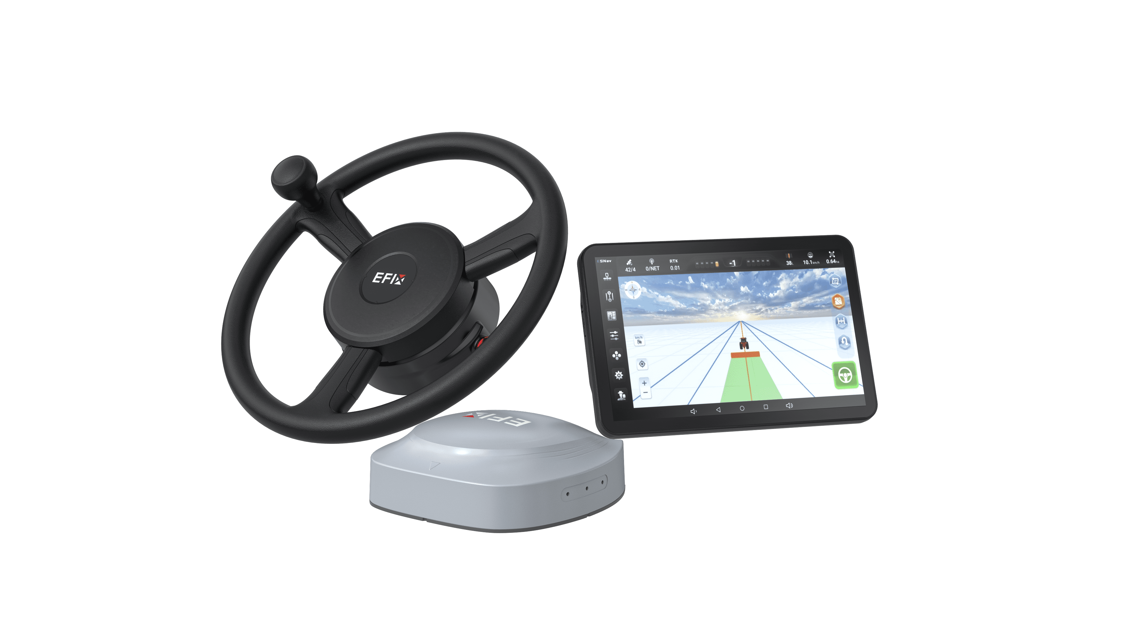
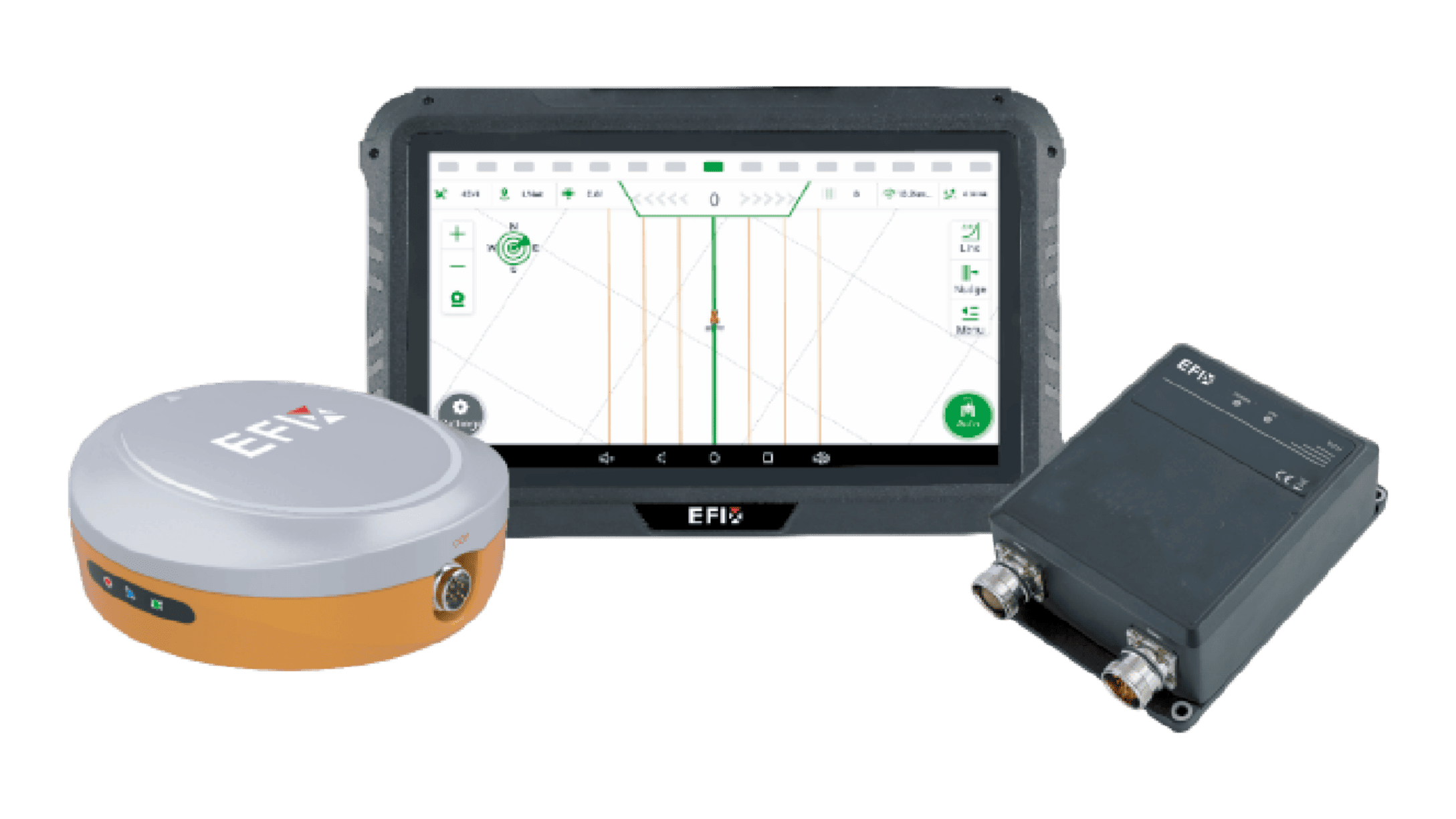
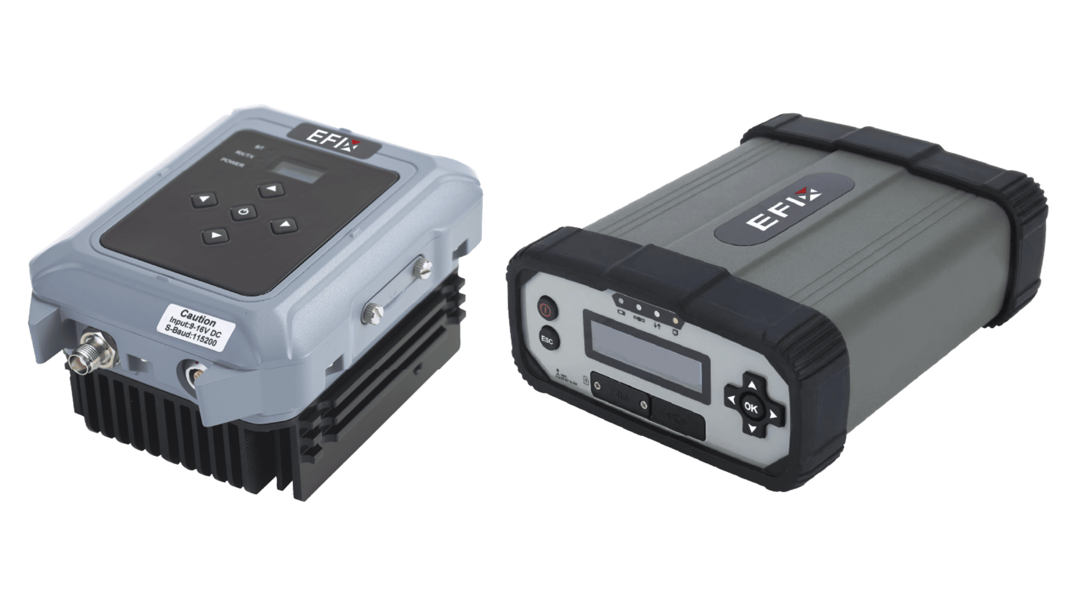
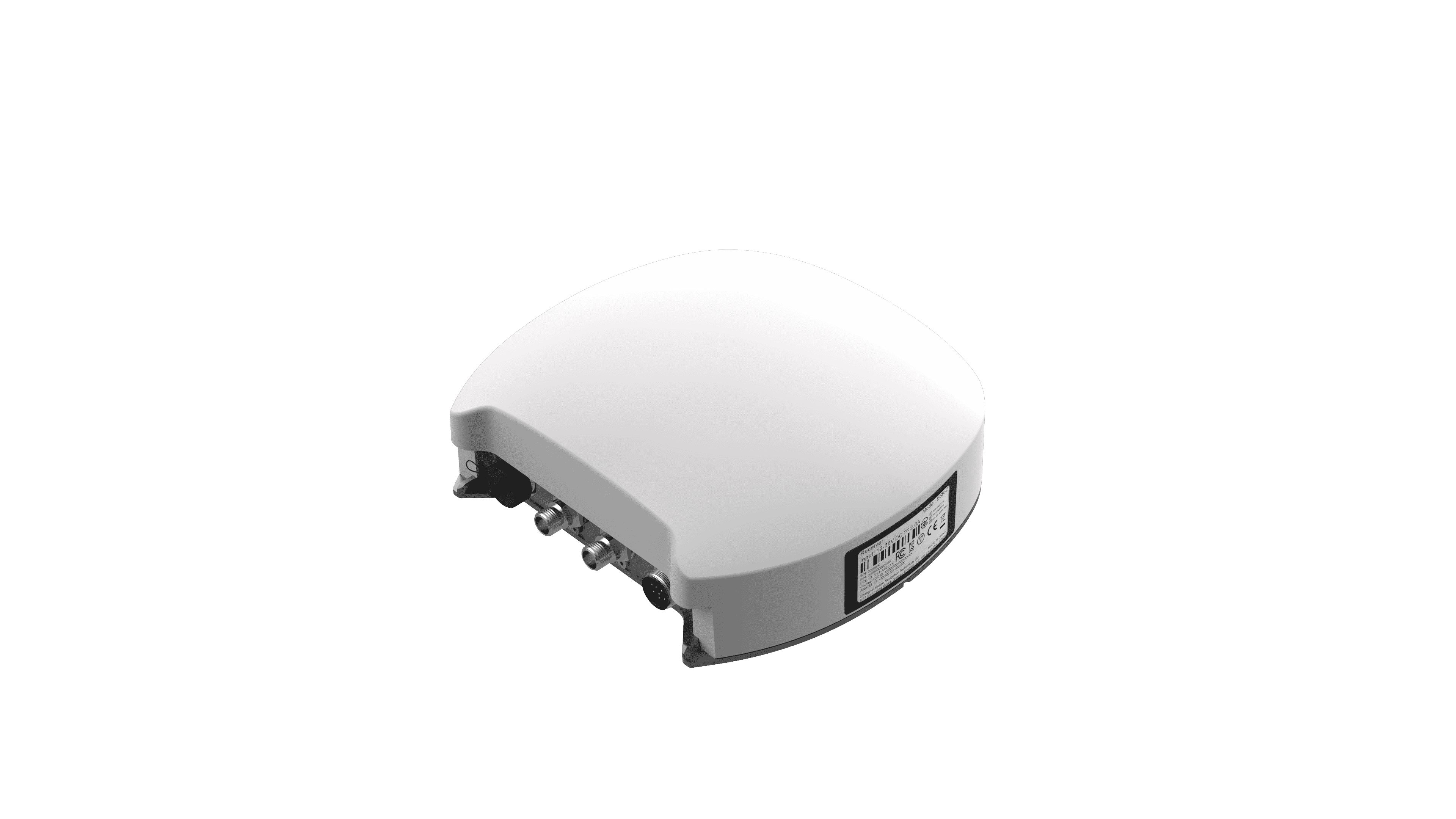
Once the site has been selected, setting up the equipment correctly is the next critical step. Begin by placing the RTK GPS base station securely on a stable platform, ensuring it is level and temporary obstructions are minimized. Connect the antenna to the base station unit and ensure it is properly calibrated according to the manufacturer's specifications. For most devices, it’s advisable to use a 624-channel F-NET Pro GNSS receiver during this stage, as it can track signals from multiple satellite systems simultaneously, providing superior raw data quality. Proper setup and configuration not only enhance performance but also extend the overall lifespan of the equipment.
Implementing Data Transmission Methods
Data transmission is a vital function of the RTK GPS base station setup, as it allows for real-time processing and correction of GNSS signals. Various methods can be employed to transmit this data, such as radio modem, cellular networks, or internet connections. It is essential to choose a method that suits your operational range and required data latency. For instance, if operating over large areas, a radio modem can offer long-range coverage without relying heavily on cellular infrastructure. Conversely, urban environments may benefit from cellular data transmission for its reliability and ease of access. Regardless of the method chosen, ensuring a stable connection between the base and rover units is paramount for obtaining maximum accuracy.
Maintenance and Calibration of the Base Station
Regular maintenance and calibration of your RTK GPS base station will prolong its operational life and enhance data accuracy. This includes periodic checks on the antenna for obstructions and physical tests on the equipment to ascertain its functionality. Calibration should be performed according to the manufacturer's guidelines, adjusting as necessary based on any environmental or operational changes. Monitoring nearby structures or vegetation that could grow over time and interfere with signal reception is also crucial. By staying proactive in protecting your base station's performance, you can sustain high-quality GNSS data for your projects.
Conclusion
In conclusion, setting up an RTK GPS base station involves thoughtful planning, accurate equipment setup, efficient data transmission methods, and ongoing maintenance. Mastering these key processes can significantly improve the quality of data collected in the field. By continuously refining these methods and utilizing advanced equipment, like the F-NET Pro GNSS from our company, EFIX, professionals can ensure optimal performance for various applications in surveying, mapping, and beyond.