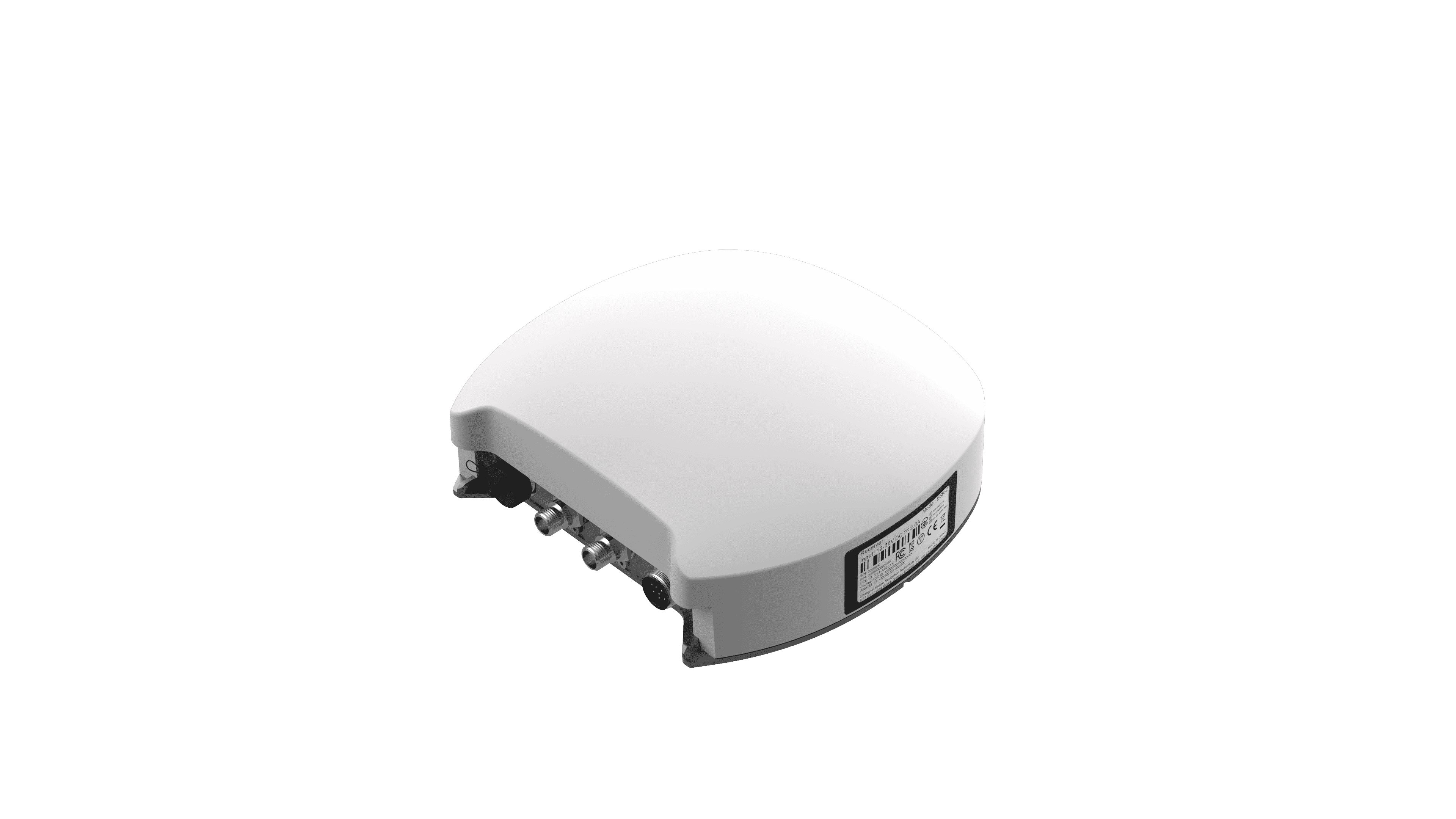
For professionals engaged in surveying, mapping, or precision agriculture, achieving high accuracy in positioning is paramount. The advent of RTK GPS base stations has revolutionized how we collect location data with precision. Integrating these base stations into GNSS networks results in superior correction signals, enhancing overall GNSS accuracy and reliability. Understanding the intricate workings of these systems can significantly impact project outcomes and improve operational efficiency.
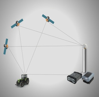
The Technology Behind RTK GPS Base Stations
RTK GPS base stations employ Real-Time Kinematic (RTK) positioning technology to mitigate errors that typically occur in GNSS signals. This technology utilizes a stationary GNSS receiver at a known location to generate correction data. The base station receives satellite signals and processes them to identify errors caused by atmospheric effects or multipath interference. By transmitting correction data to roving receivers in real-time, RTK provides centimeter-level accuracy crucial for various applications, from construction to agriculture.
Benefits of RTK in Various Industries
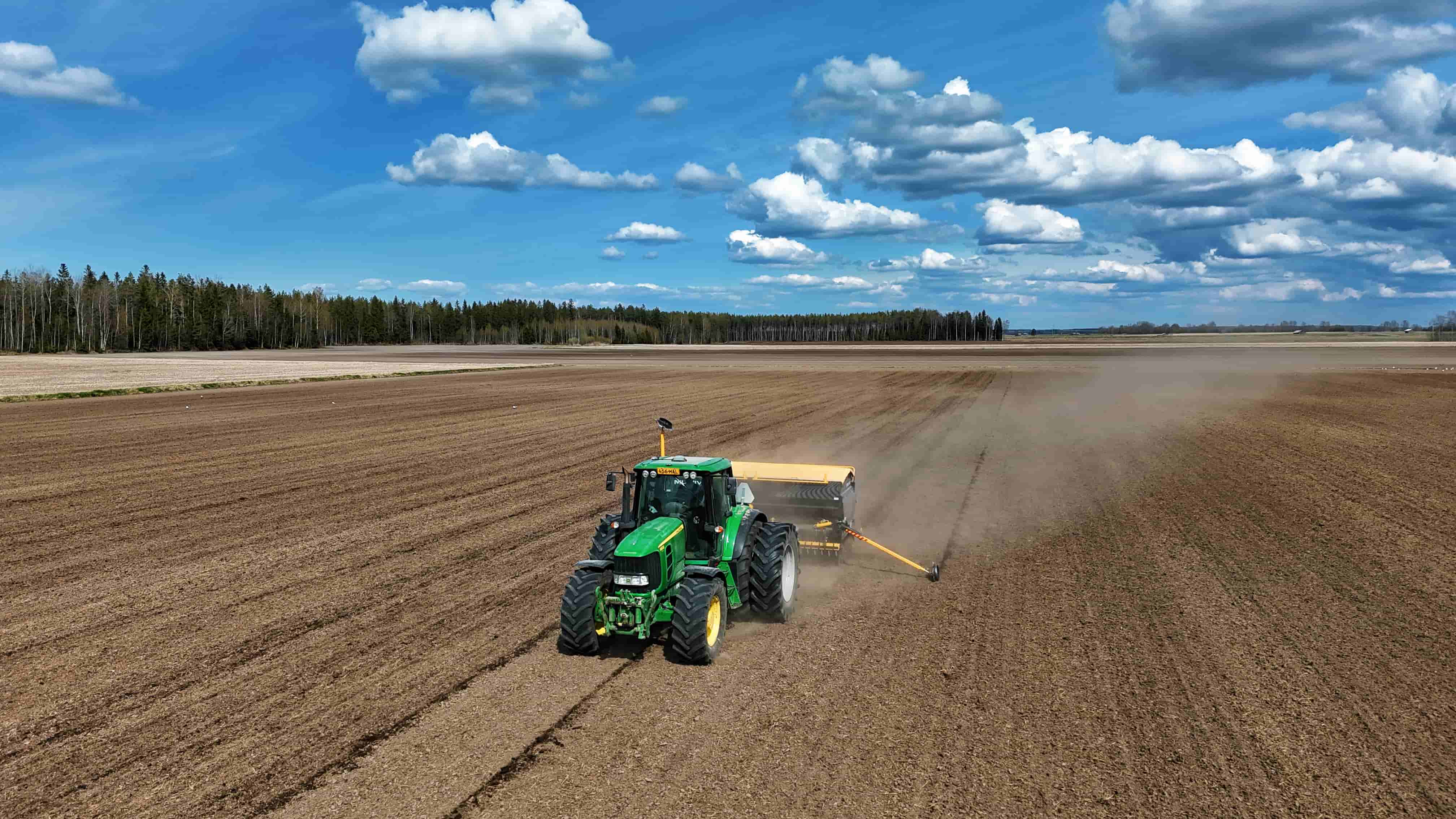
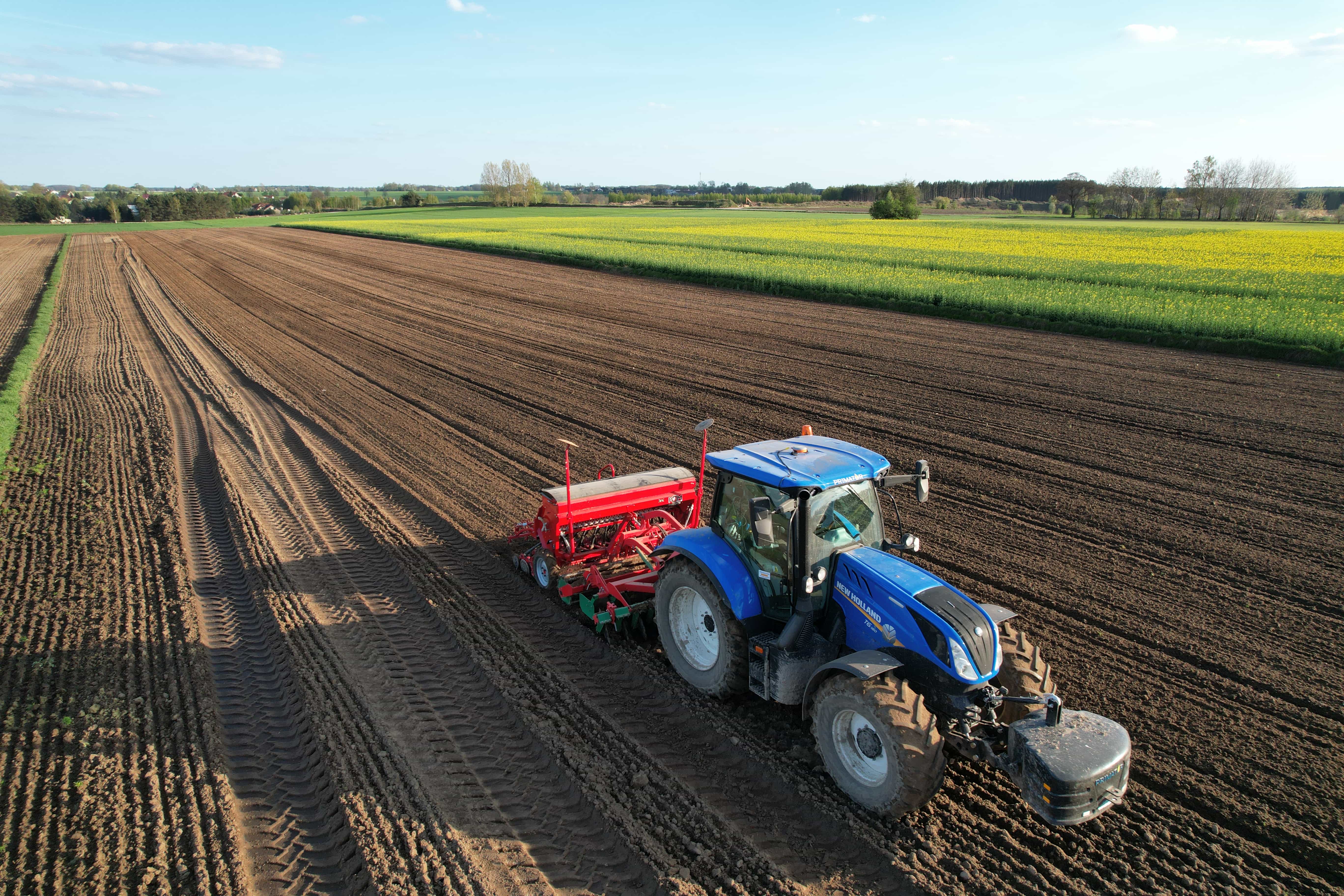
The implementation of RTK GPS base stations spans multiple industries, each benefiting uniquely from their precision capabilities. In agriculture, farmers utilize this technology for tasks such as planting, fertilizing, and harvesting with unmatched accuracy, leading to improved yields and reduced resource costs. In surveying and mapping, land surveyors rely on RTK to demarcate boundaries with precision, minimizing the risk of disputes over property lines. Additionally, industries like mining and construction leverage these systems to enhance site surveying and equipment positioning, ensuring the efficiency of operations.
Challenges and Solutions in Using RTK Systems
While the advantages of RTK GPS base stations are clear, certain challenges must be addressed for optimal performance. For instance, signal obstructions caused by buildings or natural features can hinder accurate data transmission between the base and rovers. To mitigate this, deploying additional base stations or utilizing enhanced correction services can improve coverage and reliability. Training staff on the proper setup and operation of these systems is also crucial for maximizing their potential and ensuring data integrity.
Future Trends in RTK Technology
As technology continues to advance, the future of RTK GPS base stations is promising. Innovations such as integrating these systems with AI and machine learning will enhance data processing capabilities, allowing for faster and more accurate corrections. Moreover, advancements in drone technology are poised to revolutionize land surveying and aerial mapping, with RTK providing the required precision for data collection. As these trends evolve, staying informed about the latest innovations will be essential for professionals aiming to maintain a competitive edge in their fields.
Conclusion
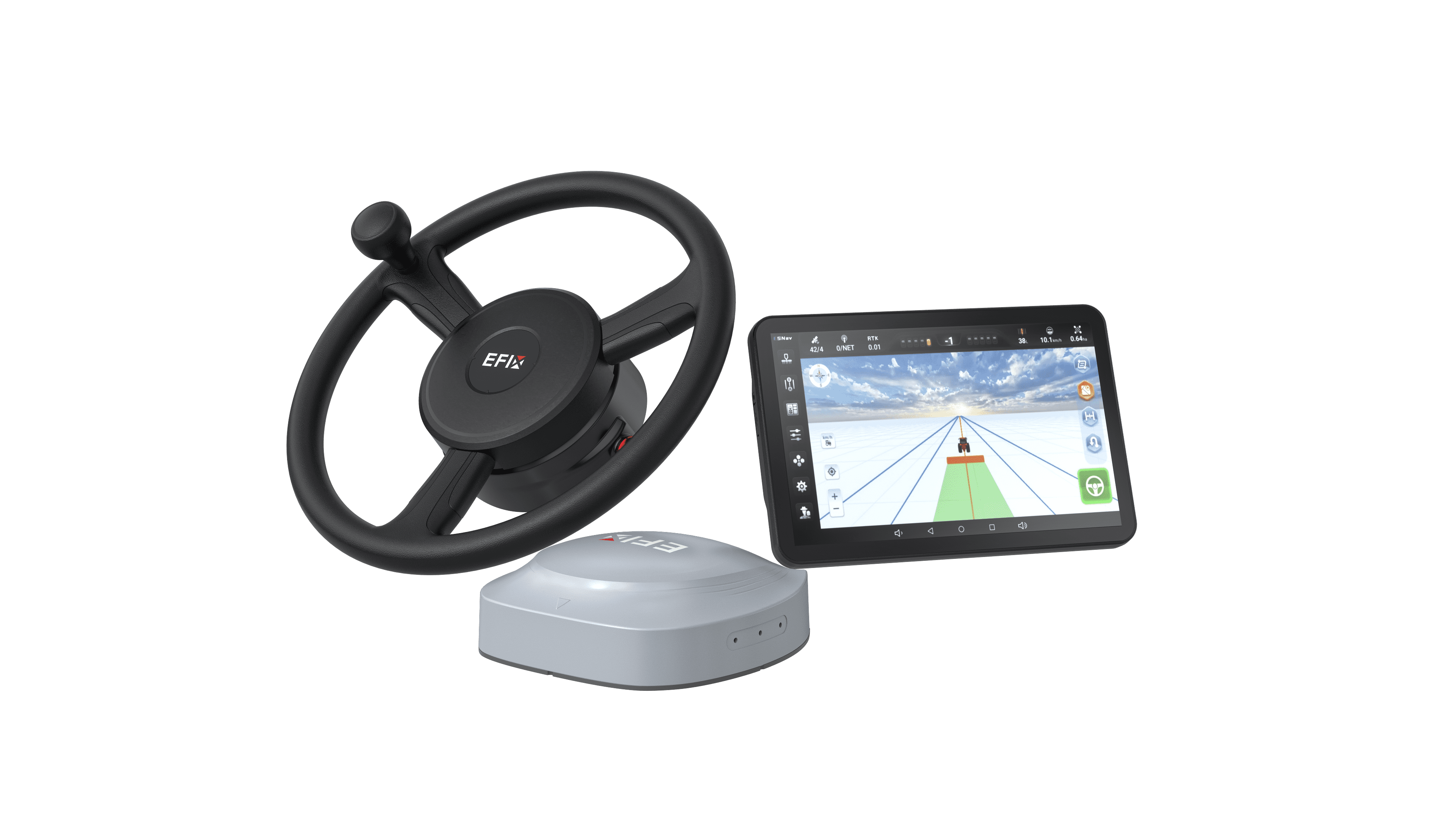
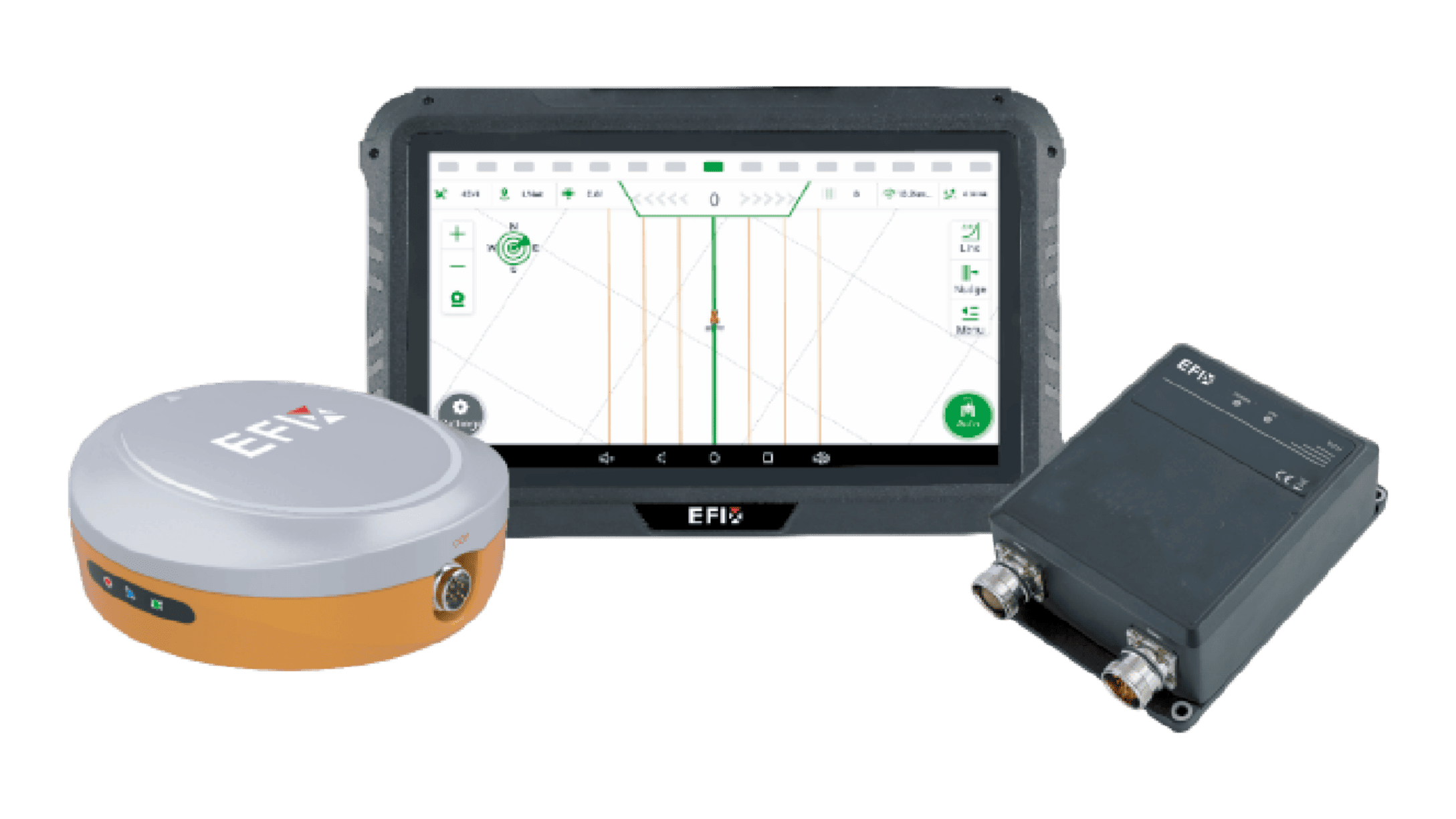
Professional applications in surveying, agriculture, and construction are being transformed by the integration of RTK GPS base stations. Through their advanced technology, these systems significantly improve GNSS accuracy and efficiency. At EFIX, we are committed to providing top-tier GNSS solutions, including our F-NET Pro GNSS reference stations, which serve as the backbone of RTK networks. By investing in high-quality GNSS technology, organizations can enhance their operations and embrace the potential that precise positioning offers.