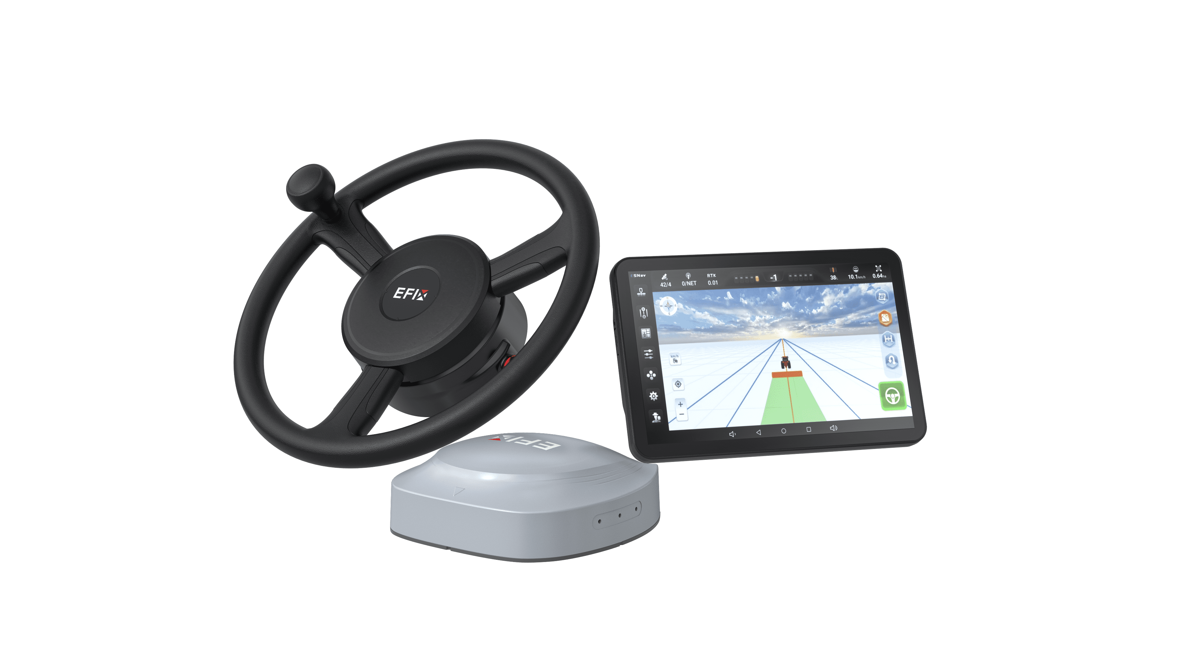
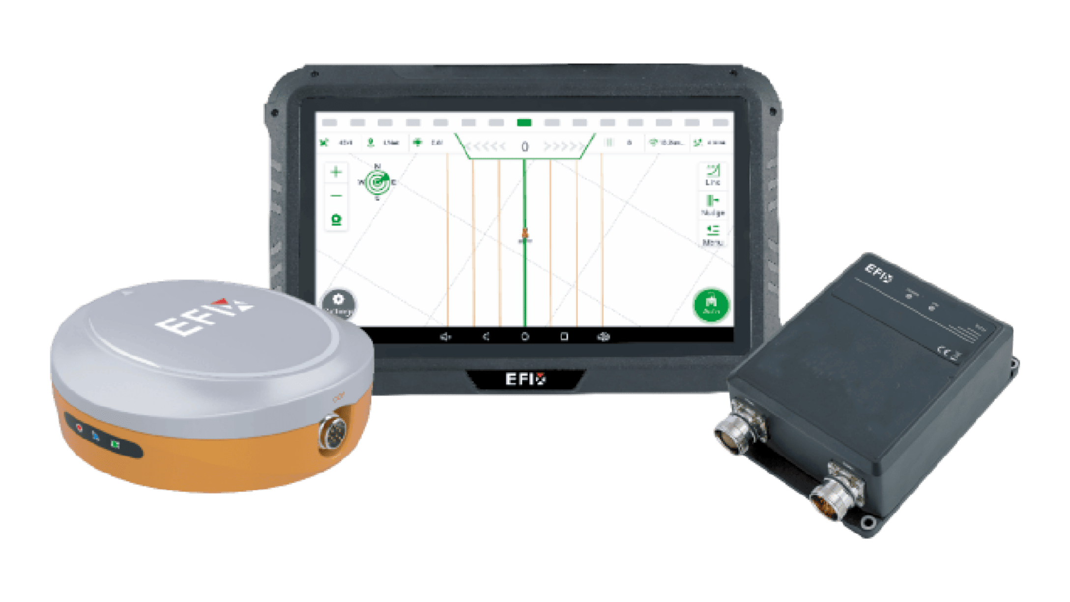
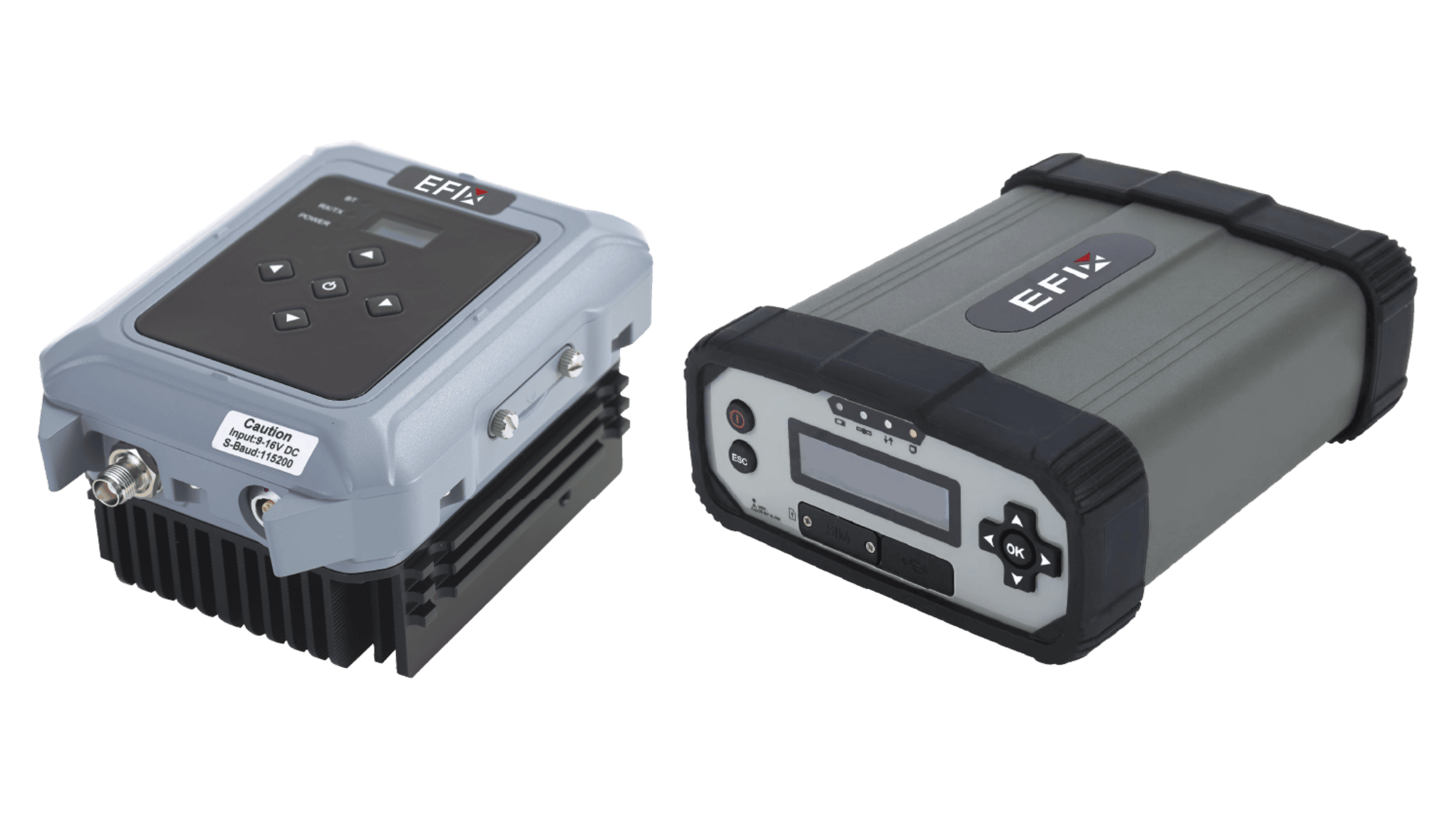
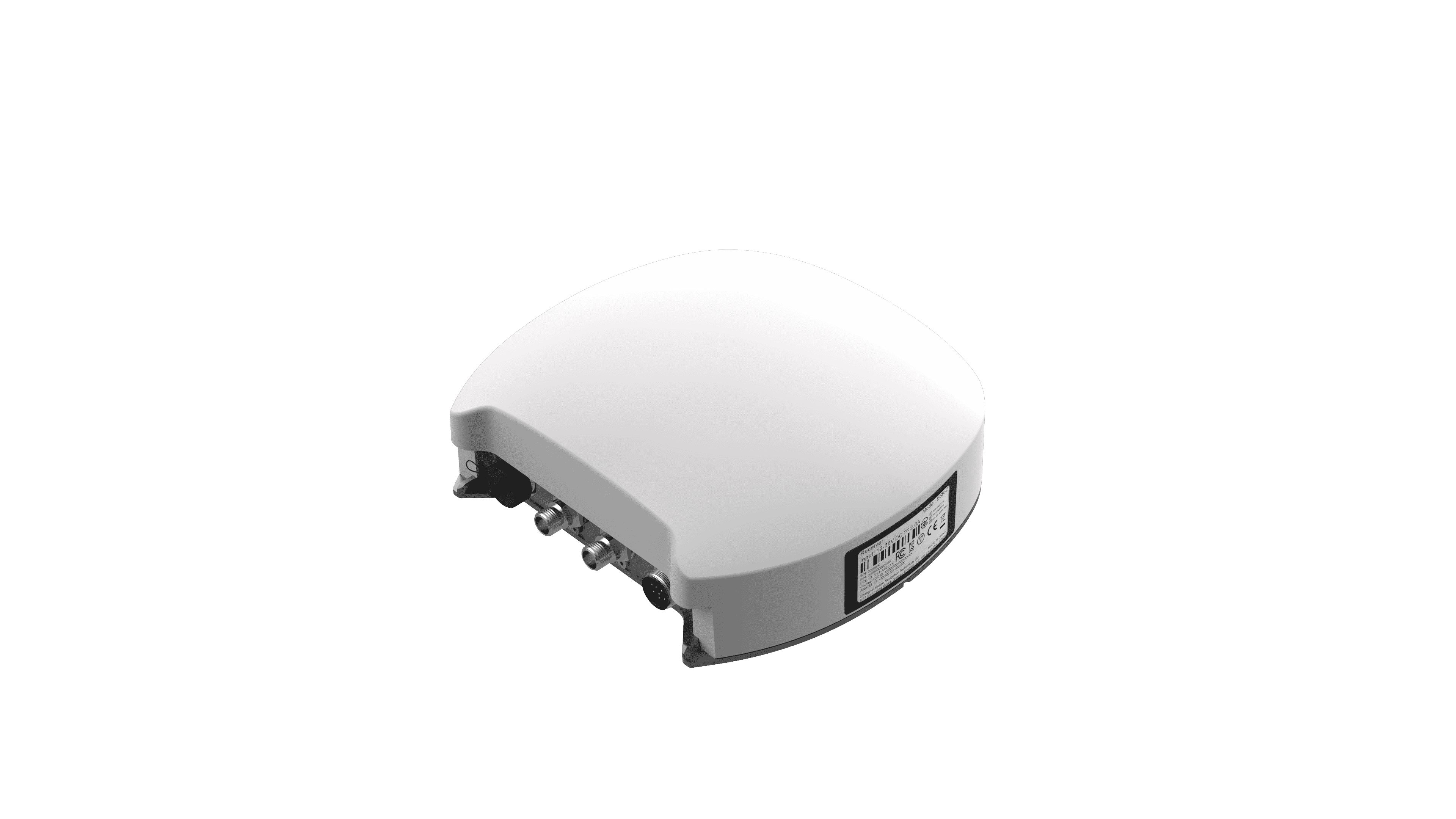
Accurate positioning is essential in surveying, mapping, construction, agriculture, and other outdoor applications. However, signals received directly from satellites can contain errors caused by atmospheric conditions, satellite orbit changes, and other factors. A GNSS reference station helps improve positioning by receiving satellite signals from a known location and providing correction data to nearby or connected receivers. At EFIX, we focus on positioning technology that supports flexible signal services and practical field applications across different working environments.

How a Reference Station Provides Correction Data
A reference station is installed at a known and stable location. It continuously tracks GNSS satellite signals and compares the calculated position with its known position. The difference can be used to generate correction information. This data is then transmitted to compatible field receivers, which use it to improve their positioning results. The quality of this process depends on factors such as satellite visibility, communication reliability, and receiver compatibility.
Why Protocols and Data Formats Matter
Correction data needs to be understood by both the reference station and the receiving equipment. This is why communication protocols and data formats are important parts of a positioning system. Modern equipment may need to support different protocols depending on the project and connected devices. The FL3 supports industry-standard UHF protocols, including CHC, Transparent, and TT450S. It also supports CMR, RTCM2.X, and RTCM3.X data formats. This flexibility can make it easier to integrate the system into different positioning workflows.
Where Reference Stations Are Commonly Used
A GNSS reference station can support many applications that require accurate positioning. Surveying teams may use correction data for field measurements and mapping. Construction projects can use it to support machine positioning and site layout. Precision agriculture can also benefit from correction services for automated guidance and field operations. Before selecting a system, users should consider the required accuracy, communication method, coverage area, and compatibility with existing receivers.
Conclusion
A GNSS reference station works by using a known position to generate correction data that can improve the accuracy of connected GNSS receivers. Its effectiveness depends not only on satellite signals but also on communication protocols, data formats, and system compatibility. At EFIX, we believe flexible positioning technology should work with the equipment and workflows used in real projects. By understanding how correction data is generated and transmitted, users can make better decisions when building a reliable GNSS positioning system.