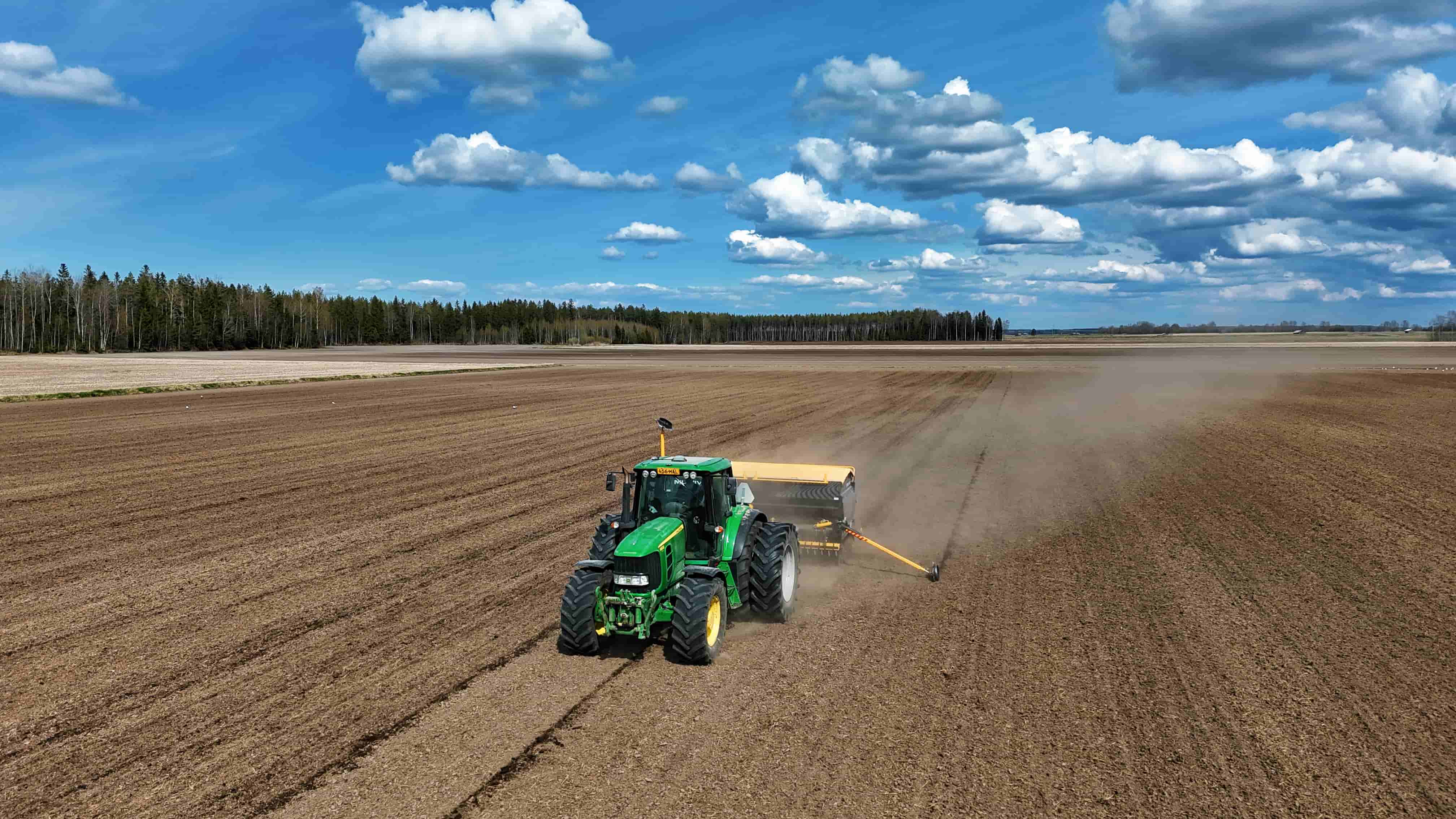
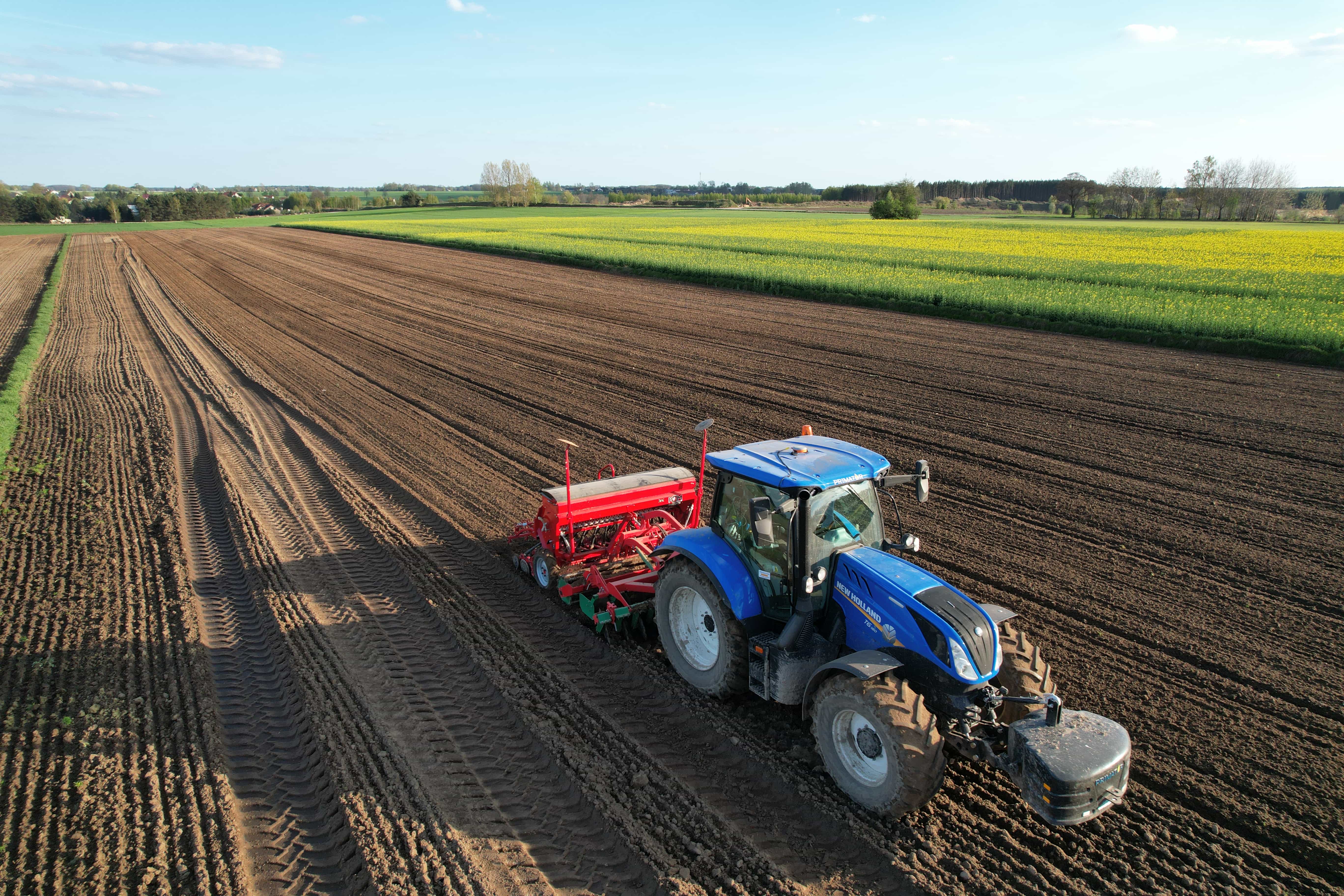
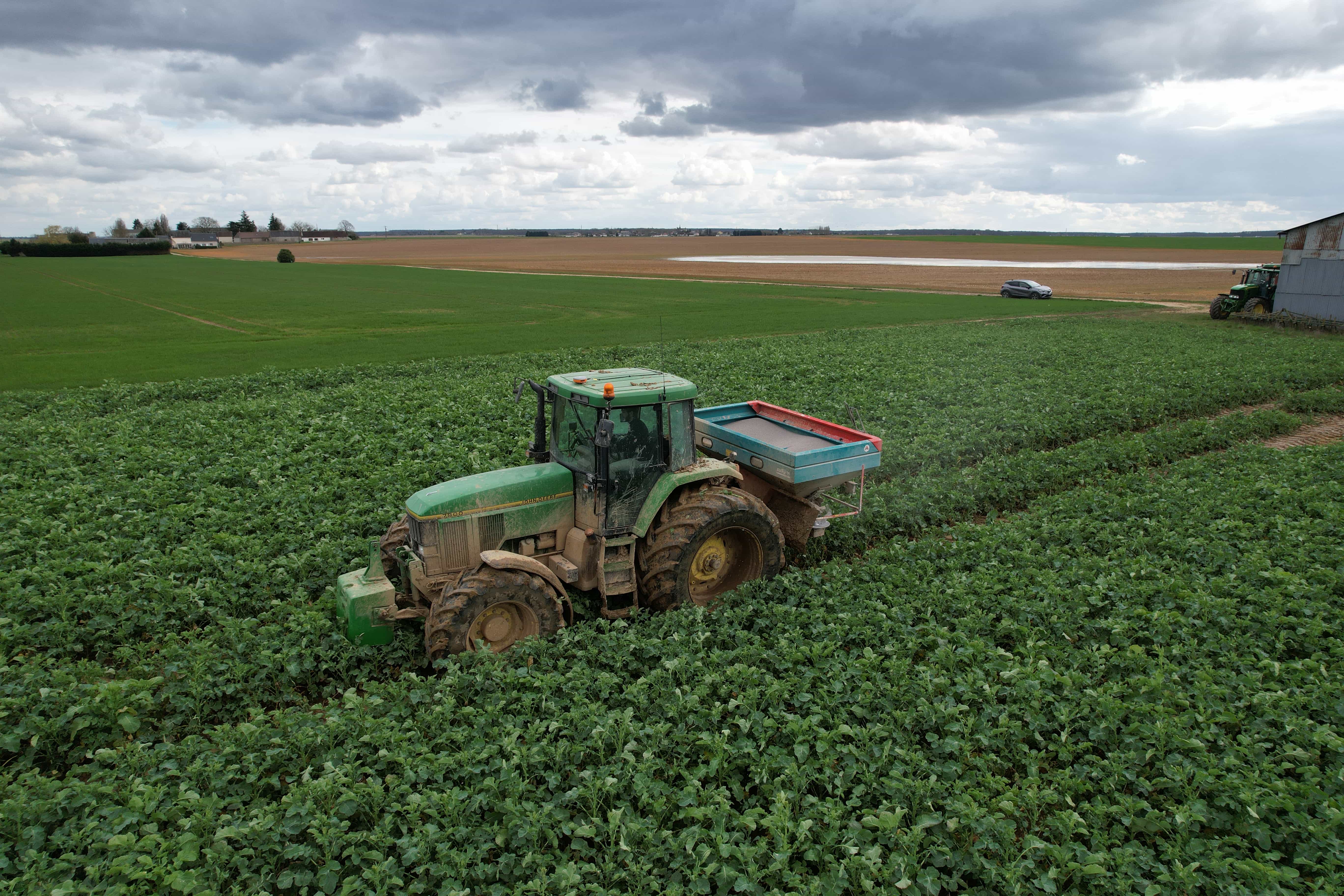
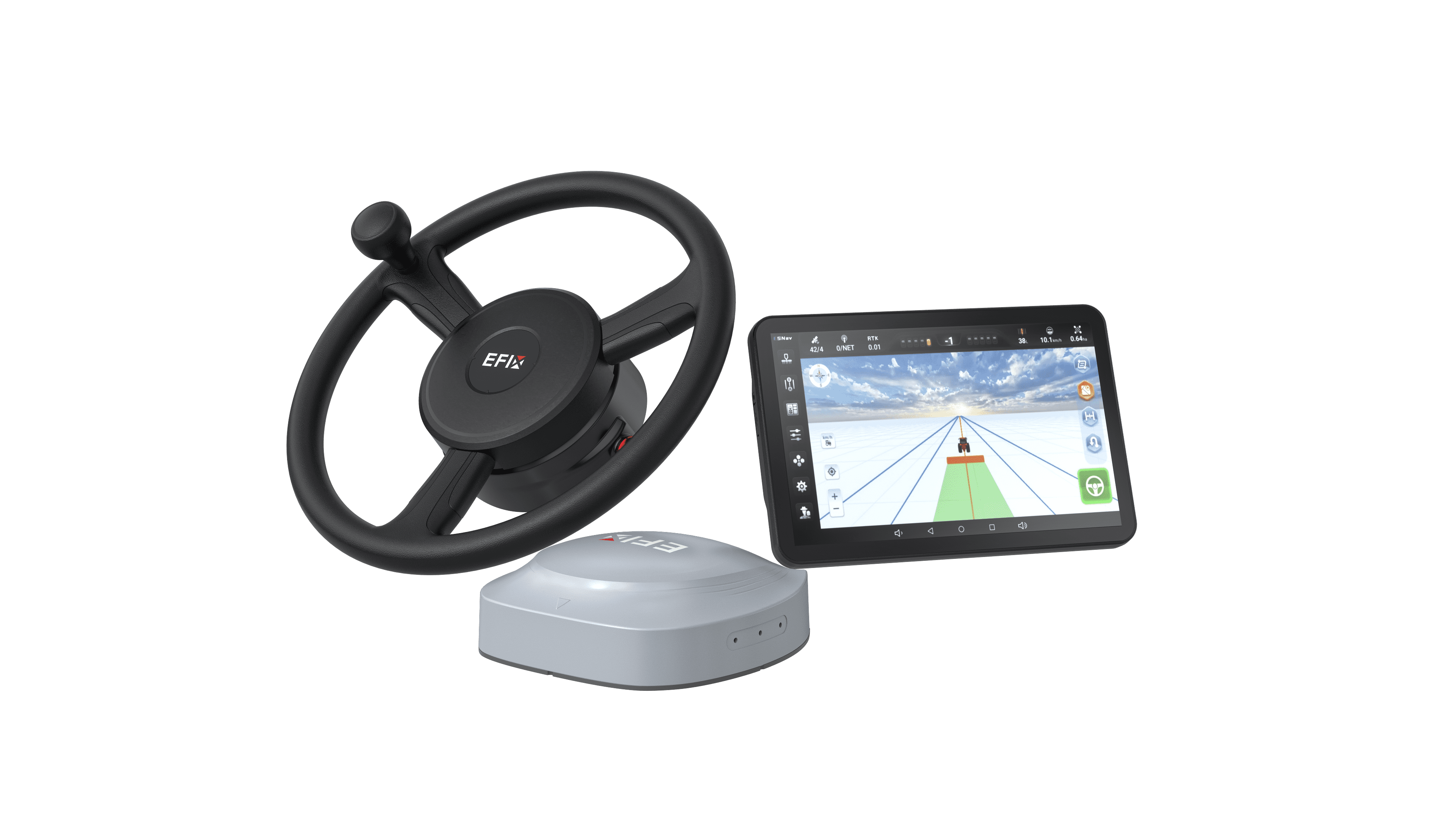
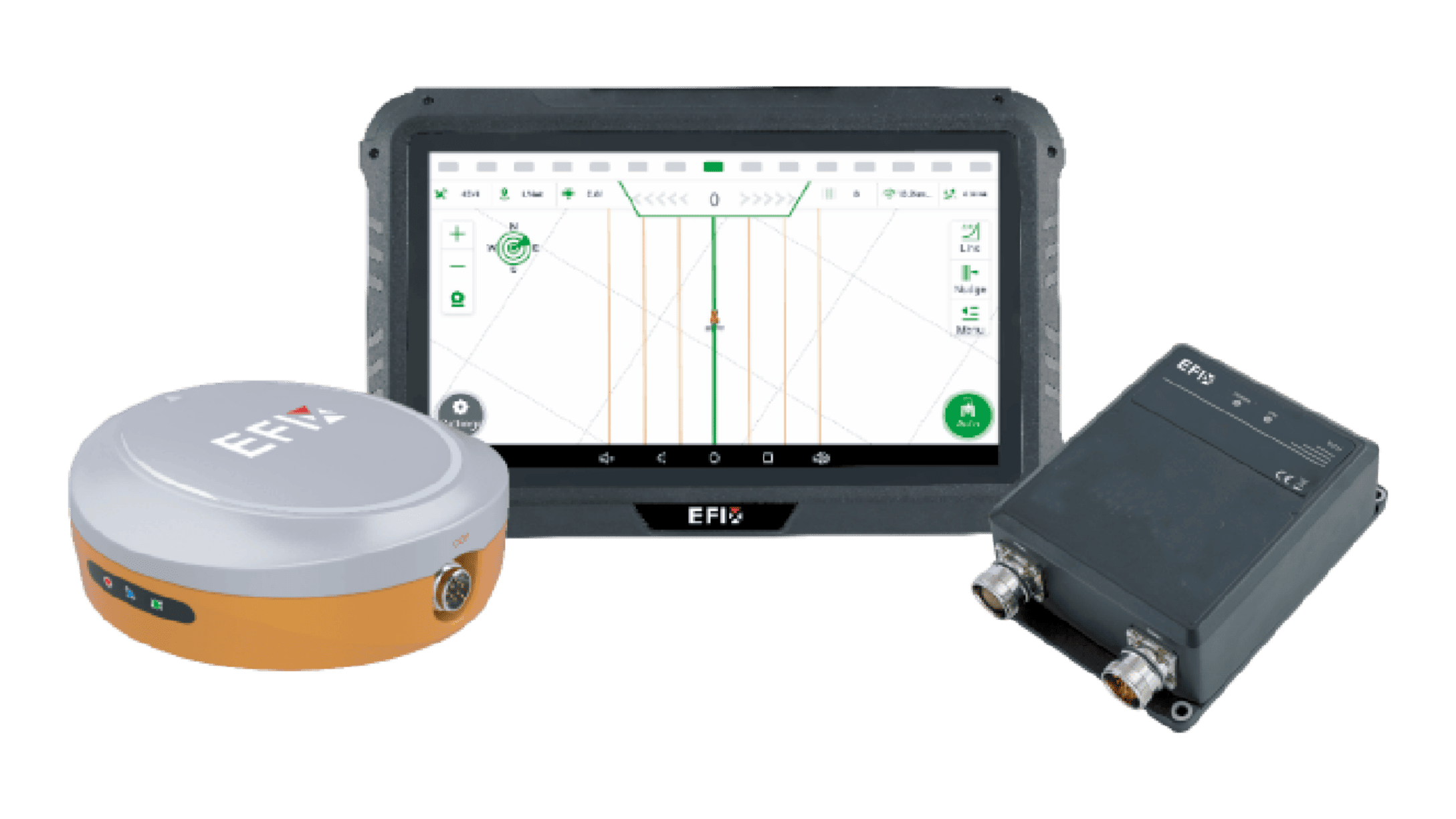
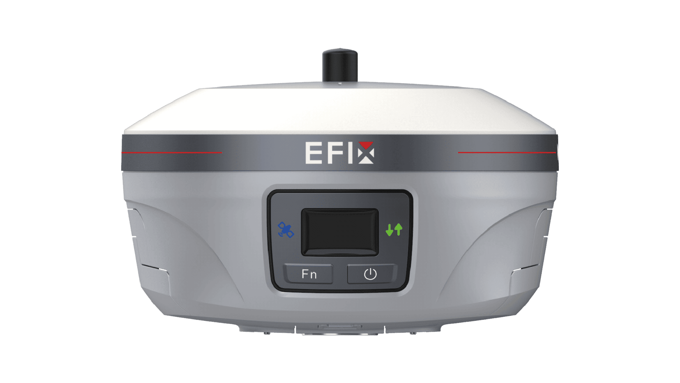
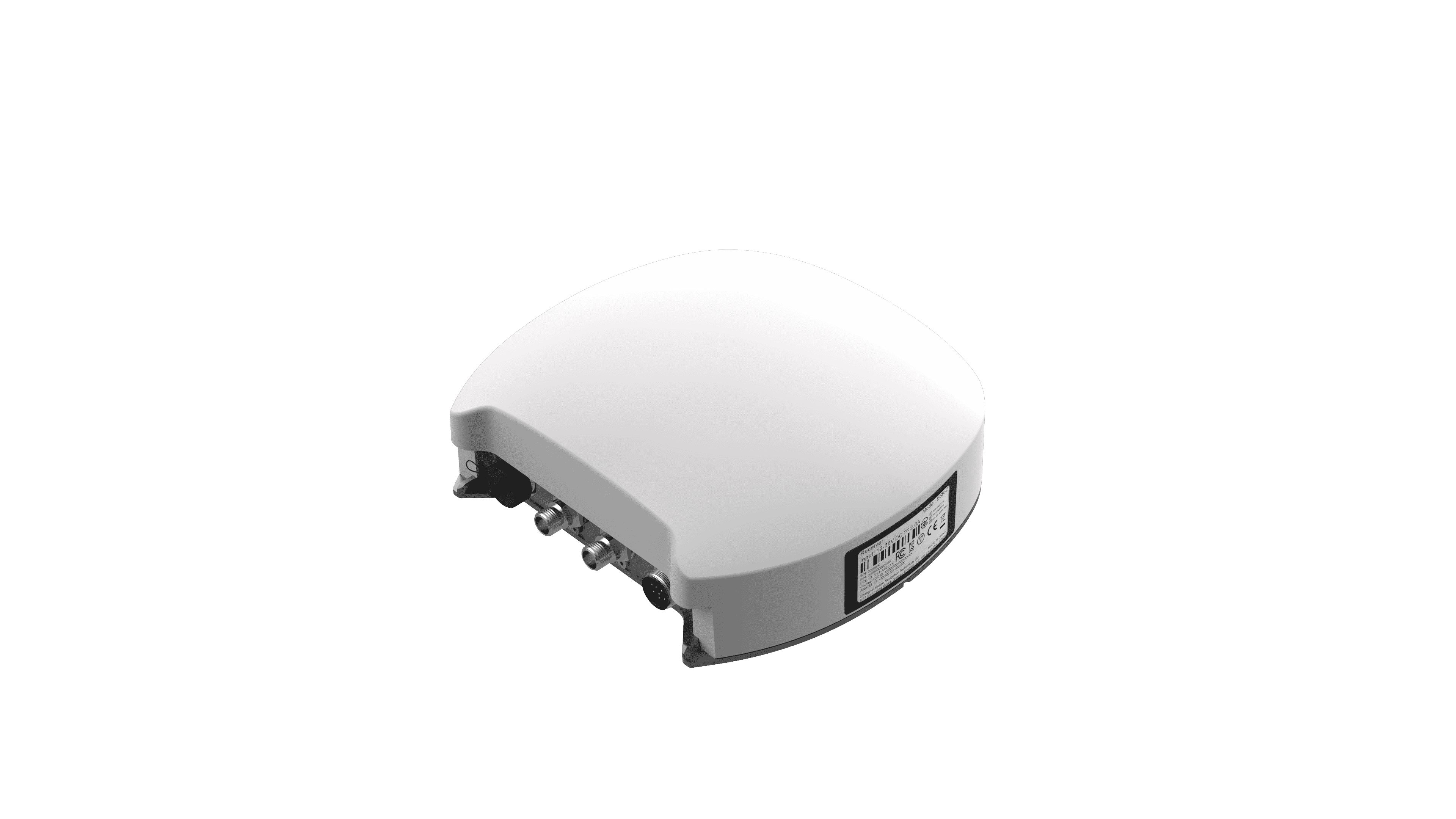
Precision agriculture has changed how farmers manage fields, but accurate positioning remains a basic requirement. Most agricultural positioning systems rely on the Global Navigation Satellite System (GNSS), with GPS being the most commonly used satellite positioning technology within the GNSS ecosystem. Satellite-based correction services are widely available, yet many operations still choose local correction infrastructure for greater control over positioning data. A GPS base station can provide a stable correction source for agricultural vehicles and equipment working across the same farm or operational area. This is especially useful for tasks that require repeatable positioning, such as auto steering, planting, spraying, and field mapping. At EFIX, we see correction infrastructure as an important part of building a practical precision farming workflow.
The Role of Correction Data in Precision Farming
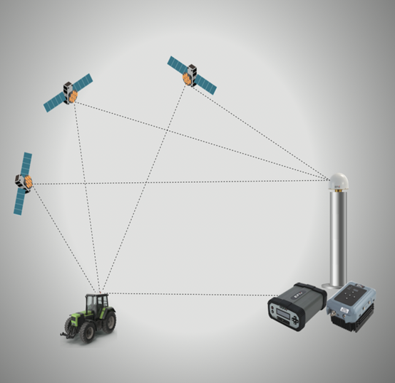
Raw GPS satellite signals, which belong to standard GNSS positioning services, can be affected by atmospheric conditions, satellite geometry, and other sources of error. These inherent errors make pure satellite positioning inaccurate for high-precision agricultural tasks. Correction data helps reduce these errors and improves positioning consistency. For farming, this can support more accurate vehicle guidance and repeatable field operations. A local reference station observes GNSS signals from a known position and sends correction information to compatible equipment. This allows machines to use updated positioning data while working in the field. The value of a GPS base station is therefore not simply about basic location information. It is about creating a more consistent positioning environment for precision applications.
Why Local Infrastructure Still Matters
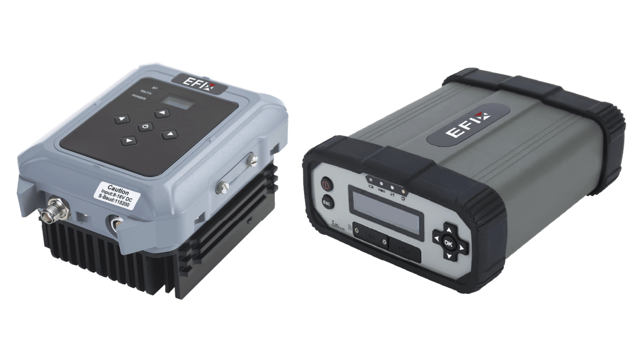
A farm may have several machines working at the same time, and some operations may cover large areas. Using a local correction source can give operators more control over how correction data is generated and distributed. It can also be useful in locations where cellular connectivity is limited or inconsistent. For example, the F-NET Pro works as an advanced GPS-compatible GNSS reference station for demanding positioning applications, while the FL3 functions as a UHF radio modem for transmitting correction data. Together, they can form a practical setup for operations that require reliable communication between the reference station and field equipment.
Choosing the Right Base Station Setup
Not every farming operation has the same requirements. Before selecting a system, we recommend checking GNSS constellation support, communication range, supported protocols, data formats, and environmental protection. Modern GPS base stations are designed to integrate full GNSS constellation coverage for stronger signal stability. The F-NET Pro can support multiple GNSS constellations and provide positioning services for demanding applications. The FL3 adds UHF communication capabilities and is designed for outdoor environments. These features matter because a GPS base station needs to fit into the wider positioning system rather than operate as an isolated device.
Conclusion
Precision farming continues to depend on accurate and repeatable positioning, even as correction technologies become more diverse. As the core equipment for calibrating GPS and GNSS positioning deviation, local reference stations remain valuable because they can provide an independent correction source and support stable field operations. The right choice depends on farm size, equipment, connectivity, and application needs. At EFIX, we focus on combining GNSS positioning and communication technologies to support practical precision agriculture workflows. A well-planned correction setup can help farmers build a more consistent positioning foundation for automated and data-driven field operations.