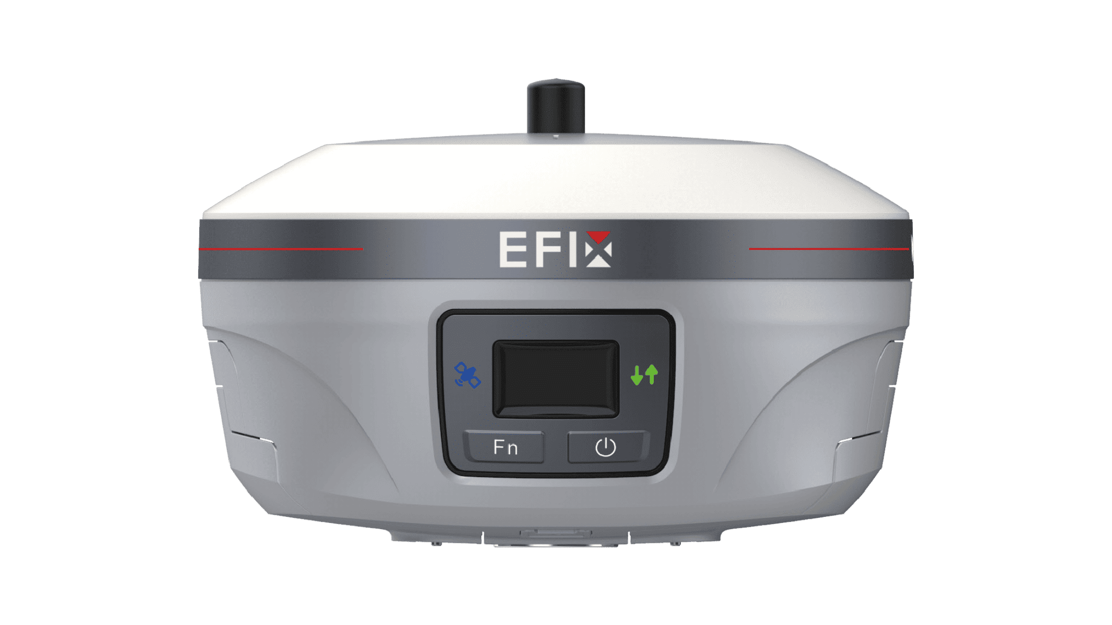
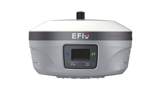
Surveying technology has changed significantly as field teams look for faster ways to collect accurate positioning data. Traditional total stations remain useful, especially for sites with heavy obstructions or projects that require precise angle and distance measurements. However, satellite-based positioning offers greater flexibility for many open-area surveying tasks. A GNSS receiver for surveying can determine positions without requiring a direct line of sight between every measured point and the instrument. At EFIX, we see this flexibility as one reason GNSS technology has become an important part of modern surveying workflows.
Faster Field Work and Flexible Positioning
One major difference between GNSS and traditional total stations is how positioning data is collected. A total station generally requires a clear line of sight between the instrument and target. This can increase setup time when working across large or complex sites. GNSS can reduce this limitation in open environments by using satellite signals and correction services to determine position. Surveyors can move between points without repeatedly relocating the main instrument. For projects such as land surveys, construction layout, and infrastructure mapping, this can make field operations more flexible. A GNSS receiver for surveying is especially useful when teams need to cover larger areas while maintaining consistent positioning workflows.
Portable Setup for Changing Job Sites
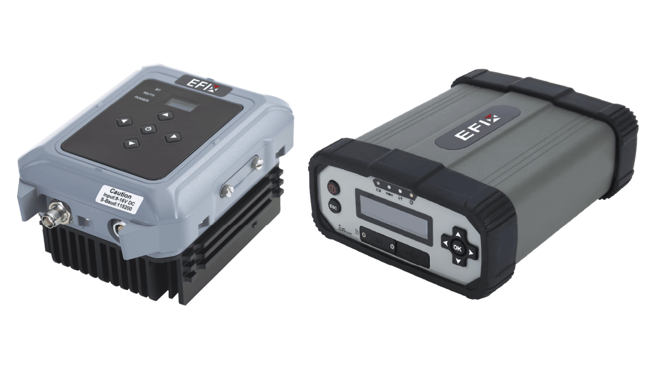
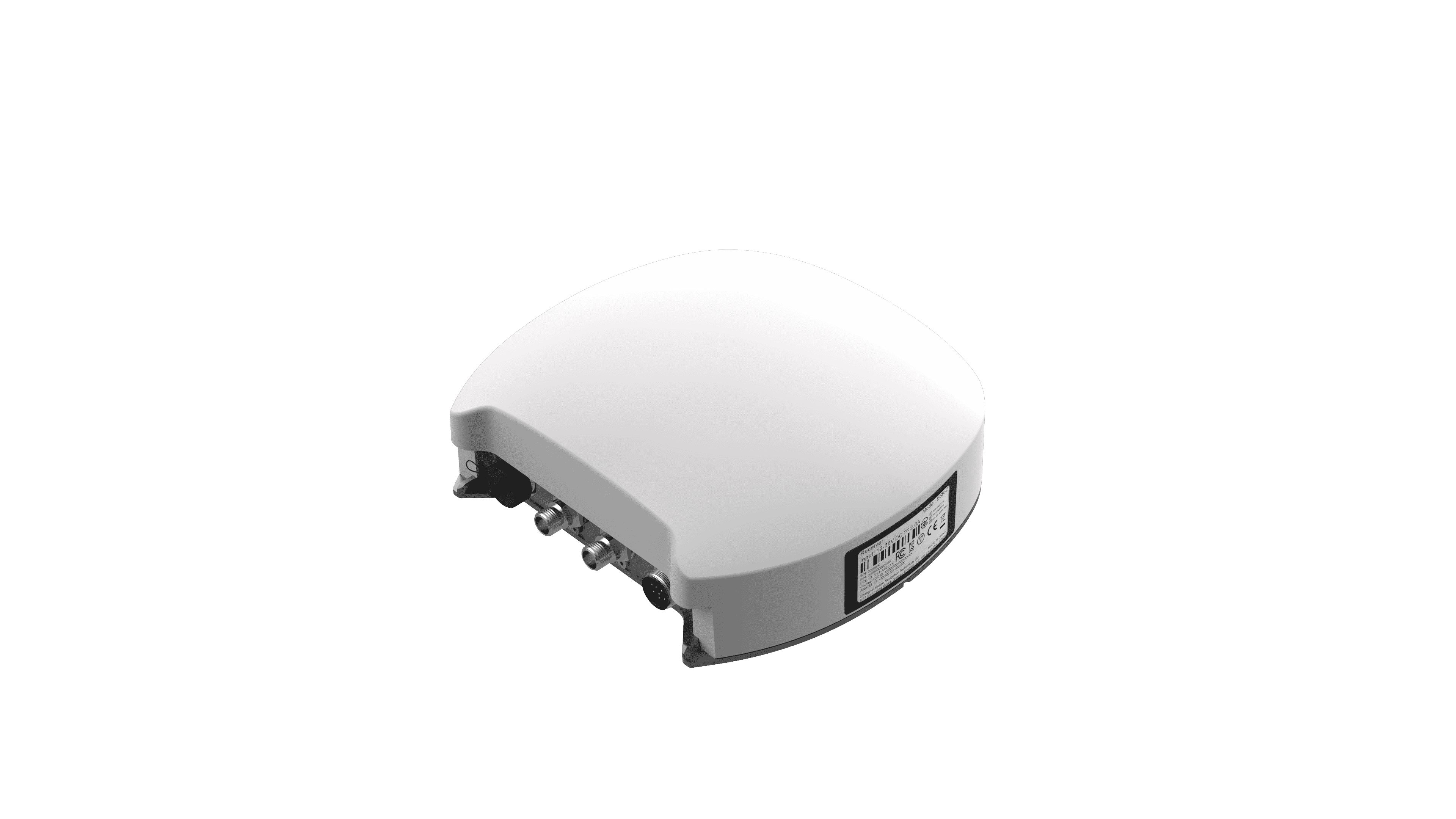
Surveyors often work across multiple locations in a single project. Equipment that is easy to transport and quick to deploy can therefore make a practical difference. The eBase is an integrated portable GNSS base solution designed to simplify field deployment. Its integrated design reduces overall package weight by more than 70%, while the setup process can help teams get started in the field at least three times more efficiently. It also integrates a 5W UHF modem and 4G modem, supporting multi-mode RTK correction transmission through UHF and TCP/IP services. This combination can be useful for survey teams that need flexible correction options at changing job sites.
Choosing GNSS for the Right Surveying Task
GNSS is not a replacement for every surveying instrument. Dense urban areas, tree-covered sites, and locations with limited satellite visibility may still require total stations or other tools. However, GNSS can be highly practical for open environments where satellite signals are available. Surveyors should consider the project's required accuracy, site conditions, correction service, communication method, and workflow before choosing equipment. A modern GNSS receiver for surveying can work alongside total stations rather than replacing them completely, allowing teams to select the right technology for each task.
Conclusion
The growing use of GNSS in surveying comes from its ability to provide flexible positioning across suitable field environments. Reduced line-of-sight requirements, portable equipment, and multiple correction communication options can simplify many surveying workflows. Total stations still have an important role where satellite visibility is limited or detailed optical measurements are required. At EFIX, we focus on practical GNSS solutions such as the eBase to support survey teams that value portability, efficient deployment, and flexible RTK correction transmission.