Satellite positioning has become an important part of modern surveying, construction, agriculture, and machine guidance. However, standard GNSS positioning may not provide enough accuracy for tasks that require precise measurements or repeatable machine paths. RTK, short for Real-Time Kinematic, addresses this challenge by using correction data to improve the position calculated from satellite signals. An RTK GNSS receiver can combine GNSS observations with real-time correction information for much more precise positioning. At EFIX, we work with GNSS technologies that help professionals apply accurate positioning in practical field environments.

How RTK Correction Works
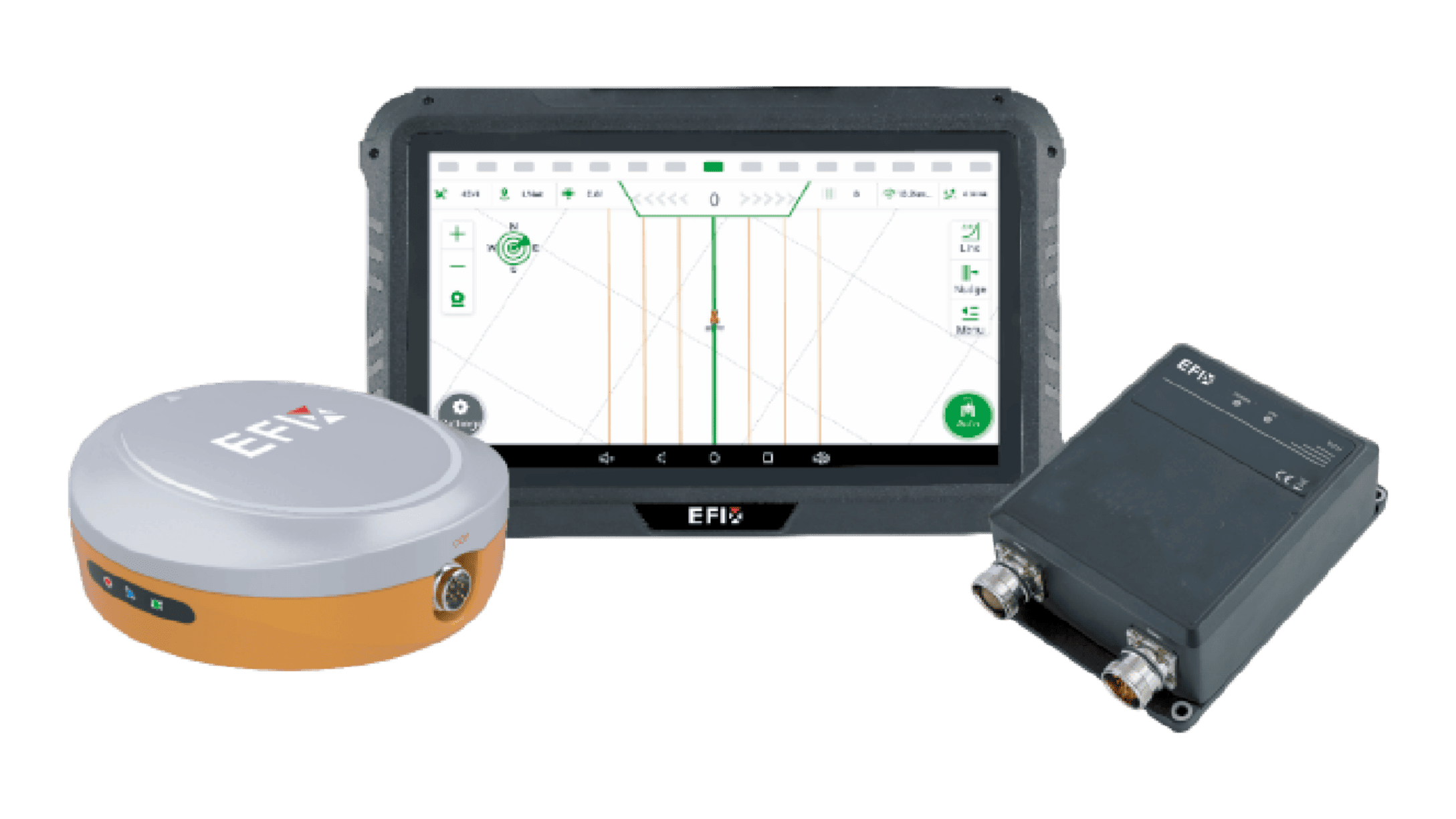
An RTK system generally includes a base station and one or more rover receivers. The base station is installed at a known position and continuously observes signals from GNSS satellites. Because its exact location is already known, it can compare the calculated satellite position with its actual position and determine positioning errors. This correction data are then transmitted to the rover through communication methods such as UHF radio or mobile networks.
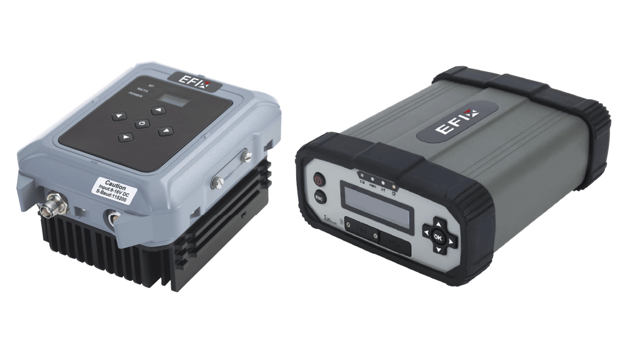
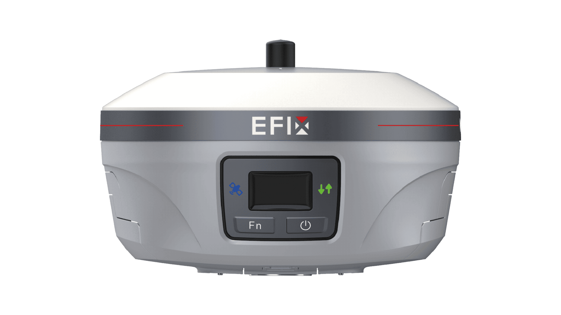
The rover receives the correction information and combines it with its own satellite observations. By processing both sources of data, the system can significantly improve positioning accuracy compared with standard standalone GNSS. This setup is especially useful for applications that require centimetre-level positioning. The eBase GNSS receiver, for example, is an integrated professional GNSS base station designed specifically for surveyors working in UHF base-rover mode. Its integrated approach can simplify the equipment setup for field-based positioning workflows.
Why RTK Matters for Professional Applications
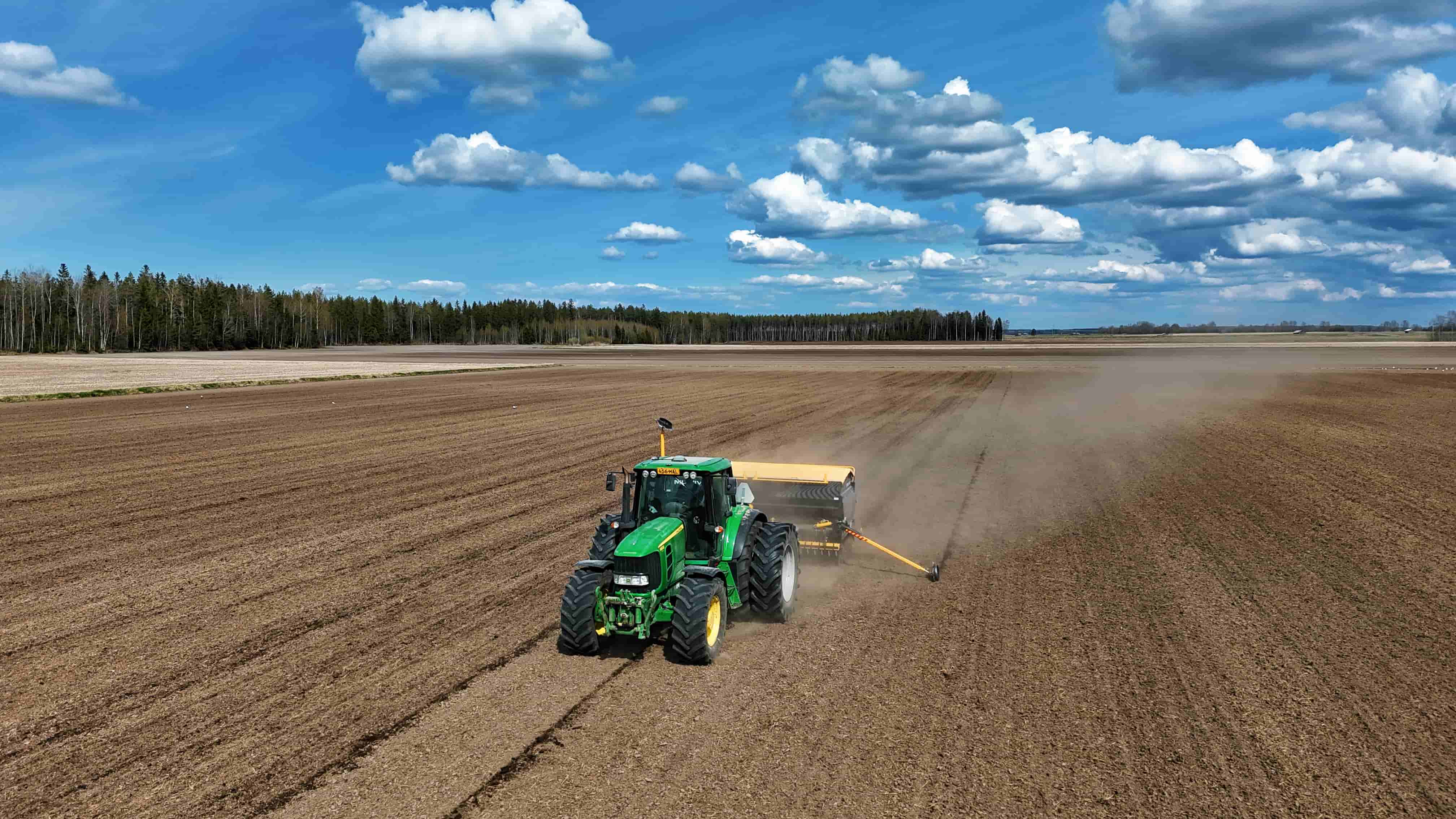
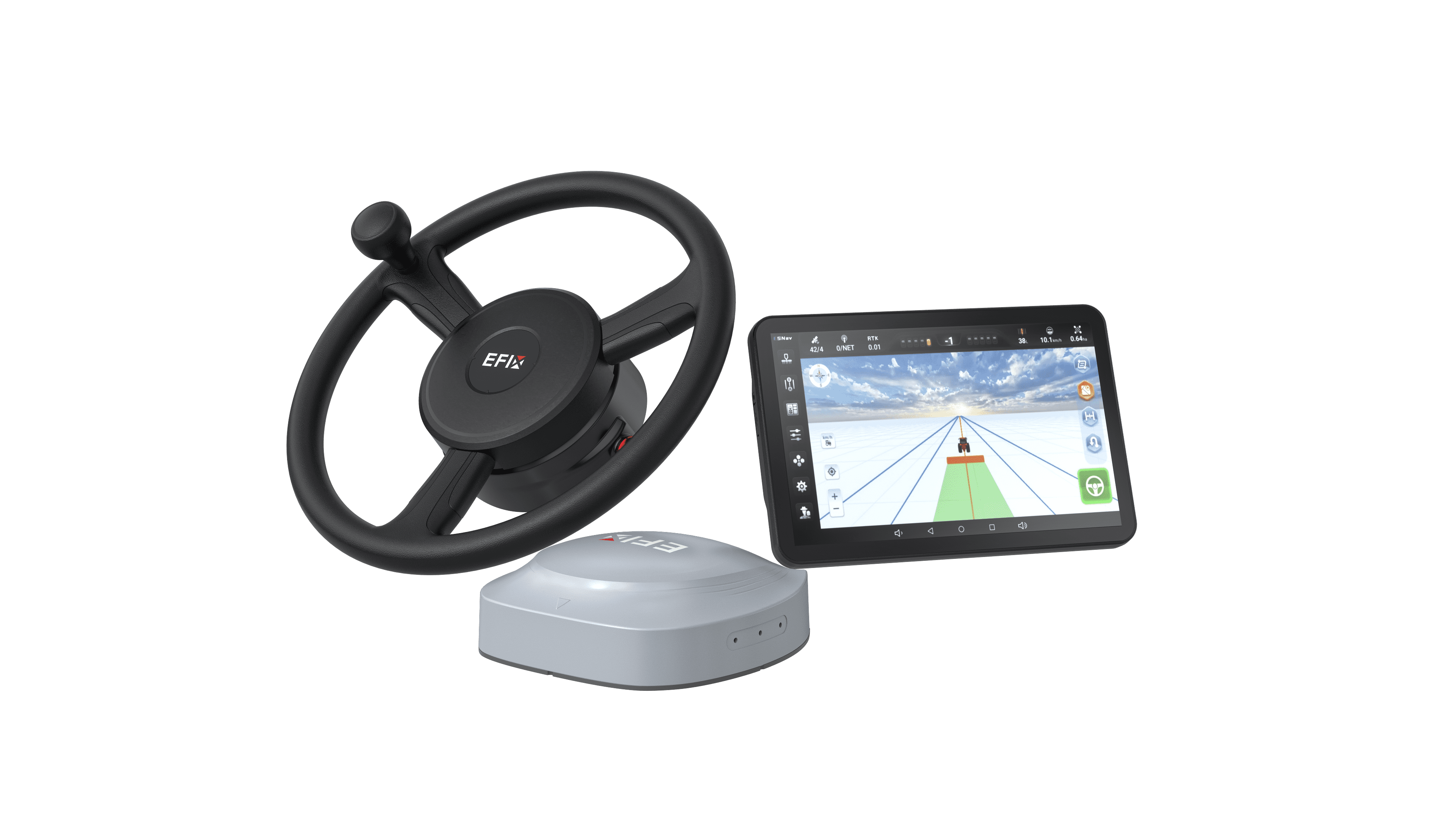
High-accuracy positioning can support many professional tasks. Surveyors can use RTK for boundary measurement, construction layout, topographic mapping, and other field data collection. In agriculture, precise positioning can support guidance, planting, spraying, and repeatable field passes. Construction teams can also use accurate coordinates to position equipment and check site features.
The value of RTK is not limited to achieving a smaller positioning error. Consistent correction data can also improve repeatability between different field operations. For example, a survey team may return to the same area on different days and use the same reference framework for measurements. A suitable RTK GNSS receiver therefore becomes part of a broader positioning workflow rather than simply acting as a satellite signal reader.
Choosing the Right RTK Equipment
The performance of an RTK setup depends on more than the receiver itself. Satellite constellation support, correction sources, communication range, terrain, and working distance all affect practical results. Surveyors using UHF base-rover systems should consider the required coverage area and the local environment before selecting equipment. A compact integrated design may also be useful for teams that frequently move between different job sites.
It is also important to consider how the base station fits into the overall workflow. An integrated unit can reduce the number of separate components required for field deployment. The eBase GNSS receiver is designed around the needs of UHF base-rover surveying, providing a dedicated option for professionals who need a base station solution for field positioning tasks.
Conclusion
RTK improves GNSS positioning by combining satellite observations with correction data from a known reference position. This method can provide the accuracy and repeatability needed for surveying, construction, agriculture, and other professional applications. Selecting the right RTK GNSS receiver requires consideration of correction methods, communication options, satellite support, and field conditions. At EFIX, we focus on practical GNSS solutions that help professionals bring high-accuracy positioning into real-world workflows.